Near Golden Valley in Mohave County, Arizona — The American Mountains (Southwest)
Cool Springs Station

Photographed by Jason Voigt, March 3, 2022
1. Cool Springs Station Marker
Ned Leuchtner Restorer,
Cool Springs
Erected 2019 by Lost Dutchman Chapter 5917+4, Ancient & Honorable Order of E Clampus Vitus.
Topics and series. This historical marker is listed in these topic lists: Indigenous Peoples and Communities • Industry & Commerce • Roads & Vehicles. In addition, it is included in the E Clampus Vitus, and the U.S. Route 66 series lists.
Location. 35° 1.641′ N, 114° 18.517′ W. Marker
this page online

Regionally, this marker is in the Colorado River Valley. It is also in the American Southwest. Globally, it is in North America, the Western Hemisphere, the Western World, and the Anglosphere. Historically, it finds itself in what was once New Spain and also Mexico’s Alta California.
Other nearby markers. At least 8 other markers are within 5 miles of this marker, measured as the crow flies: Roads for Adventure (approx. half a mile away); Gold Road Mine (approx. 4.1 miles away); Oatman Drug and Health Club (approx. 4.2 miles away); Arizona Hotel (approx. 4.2 miles away); Oatman (approx. 4.2 miles away); Gold Mining Ghost Town, Oatman, Arizona (approx. 4.2 miles away); Oatman Arizona and its Burros
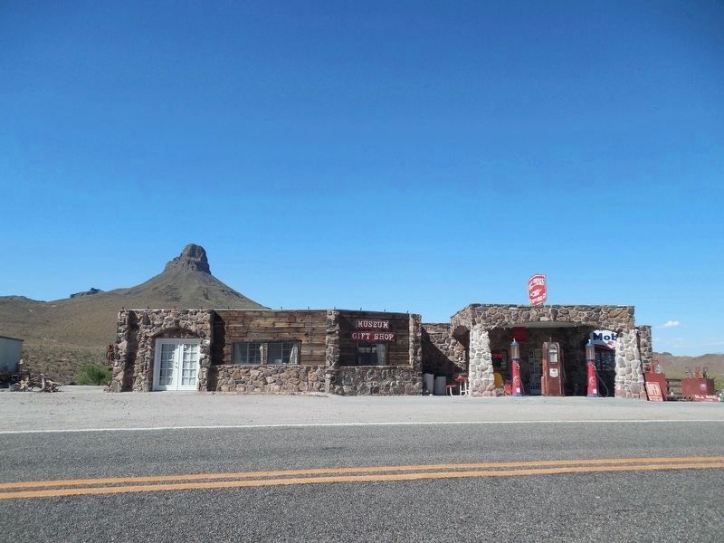
Photographed by Doreen Thomson, May 25, 2017
2. Cool Springs
Credits. This page was last revised on November 19, 2025. It was originally submitted on April 26, 2025, by Jason Voigt of Glen Carbon, Illinois. This page has been viewed 253 times since then and 43 times this year. Photos: 1. submitted on April 26, 2025, by Jason Voigt of Glen Carbon, Illinois. 2. submitted on November 10, 2025, by Doreen Thomson of Calgary, Alberta Canada.
