City Point (South Boston) in Suffolk County, Massachusetts — The American Northeast (New England)
Marine Park
South Boston
Photographed by Conrad Ward, November 17, 2024
1. Marine Park Marker
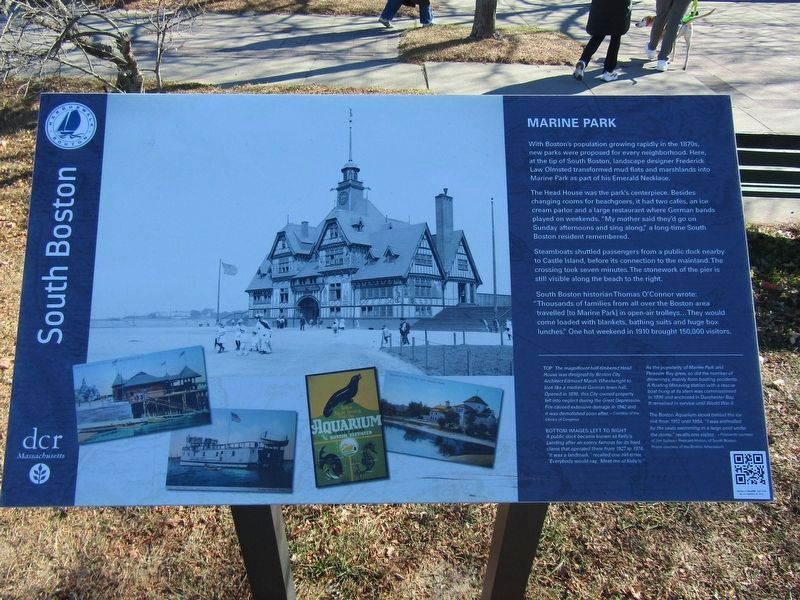
With Boston's population growing rapidly in the 1870s, new parks were proposed for every neighborhood. Here, at the tip of South Boston, landscape designer Frederick Law Olmsted transformed mud flats and marshlands into Marine Park as part of his Emerald Necklace.
The Head House was the park's centerpiece. Besides changing rooms for beachgoers, it had two cafes, an ice cream parlor and a large restaurant where German bands played on weekends. "My mother said they'd go on Sunday afternoons and sing along," a long-time South Boston resident remembered.
Steamboats shuttled passengers from a public dock nearby to Castle Island, before its connection to the mainland. The crossing took seven minutes. The stonework of the pier is still visible along the beach to the right.
South Boston historian Thomas O'Connor wrote: "Thousands of families from all over the Boston area travelled to Marine Park in open-air trolleys... They would come loaded with blankets, bathing suits and huge box lunches." One hot weekend in 1910 brought 150,000 visitors.
(Caption, Top)
The magnificent half-timbered Head House was
this page online
(Caption, bottom images left to right)
A public dock became known as Kelly's Landing after an eatery famous for its friend clams that operated there from 1927 to 1974. "It was a landmark," recalled one old-timer. "Everybody would say, 'Meet me at Kelly's'"
As the popularity of Marine Park and Pleasure Bay grew, so did the number of drownings, mainly from boating accidents. A floating lifesaving station with a rescue boat hung at its stern was commissioned in 1896 and anchored in Dorchester Bay. It remained in service until World War II.
The Boston Aquarium stood behind the ice rink from 1912 until 1954. "I was enthralled by the seals swimming in a large pool under the dome," recalls one visitor. ~Postcards courtesy of Jim Sullivan, Postcard History of South Boston
Poster courtesy of the Boston Athenaeum.
Erected by Boston Harborwalk
Photographed by Conrad Ward, November 17, 2024
2. Marine Park Marker
Topics. This historical marker is listed in these topic lists: Parks & Recreational Areas • Railroads & Streetcars • Waterways & Vessels.
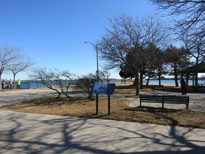
Location. 42° 19.996′ N, 71° 1.359′ W. Marker is in Boston, Massachusetts, in Suffolk County. It is in City Point (South Boston). It is on William J Day Boulevard east of Farragut Road, on the right when traveling east. Located on the Head Island Causeway. Touch for map. Marker is in this post office area: South Boston MA 02127, United States of America. Touch for directions.

Regionally, this marker is in Massachusetts’ Historic Boston. It is also in the American Northeast, in New England, and on the Eastern Seaboard. Globally, it is in the North Atlantic Region, North America, the Western Hemisphere, the Western World, and the Anglosphere. Historically, it finds itself in what was once one of the original Thirteen Colonies.
Other nearby markers. At least 8 other markers are within walking distance of this marker: John E. Powers (within shouting distance of this marker); South Boston World War II Memorial (within shouting distance of this marker); U.S.S. Kearsarge Memorial (within shouting distance of this marker); U.S.S. Kearsarge Memorial Rededication (within shouting distance of this marker); From Paradise to Prison (approx. 0.6 miles away); Creating Pleasure Bay (approx. 0.6 miles away); Bob Greene the Firefighter... (approx. 0.7 miles away); Many Forts, Many Uses (approx. 0.7 miles away). Touch for a list and map of all markers in Boston.
Credits. This page was last revised on May 8, 2025. It was originally submitted on April 26, 2025, by Conrad Ward of Guilford, Connecticut. This page has been viewed 144 times since then and 27 times this year. Photos: 1, 2. submitted on April 26, 2025, by Conrad Ward of Guilford, Connecticut. • Michael Herrick was the editor who published this page.
