Near Moab in Grand County, Utah — The American Mountains (Southwest)
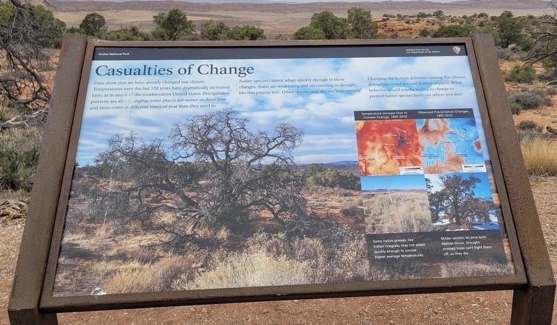
Casualties of Change
Photographed by James Hulse, March 31, 2025
1. Casualties of Change Marker
Native species cannot adapt quickly enough to these changes. Some are weakening and succumbing to drought, like this pinyon tree. Other species may die out here entirely.
Changing the human activities causing this climate disruption could prevent further impacts. What behavior would you be willing to change to protect native species here or where you live?
Captions
(Photo #1) Climate Change, 1895-2016
(Photo #2) Some native grasses, like Indian ricegrass, may not adapt quickly enough to survive higher average temperatures.
(Photo #3) Observed Precipitation Changes.
(Photo #4) Milder winters let pine bark beetles thrive. Drought-stressed trees can't fight them off, so they die.
Erected by Arches National Park, National Park Service Department of the Interior.
Topics. This historical marker is
this page online
Location. 38° 45.528′ N, 109° 35.011′ W. Marker is near Moab, Utah, in Grand County. It is on Arches Scenic Drive 16 miles north of U.S. 191, on the left when traveling north. The marker is located at Arches National Park. Touch for map. Marker is in this post office area: Moab UT 84532, United States of America. Touch for directions.

Regionally, this marker is in Canyon Country. It is also in the American Mountain West, on the Colorado Plateau, and at the Four Corners. Globally, it is in North America, the Western Hemisphere, the Western World, and the Anglosphere. Historically, it finds itself in what was once New Spain and also Mexico’s Alta California.

Other nearby markers. At least 8 other markers are within 7 miles of this marker, measured as the crow flies: Home Sweet Desert (approx. 3.8 miles away); Stories on Stone (approx. 3.8 miles away); Gone but Not Forgotten (approx. 4.1 miles away); Balanced Rock (approx. 4.1 miles away); An Enduring Icon (approx. 4.8 miles away); Double Arch (approx.
Photographed by James Hulse, March 31, 2025
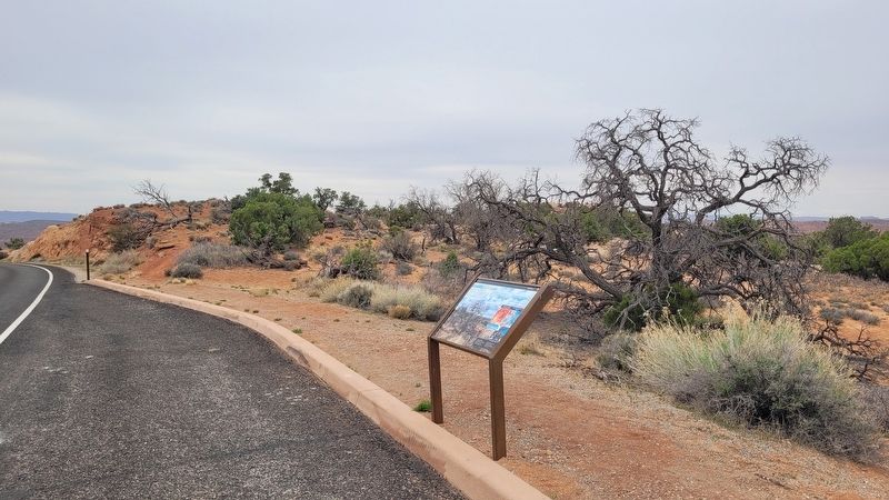
2. The view of the Casualties of Change Marker along the road
Another marker is no longer nearby. Wolfe Ranch (was approx. 3.8 miles away but has been replaced with another marker now near it).
Credits. This page was last revised on April 28, 2025. It was originally submitted on April 28, 2025, by James Hulse of Medina, Texas. This page has been viewed 119 times since then and 17 times this year. Photos: 1, 2. submitted on April 28, 2025, by James Hulse of Medina, Texas.
