Near Moab in Grand County, Utah — The American Mountains (Southwest)
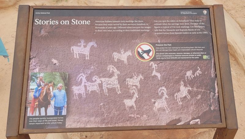
Stories on Stone
Photographed by James Hulse, March 31, 2025
1. Stories on Stone Marker
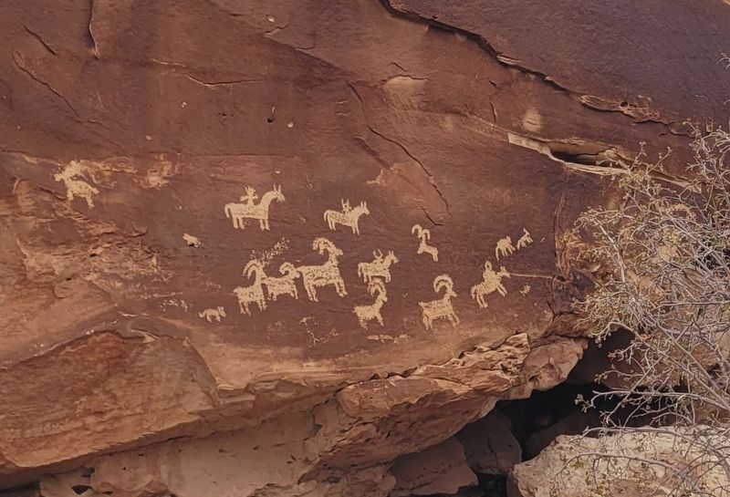
Can you spot the riders on horseback? They help us estimate when the carvings were done. The style of the figures is typical of Ute rock markings. Ute oral history tells that the Mouache and Kapuuta Bands of Ute acquired horses from Spanish traders as early as the 1580s.
Preserve the Past
Help protect the rock markings by not touching them. Oils from your skin will damage these fragile and irreplaceable cultural resources. Any person who excavates, removes, damages, or otherwise alters or defaces archaeological or historical resources located on public lands may be fined $250,000 and imprisoned for five years.
Captions
(Photo #1) Ute peoples quickly incorporated horses into their ways of life and travel. Horses remain important to Ute culture today.
Erected by Arches National Park, National Park Service Department of the Interior.
Topics. This historical marker is listed
this page online
Location. 38° 44.246′ N, 109° 31.116′ W. Marker is near Moab, Utah, in Grand County. It is on Delicate Arch Road 1.2 miles east of Arches National Park Road. The marker is located at the Arches National Park. The petroglyphs are located just off the Rock Markings Panel Trail which is on the main Delicate Arch Trail. Touch for map. Marker is in this post office area: Moab UT 84532, United States of America. Touch for directions.

Regionally, this marker is in Canyon Country. It is also in the American Mountain West, on the Colorado Plateau, and at the Four Corners. Globally, it is in North America, the Western Hemisphere, the Western World, and the Anglosphere. Historically, it finds itself in what was once New Spain and also Mexico’s Alta California.

Other nearby markers. At least 8 other markers are within 7 miles of this marker, measured as the crow flies: Home Sweet Desert (about 600 feet away, measured in a direct line); An Enduring Icon (approx. one mile away); Double Arch (approx. 3½ miles
Photographed by James Hulse, March 31, 2025
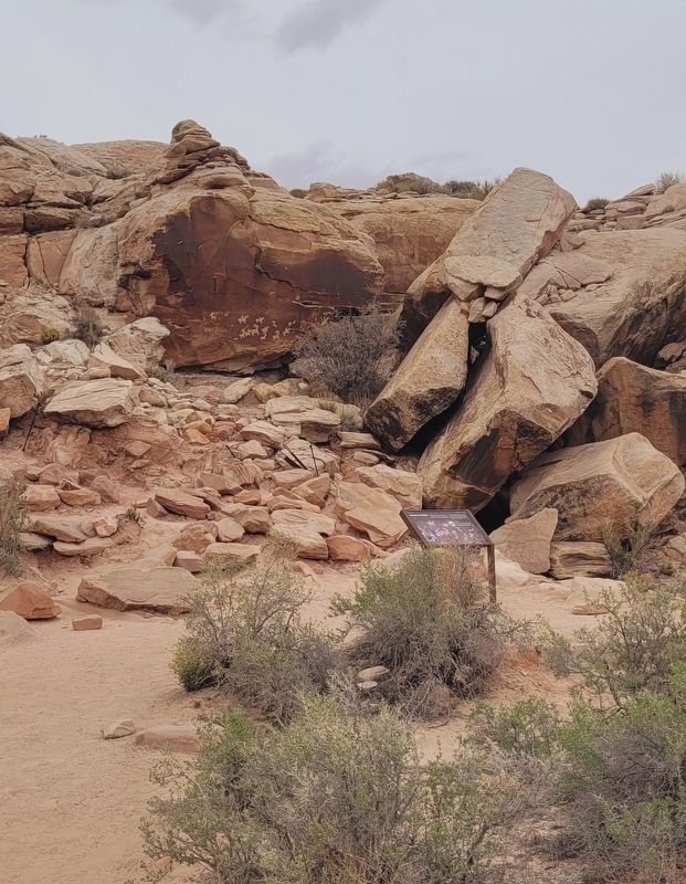
2. The view of the petroglyphs and Marker along the trail
Another marker is no longer nearby. Wolfe Ranch (was about 700 feet away but has been replaced with another marker now near it).
Also see . . . Ute people. Wikipedia
Ute are an Indigenous people of the Great Basin and Colorado Plateau in present-day Utah, western Colorado, and northern New Mexico. Historically, their territory also included parts of Wyoming, eastern Nevada, and Arizona.(Submitted on May 1, 2025, by James Hulse of Medina, Texas.)
Photographed by James Hulse, March 31, 2025
3. Closeup of the petroglyphs
Credits. This page was last revised on May 1, 2025. It was originally submitted on April 29, 2025, by James Hulse of Medina, Texas. This page has been viewed 193 times since then and 43 times this year. Photos: 1, 2, 3. submitted on May 1, 2025, by James Hulse of Medina, Texas.
