Blind River in Algoma District, Ontario — Central Canada (North America)
Blind River
Historic Site Historique
Photographed by Cosmos Mariner, June 9, 2024
1. Blind River Marker
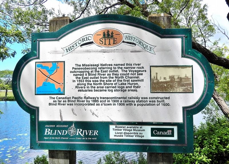
The Mississagi Natives named this river Penewobecong referring to the narrow rock outcropping at the East outlet. The Voyageurs named it Blind River as they could not see the East outlet from the North Channel. In 1853 this was the site of the first sawmill along the North Shore of Lake Huron. Rivers in the area carried logs and their estuaries became log storage areas.
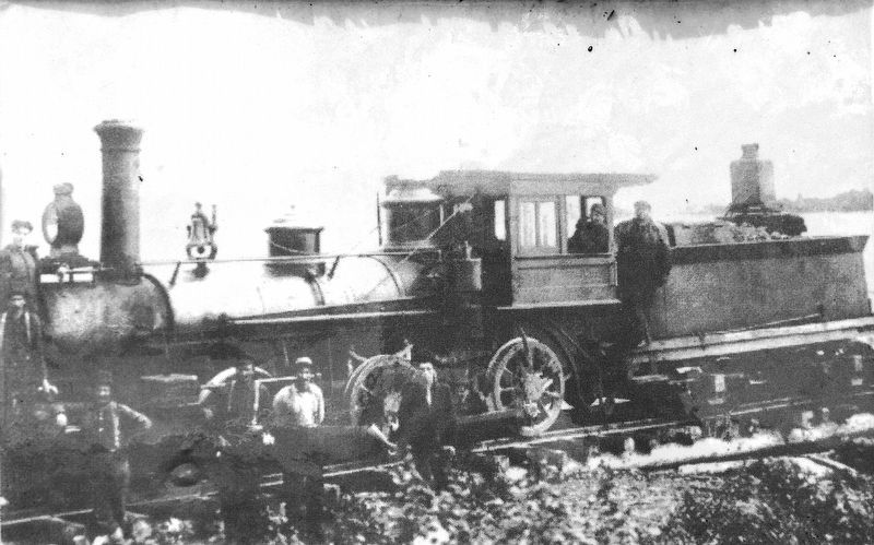
The Canadian Pacific Railway’s transcontinental railway was constructed as far as Blind River by 1885 and in 1900 a railway station was built. Blind River was incorporated as a town in 1906 with a population of 1600.
Discover Blind River
Heart of the North Channel
Booklet available at Timber Village Museum
• • •
Découvrez Blind River
Cœur du la rive Nord
Livret disponible au musée Timber Village
Topics. This historical marker is listed in these topic lists: Indigenous Peoples and Communities • Industry & Commerce • Railroads & Streetcars • Waterways & Vessels. A significant historical year for this entry is 1853.
Location. 46° 11.174′ N, 82° 57.312′ W. Marker is in Blind River, Ontario, in Algoma District. It is on Provencher Lane just north of Causley
this page online

Regionally, this marker is in the Sault Ste. Marie and Algoma Area and in Northern Ontario. It is also in Central Canada. Globally, it is in North America, in the Great North Woods, on the Great Lakes, on Lake Superior’s North Shore, in the Western Hemisphere, in the Western World, and in the Anglosphere. Historically, it finds itself in what was once a British colony, the Viceroyalty of New France, the Haudenosaunee (Iroquois) Confederacy, and Rupert’s Land.
Also see . . . Blind River, Ontario (Wikipedia).
Excerpt: French explorers discovered the North Channel and made it a renowned voyageur route. Fur traders, loggers and miners followed to seek natural resources. The logging industry developed because of the accessibility of timber along the Blind River and Mississagi watersheds. The industry was spurred by a copper discovery in the mid-19th century in Bruce Mines. The first sawmill was built beside the(Submitted on May 4, 2025, by Cosmos Mariner of Cape Canaveral, Florida.)mouth of the Blind River at the current site of the Old Mill Motel. The protected estuary of the east arm of the Blind River as well as the deep water offshore offered a good location for the mill. The sawmill provided timber and planks for the copper mine. The Canadian Pacific Railway arrived in Blind River in 1888 when its Algoma Branch was extended westward from Algoma Mills to Sault Ste. Marie.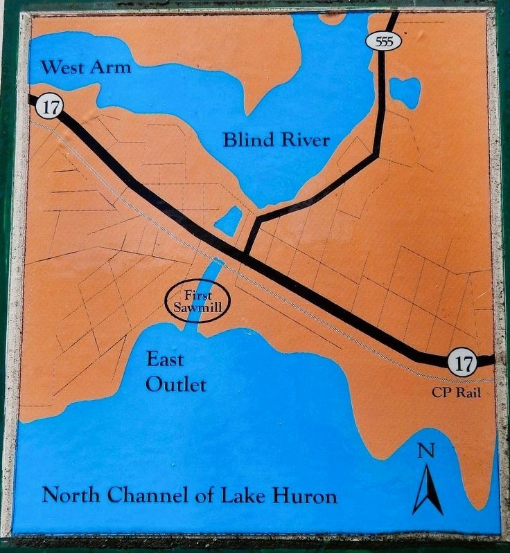 2. Marker detail: North Channel Lake Huron Map
3. Marker detail: Steam Locomotive
Photographed by Cosmos Mariner, June 9, 2024
4. Blind River Marker
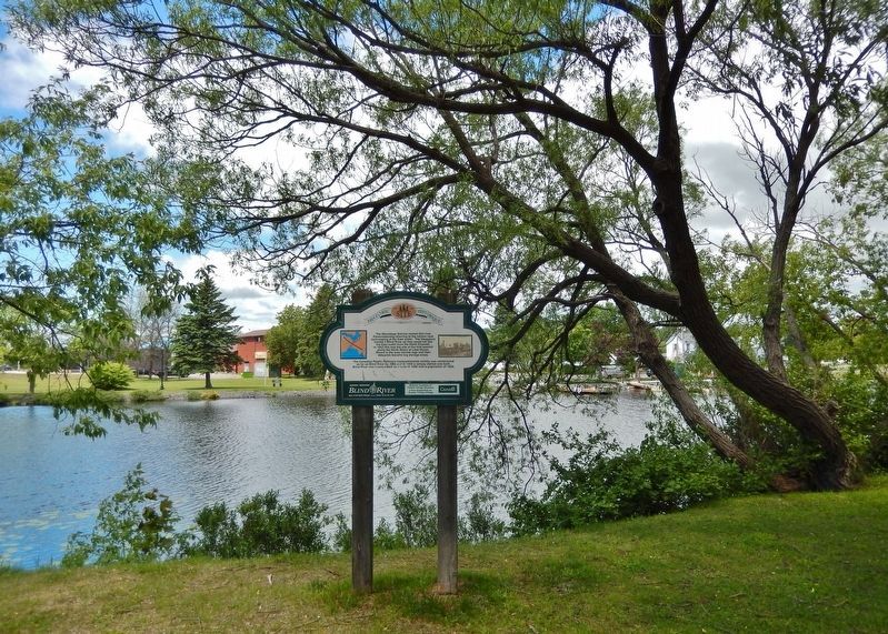
Looking northwest from Provencher Lane; the North Channel of Lake Huron is in the background.
Credits. This page was last revised on May 4, 2025. It was originally submitted on April 29, 2025, by Cosmos Mariner of Cape Canaveral, Florida. This page has been viewed 203 times since then and 60 times this year. Photos: 1, 2, 3, 4. submitted on May 4, 2025, by Cosmos Mariner of Cape Canaveral, Florida.
