Near Wilmington in New Castle County, Delaware — The American Northeast (Mid-Atlantic)
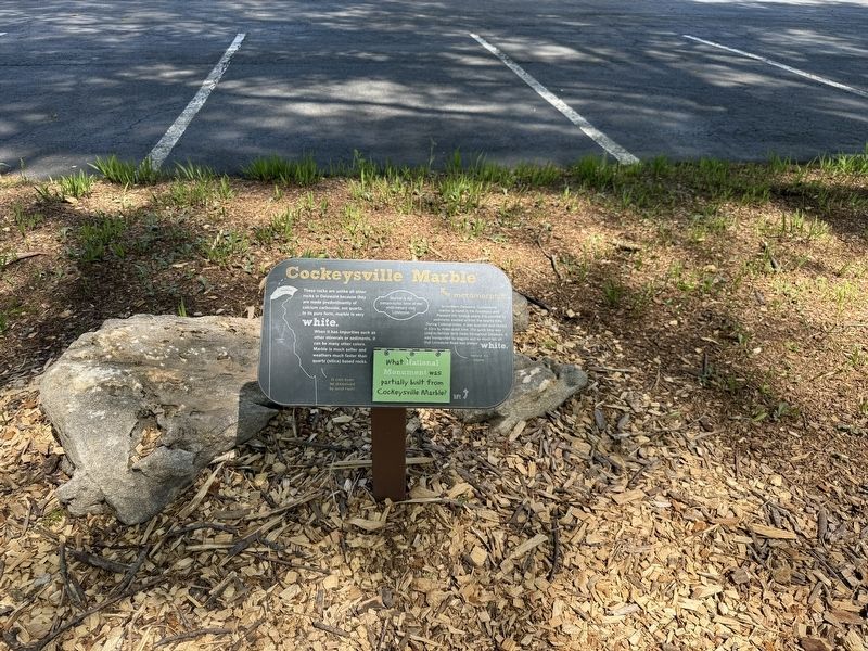
Cockeysville Marble
metamorphic
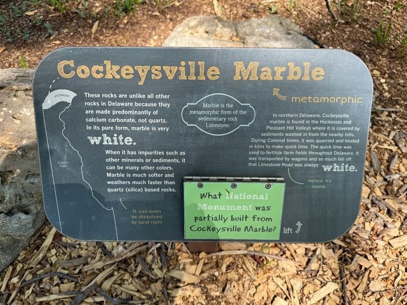
Marble is the metamorphic form of the sedimentary rock Limestone.
These rocks are unlike all other rocks in Delaware because they are made predominantly of calcium carbonate, not quartz. In its pure form, marble is very white.
When it has impurities such as other minerals or sediments, t can be many other colors. Marble is much softer and weathers much faster than quartz (silica) based rocks.
It can even be dissolved by acid rain!
In northern Delaware, Cockeysville marble is found in the Hockessin and Pleasant Hill Valleys where it is covered by sediments washed in from the nearby hills. During Colonial times, it was quarried and heated in kilns to make quick lime. The quick lime was used to fertilize farm fields throughout Delaware. It was transported by wagons and so much fell off that Limestone Road was always white.
Hence its name.
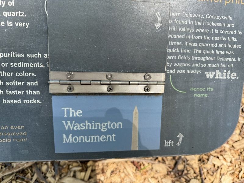
What National Monument was partially built from Cockeysville Marble?
The Washington Monument
Erected by Delaware Museum of Nature & Science.
Topics. This historical marker is listed in these topic lists: Colonial Era • Industry & Commerce • Natural Features
this page online
Location. 39° 47.954′ N, 75° 36.585′ W. Marker is near Wilmington, Delaware, in New Castle County. It is on Kennett Pike (Delaware Route 52) north of Old Gatehouse Road, on the right when traveling south. Touch for map. Marker is at or near this postal address: 4840 Kennett Pike, Wilmington DE 19807, United States of America. Touch for directions.

Regionally, this marker is in Greater Philadelphia. It is also in the American Mid-Atlantic, on the Delmarva Peninsula, and on the Eastern Seaboard. Globally, it is in the North Atlantic Region, North America, the Western Hemisphere, the Western World, and the Anglosphere. Historically, it finds itself in what was once New Netherland and also one of the original Thirteen Colonies.
Other nearby markers. At least 8 other markers are within walking distance of this marker: Iron Hill Iron Ore and Chert (here, next to this marker); Gabbro (a few steps from this marker); Pegmatite (a few steps from this marker); Brandywine Blue Gneiss and Barley Mill Gneiss (a few steps from this marker); Sillimanite (a few steps
Credits. This page was last revised on April 30, 2025. It was originally submitted on April 30, 2025, by Devry Becker Jones of Washington, District of Columbia. This page has been viewed 130 times since then and 31 times this year. Photos: 1, 2, 3. submitted on April 30, 2025, by Devry Becker Jones of Washington, District of Columbia.
