Penn Township near Jeannette in Westmoreland County, Pennsylvania — The American Northeast (Mid-Atlantic)
The Iroquois Nature Trail
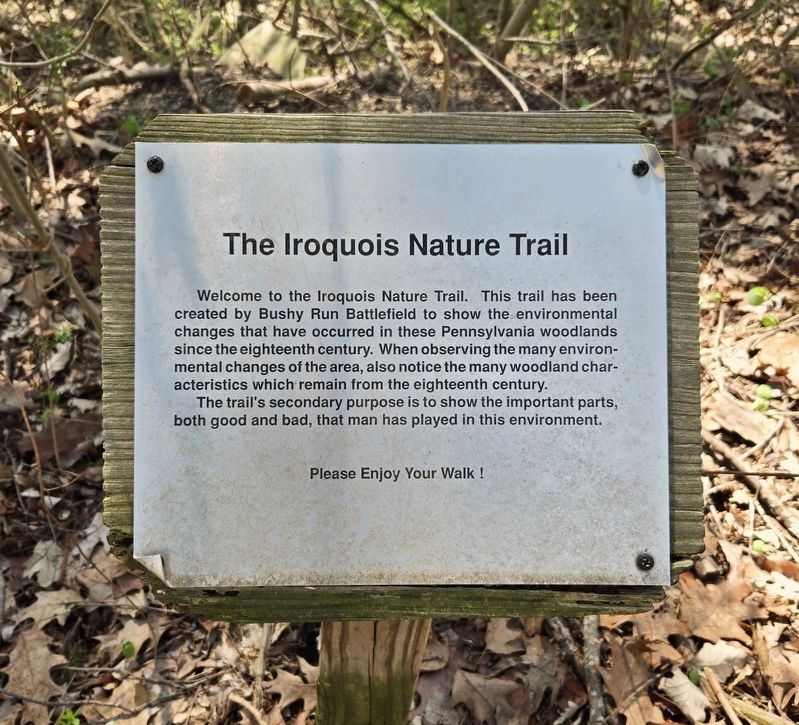
Photographed by Bradley Owen, April 9, 2025
1. The Iroquois Nature Trail Marker
Welcome to the Iroquois Nature Trail. This trail has been created by Bushy Run Battlefield to show the environmental changes that have occurred in these Pennsylvania woodlands since the eighteenth century. When observing the many environmental changes of the area, also notice the many woodland characteristics which remain from the eighteenth century.
The trail's secondary purpose is to show the important parts, both good and bad, that man has played in this environment.
Erected by The Bushy Run Battlefield Heritage Society, Inc.
Topics. This historical marker is listed in these topic lists: Environment • Horticulture & Forestry • Parks & Recreational Areas.
Location. 40° 21.499′ N, 79° 37.509′ W. Marker is near Jeannette, Pennsylvania, in Westmoreland County. It is in Penn Township. It can be reached from Bushy Run Road (Pennsylvania Route 993) 0.6 miles east of Gongaware Road, on the left when traveling east. Marker is located on the grounds of Bushy Run Battlefield. Touch for map. Marker is at or near this postal address:
this page online

Regionally, this marker is in the Laurel Highlands and in Greater Pittsburgh. It is also in the American Northeast, in the Mid-Atlantic, in Appalachia, and specifically in Northern Appalachia. Globally, it is in North America, the Western Hemisphere, the Western World, and the Anglosphere. Historically, it finds itself in what was once the Viceroyalty of New France, the Haudenosaunee (Iroquois) Confederacy, and one of the original Thirteen Colonies.
Other nearby markers. At least 8 other markers are within walking distance of this marker: Pontiac's War (within shouting distance of this marker); Andrew Byerly's Spring (within shouting distance of this marker); C. Martin Bomberger (within shouting distance of this marker); The Central Fire (within shouting distance of this marker); Welcome to Bushy Run Battlefield (about 400 feet away, measured in a direct line); Ambushed (about 700 feet away); Bushy Run Battlefield (approx. 0.2 miles away); After The Battle (approx. 0.2 miles away). Touch for a list and map of all markers in Jeannette.
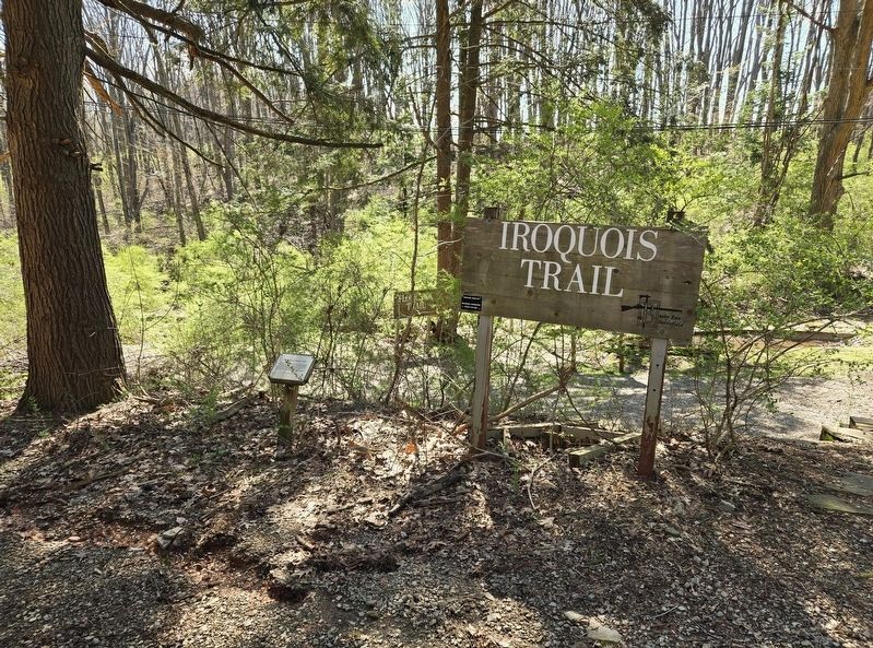
Photographed by Bradley Owen, April 9, 2025
2. The Iroquois Nature Trail Marker
Credits. This page was last revised on April 30, 2025. It was originally submitted on April 30, 2025, by Bradley Owen of Morgantown, West Virginia. This page has been viewed 118 times since then and 19 times this year. Photos: 1, 2. submitted on April 30, 2025, by Bradley Owen of Morgantown, West Virginia.
