
Weston in Broward County, Florida — The American South (South Atlantic)
FDOT Mitigation Mission
Photographed by Brandon D Cross
1. FDOT Mitigation Mission Marker
Mitigation Means …
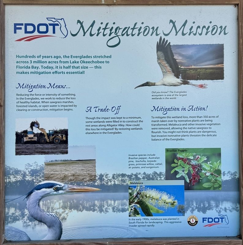
Reducing the force or intensity of something. In the Everglades, we work to reduce the loss of healthy habitat. When sawgrass marshes, forested islands, or open water is impacted by clearing or construction, mitigation begins.
A Trade-Off
Though the impact was kept to a minimum, some wetlands were filled in to construct the rest areas along Alligator Alley. How could this loss be mitigated? By restoring wetlands elsewhere in the Everglades.
Mitigation in Action
To mitigate this wetland loss, more than 350 acres of marsh taken over by nonnative plants are being transformed. Melaleuca and other invasive vegetation were removed, allowing the native sawgrass to flourish. You might not think plants are dangerous, but invasive nonnative plants threaten the delicate balance of the Everglades.
(captions)
Did you know? The everglades ecosystem is one of the largest wetlands in the world.
Brazilian Pepper — Invasive species include Brazilian pepper, Australian pine, bischofia, torpedo grass, primrose willow, cattail, air potato, and sungonium.
Melaleuca — In the early 1900s, melaleuca was planted in South Florida for landscaping. This aggressive invader spread rapidly.
Erected by Florida
this page online
Topics. This historical marker is listed in these topic lists: Environment • Horticulture & Forestry • Natural Features. A significant historical year for this entry is 1900.
Location. 26° 8.731′ N, 80° 37.672′ W. Marker is in Weston, Florida, in Broward County. It can be reached from the intersection of U.S. I-75 at milepost 35, and U.S. 27, on the right when traveling west. The marker is located at Alligator Alley eastbound Visitors Rest Area at mile post 35. Touch for map. Marker is in this post office area: Fort Lauderdale FL 33327, United States of America. Touch for directions.

Regionally, this marker is in South Florida, on the Gold Coast, and in Greater Miami. It is also in the American South and on the Eastern Seaboard. Globally, it is in the North Atlantic Region, North America, a Gulf of Mexico state, the Western Hemisphere, the Western World, and the Anglosphere. Historically, it finds itself in what was once New Spain, the territory of the Mississippian Culture, one of the Confederate States of America, and the Antebellum South.
Other nearby markers. At least one other

Photographed by Brandon D Cross
2. FDOT Mitigation Mission Marker
Also see . . . Alligator Alley. Visit Everglades City website entry (Submitted on May 10, 2025, by Larry Gertner of New York, New York.)
Credits. This page was last revised on May 10, 2025. It was originally submitted on May 3, 2025, by Brandon D Cross of Flagler Beach, Florida. This page has been viewed 156 times since then and 15 times this year. Photos: 1. submitted on May 3, 2025, by Brandon D Cross of Flagler Beach, Florida. 2. submitted on May 4, 2025, by Brandon D Cross of Flagler Beach, Florida. • J. J. Prats was the editor who published this page.
