
Northside in Ann Arbor in Washtenaw County, Michigan — The American Midwest (Great Lakes)
Lower Town Parks, Recreation, and Trails
Photographed by J.T. Lambrou, September 10, 2021
1. Lower Town Parks, Recreation, and Trails Marker
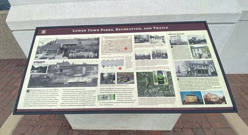
Green Open Space, paths, trails, and recreational activities have always been a part of Lower Town life. In the 19th century the Huron River, nearby farms, orchards, hills, forests, creeks, and open roads were only a short walk away from what are now historic homes. The Huron River shaped an experience of dams, millrace activity, parks, ponds, walking trails, boating, fishing, and swimming. One could live and play in Lower Town with a sense being separate - oblivious to urban growth up the hill on the south side of the river.
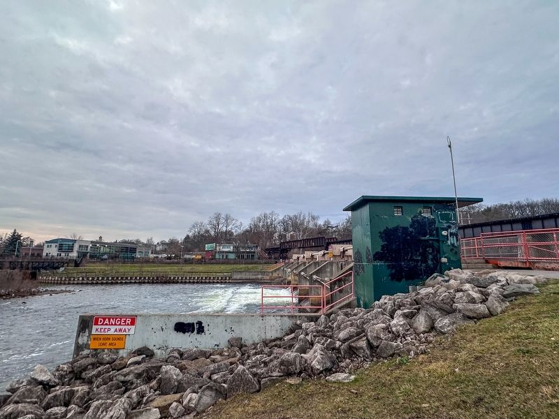
In 1914 the Edison Company, as a part of its rebuilding of the Argo Dam, laid out a public bathing beach on the east side of the pond, above the headache to the new Argo Power Substation. The city paid for operation of the bathing beach until it bought the popular facility in 1938.
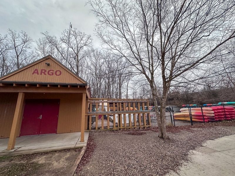
In 1916, after the new dam was finished and the pond refilled, the old canoe livery was moved directly across the pond, remodeled and enlarged. Operated as Saunders until the 1950s and then as Wirth's Canoe Livery around 1960, the interior was famous for its collection of coin-operated orchestrions, melodeons, and
this page online
Erected 2014 by University of Michigan.
Topics. This historical marker is listed in these topic lists: Parks & Recreational Areas • Waterways & Vessels. A significant historical year for this entry is 1914.
Location. 42° 17.289′ N, 83° 44.137′ W. Marker is in Ann Arbor, Michigan, in Washtenaw County. It is in Northside. It can be reached from Wall Street near Canal Street, on the right when traveling west. Touch for map. Marker is at or near this postal address: 1025 Wall Street, Ann Arbor MI 48105, United States of America. Touch for directions.

Regionally, this marker is in Southeast Michigan and in Greater Detroit. It is also in the American Midwest. Globally, it is in North America, the Western Hemisphere, the Western World, and the Anglosphere. Historically, it finds itself in what was once the Northwest Territory.
Other nearby markers. At least 8 other markers are within walking distance of this marker: Transportation, Electric Power, and Gas
Photographed by J.T. Lambrou, September 10, 2021
2. Lower Town Parks, Recreation, and Trails Marker
Photographed by J.T. Lambrou, December 27, 2024
3. Argo Park Canoe Livery
Photographed by J.T. Lambrou, December 27, 2024
4. Argo Dam
Credits. This page was last revised on May 15, 2025. It was originally submitted on May 3, 2025, by J.T. Lambrou of New Boston, Michigan. This page has been viewed 179 times since then and 15 times this year. Photos: 1, 2, 3, 4. submitted on May 3, 2025, by J.T. Lambrou of New Boston, Michigan. • Devry Becker Jones was the editor who published this page.
