Bicknell in Wayne County, Utah — The American Mountains (Southwest)
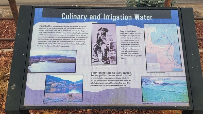
Culinary and Irrigation Water
Photographed by James Hulse, April 4, 2025
1. Culinary and Irrigation Water Marker
In 1889. "for nine horses, five hundred pounds of flour, one good beef steer and one suit of clothes", the Fremont Irrigation Company purchased the water rights to Fish Lake from the Paiute Indians. Additional irrigation water capacity was added by building dams creating Johnson Valley Reservoir in 1899. Forsyth
this page online
Several canals were constructed to divert river water for irrigation, including the Tub Ditch and Spring Ditch for the first Thurber town, and a central canal from the Fremont River to Lyman. Bicknell residents worked for seven years, mostly during the winters when not ranching, to finish the canal from Lyman to Birknell. Because the ground was frozen in the winters, they built fires to thaw the ground for digging.
Captions
(Photo #1) Fremont River
(Photo #2) Fish Lake
(Photo #3) "Tom", a Paiute Indian who lived to be 112 years old, had his name on the deed selling Fish Lake to the Mormon settlers.
(Photo #4) Fremont Irrigation Water Sources used by Bicknell
(Photo #5) Today's sprinkling systems
Erected 2020 by Bicknell Town.
Topics. This historical marker is listed in these topic lists: Agriculture • Settlements & Settlers • Waterways & Vessels. A significant historical year for this entry is 1992.
Location. 38° 20.45′ N, 111° 33.081′ W. Marker is in Bicknell, Utah, in Wayne County. It is at the intersection of West Main Street (Utah Route 24) and S 400
Photographed by James Hulse, April 4, 2025
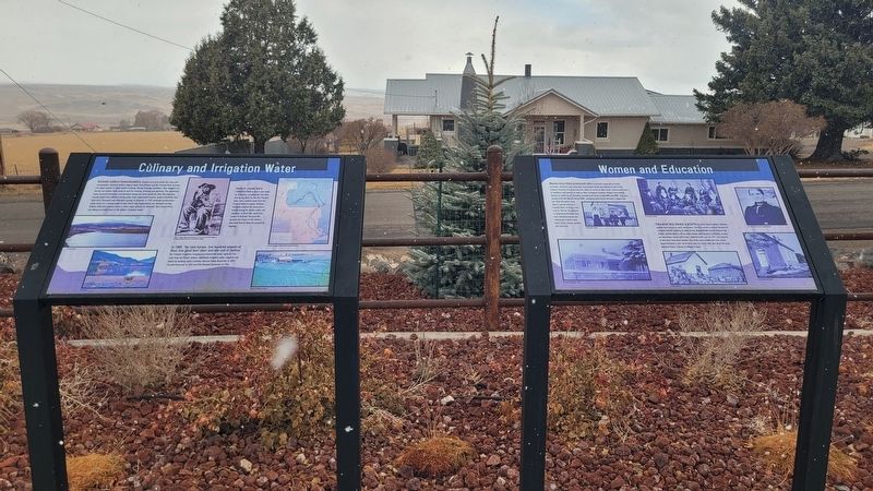
2. Culinary and Irrigation Water Marker (left side)

Regionally, this marker is in Canyon Country. It is also in the American Mountain West, on the Colorado Plateau, and at the Four Corners. Globally, it is in North America, the Western Hemisphere, the Western World, and the Anglosphere. Historically, it finds itself in what was once New Spain and also Mexico’s Alta California.

Other nearby markers. At least 8 other markers are within walking distance of this marker: Women and Education (here, next to this marker); Downwinders (here, next to this marker); Major Bicknell Livelihoods (here, next to this marker); Mountain Setting and Early Native Americans (here, next to this marker); Bicknell Veterans Memorial (here, next to this marker); Bicknell Town History (a few steps from this marker); Early LDS Church Influence and A.K. Thurber (a few steps from this marker); Early Roads and Wagons (a few steps from this
Photographed by James Hulse, April 4, 2025
3. Culinary and Irrigation Water Marker
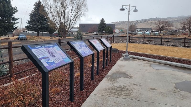
The marker is the left marker of the group.
Credits. This page was last revised on May 5, 2025. It was originally submitted on May 4, 2025, by James Hulse of Medina, Texas. This page has been viewed 111 times since then and 14 times this year. Photos: 1, 2, 3. submitted on May 4, 2025, by James Hulse of Medina, Texas.
