
Near McConnells in York County, South Carolina — The American South (South Atlantic)
Rocky Mount Road
Photographed by Mark Parker, May 3, 2025
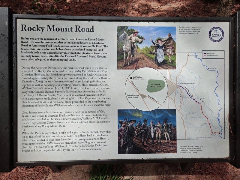
1. Rocky Mount Road Marker
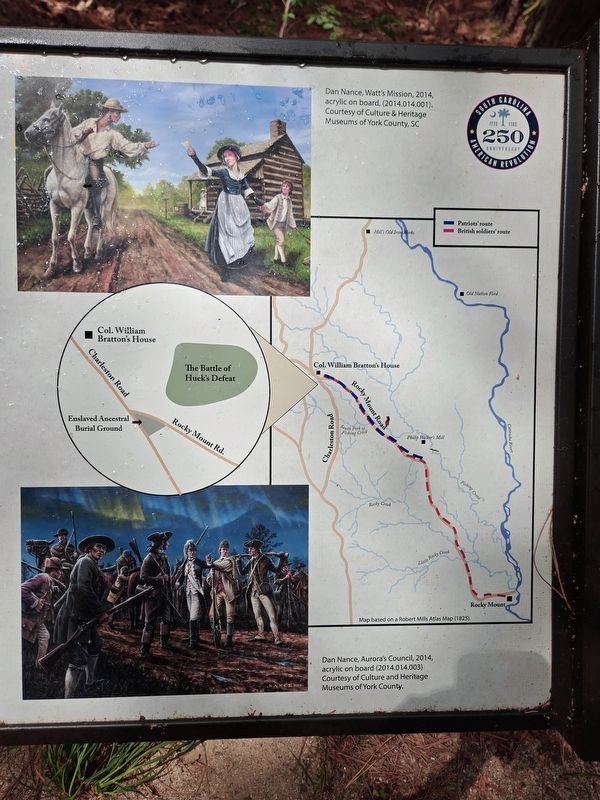
Before you are the remains of a colonial road known as Rocky Mount Road. This road intersects another colonial road known as Charleston Road or Armstrong Ford Road, known today as Brattonsville Road. The land at this intersection would have been considered "marginal land" - land with little or no agricultural value which the planter or farmer was unlikely to use. Burial sites like the Enslaved Ancestral Burial Ground were often relegated to these marginal lands.
During the American Revolution, this road stretched south to the British stronghold at Rocky Mount located in present-day Fairfield County. Capt. Christian Huck and his British troops was stationed at Rocky Mount and traveled approximately thirty miles northwest along this road to the Bratton Plantation. Along the way they made several stops, foraging for food and supplies as well as harassing and arresting Patriots. Huck arrived at Colonel William Bratton's house on July 11, 1780 in search of Col. Bratton, who was away with General Thomas Sumter's Patriot militia. According to family tradition, Col. Bratton's wife, Martha sent an enslaved man named Watt with
this page online
Gen. Sumter sent a detachment of Patriots under the command of Col. Bratton and others to overtake Huck and his men. Accounts indicate that the Patriots traveled to Huck's last known location, Walker's Mill, located in present-day Chester County. From there, they shadowed Huck's movements northwest along Rocky Mount Road.
When the Patriots got within "a mile and a quarter" of the British, they "filed off to the left of the road and dismounted." The officers held a consultation where they decided to split their forces into two groups and attack Huck from opposite sides of Williamson's plantation. According to an account given by Col. Bratton's son, William, Jr., "the battle [of Huck's Defeat] was fought and won [on July 12, 1780] by the light of an aurora borealis."
(captions)
Dan Nance, Watt's Mission, 2014, acrylic on board (2014.014.0011). Courtesy of Culture & Heritage Museums of York County, SC
Dan Nance, Aurora's Council 2014, acrylic on board (2014.014.003) Courtesy of Culture and Museum of York County.
Map based on a Robert Mills Atlas Map (1825)
Erected 2025
Photographed by Mark Parker, May 3, 2025
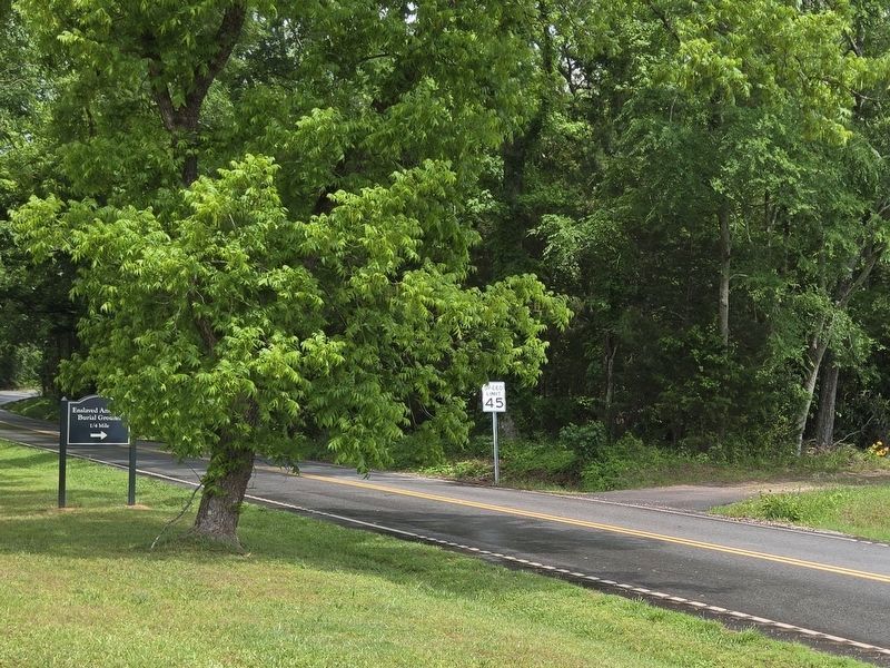
2. Enslaved Ancestral Burial Ground sign (left) and pathway entrance
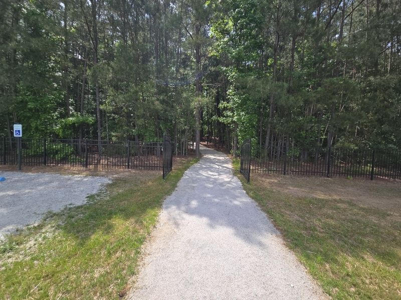
Take the path 1/4 mile to a parking lot. The marker is along a gravel path in the woods near the lot.
Topics. This historical marker is listed in these topic lists: Colonial Era • Roads & Vehicles • War, US Revolutionary. A significant historical date for this entry is July 11, 1780.
Location. 34° 51.594′ N, 81° 10.492′ W. Marker is near McConnells, South Carolina, in York County. It can be reached from Percival Road (State Road 46-380) east of Brattonsville Road (State Route 165), on the right when traveling east. The marker is near the Enslaved Ancestral Burial Ground. Access to the burial grounds is available only from Percival Road. From the entrance sign, take the dirt path approximately 1/4 mile to the parking lot. The marker is a long a gravel path, a short distance from the lot. Touch for map. Marker is at or near this postal address: 1444 Brattonsville Rd, Mc Connells SC 29726, United States of America. Touch for directions.

Regionally, this marker is in the Midlands and in the Olde English District. It is also in the American South and specifically in the Deep South. Globally, it is in North America, the Western Hemisphere, the Western World, and the Anglosphere.
Photographed by Mark Parker, May 3, 2025
3. Rocky Mount Road Marker is along this path in the woods. Parking lot is to the left
Other nearby markers. At least 8 other markers are within walking distance of this marker: Enslaved Ancestral Burial Ground (within shouting distance of this marker); Brick House / Lynching of Jim Williams (approx. 0.3 miles away); A House of Untold Stories (approx. 0.3 miles away); The Brattonsville Store (approx. 0.3 miles away); Brattonsville (approx. 0.3 miles away); a different marker also named Brick Kitchen (approx. 0.4 miles away); Slave Cabin (approx. 0.4 miles away); a different marker also named Battle of Huck's Defeat (approx. 0.4 miles away). Touch for a list and map of all markers in McConnells.
Other markers no longer nearby. The Homestead (was approx. 0.3 miles away but has been replaced with another marker now near it); Brick Kitchen (was approx. 0.4 miles away but has been replaced with another marker now near it); The Battle of Huck’s Defeat (was approx. 0.4 miles away but
Photographed by Mark Parker, May 3, 2025
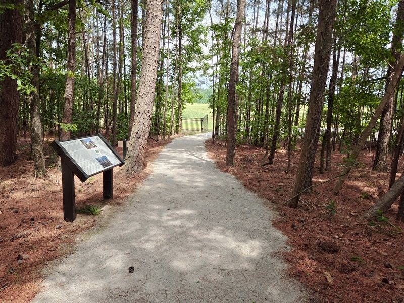
4. Rocky Mount Road Marker looking towards the entrance from the parking lot
More about this marker. The marker and adjacent burial ground are part of the Historic Brattonsville state site
Also see . . . Historic Brattonsville. Culture & Heritage Museums (Submitted on May 11, 2025.)
Photographed by Mark Parker, May 3, 2025
5. Closeup of the map and artwork on the marker
Credits. This page was last revised on May 11, 2025. It was originally submitted on May 4, 2025, by Mark Parker of Hickory, North Carolina. This page has been viewed 173 times since then and 31 times this year. Photos: 1, 2, 3, 4, 5. submitted on May 4, 2025, by Mark Parker of Hickory, North Carolina. • Bernard Fisher was the editor who published this page.
