Newark in Licking County, Ohio — The American Midwest (Great Lakes)
The Octagon
Photographed by Dale K. Benington, June 11, 2022
1. The Octagon Marker
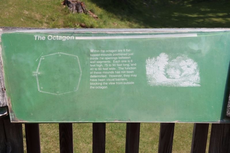
View of the marker situated at the top of the observation platform.
Erected by Ohio Historical Society.
Topics. This historical marker is listed in these topic lists: Anthropology & Archaeology • Indigenous Peoples and Communities.
Location. Marker has been permanently removed. It was located near 40° 3.191′ N, 82° 26.786′ W. Marker was in Newark, Ohio, in Licking County. It was on North 33rd Street near Parkview Road. This marker is located at the Moundbuilders Country Club, on a raised wooden observation platform, that is situated between the parking lot on the north side of the Moundbuilders Country Club, and the earthworks of the Octagon Mound complex. Touch for map. Marker was at or near this postal address: 125 N 33rd St, Newark OH 43055, United States of America.
We have been informed that this marker is no
this page online
Regionally, this marker was in the Columbus Metropolitan Area. It was also in the American Midwest, in the Corn Belt, in Appalachia, and specifically in Northern Appalachia. Globally, it was in North America, the Western Hemisphere, the Western World, and the Anglosphere. Historically, it found itself in what was once the Haudenosaunee (Iroquois) Confederacy, the territory of the Mississippian Culture, and the Northwest Territory.

Other nearby markers. At least 8 other markers are within walking distance of this location: History of the Site (here, next to this marker); The Earthworks (here, next to this marker); The Builders (here, next to this marker); a different marker also named History of the Site (here, next to this marker); Astronomical Alignments (here, next to this marker); a different marker also named The Builders (here, next to this marker); Experience Ancient Brilliance (here, next to this marker); Chief Glenna J. Wallace (here, next to this marker). Touch for a list and map of all markers in Newark.
Other markers no longer
Photographed by Dale K. Benington, June 11, 2022
2. The Octagon Marker
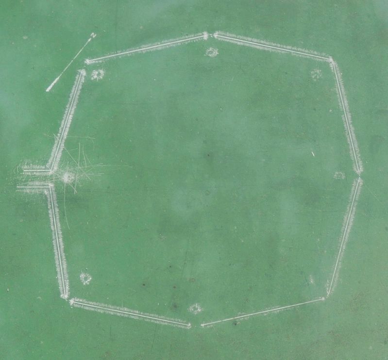
Close-up view of the diagram depicting overhead view of Octagon Earthwork that is featured on this marker.
Photographed by Dale K. Benington, June 11, 2022
3. The Octagon Marker
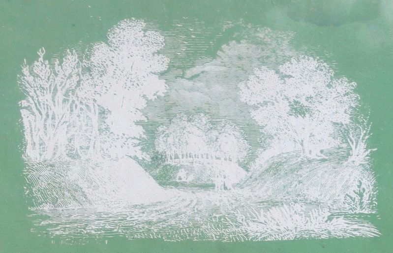
Close-up view of the illustration depicted on the featured marker. The illustration is that of one of the mounds situated in one of the Octagon Earthworks openings.
Photographed by Dale K. Benington, June 11, 2022
4. The Octagon Marker
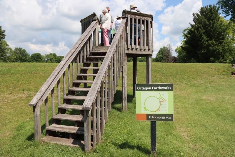
View of the observation platform that the marker is situated on. Note the Moundbuilders earthwork that is situated along the base of the observation platform.
Photographed by Dale K. Benington, June 11, 2022
5. The Octagon Marker
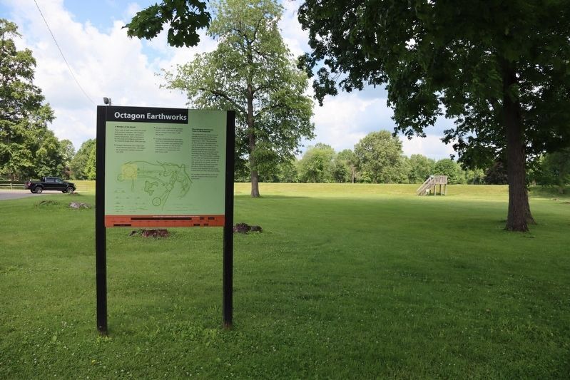
View of the Octagon Earthworks marker in the foreground, with a distant view of the observation platform, that this marker is located on, in the background.
Photographed by Dale K. Benington, June 11, 2022
6. The Octagon Marker
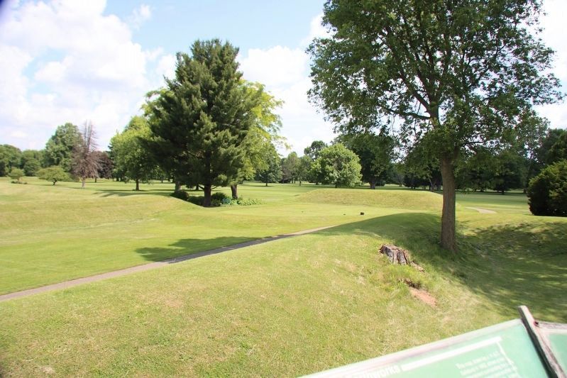
View of the landscape, and the Octagon Earthworks, as seen from the top of the observation platform.
Credits. This page was last revised on May 7, 2025. It was originally submitted on June 16, 2022, by Dale K. Benington of Toledo, Ohio. This page has been viewed 485 times since then and 16 times this year. Last updated on May 7, 2025, by Craig Doda of Napoleon, Ohio. Photos: 1, 2, 3, 4, 5, 6. submitted on June 16, 2022, by Dale K. Benington of Toledo, Ohio. • Devry Becker Jones was the editor who published this page.
