Newark in Licking County, Ohio — The American Midwest (Great Lakes)
The Newark Earthworks
Photographed by Dale K. Benington, June 11, 2022
1. The Newark Earthworks Marker
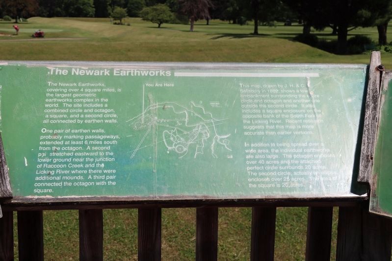
View of the marker situated at the top of the observation platform.
The Newark Earthworks, covering over 4 squire miles, is the largest geometric earthworks complex in the world. The site includes a combined circle and octagon, a square, and a second circle, all connected by earthen walls.
One pair of earthen walls, probably marking passageways, extend at least 6 miles south from the octagon. A second pair stretched eastward to the lower ground near the junction of Raccoon Creek and the Licking River where there were additional mounds. A third pair connected the octagon with the square.
This map, drawn by J.H. & C. Salisbury in 1862, shows a low embankment surrounding the entire circle and octagon and another one outside the second circle. It also includes a square enclosure on the opposite bank of the South Fork of the Licking River. Recent research suggests that this map is more accurate than earlier versions.
In addition to being spread over a wide area, the individual earthworks are slap large. The octagon encloses over 40 acres and the attached perfect circle surrounds 20 acres. The second circle, actually an ellipse, encloses over 25 acres. The area of the square is 20
this page online
Erected by Ohio Historical Society.
Topics. This historical marker is listed in these topic lists: Anthropology & Archaeology • Indigenous Peoples and Communities • Religion & Religious Structures. A significant historical year for this entry is 1862.
Location. Marker has been permanently removed. It was located near 40° 3.191′ N, 82° 26.787′ W. Marker was in Newark, Ohio, in Licking County. It was on N 33rd Street near Parkview Road. This marker is located at the Moundbuilders Country Club, on a raised wooden observation platform, that is situated between the parking lot on the north side of the Moundbuilders Country Club, and the earthworks of the Octagon Mound complex. Touch for map. Marker was at or near this postal address: 125 N 33rd Street, Newark OH 43055, United States of America.
We have been informed that this marker is no longer there and will not be replaced. This page is an archival view of what was.
Regionally, this marker was in the Columbus Metropolitan Area. It was also in the American Midwest, in the Corn Belt, in Appalachia, and specifically in Northern Appalachia. Globally, it was in North

Photographed by Dale K. Benington, June 11, 2022
2. The Newark Earthworks Marker
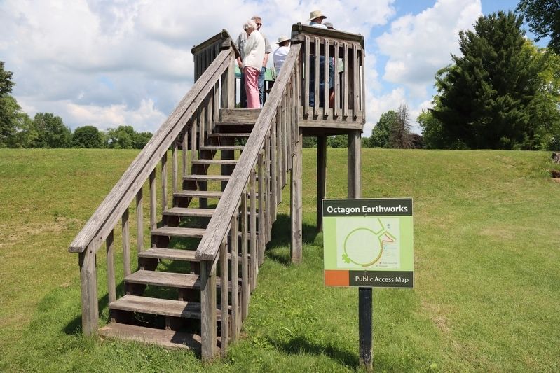
View of the observation platform that the marker is situated on. Note the Moundbuilders earthwork that is situated along the base of the observation platform.
Other nearby markers. At least 8 other markers are within walking distance of this location: History of the Site (here, next to this marker); The Builders (here, next to this marker); a different marker also named History of the Site (here, next to this marker); The Earthworks (here, next to this marker); a different marker also named The Builders (here, next to this marker); Experience Ancient Brilliance (here, next to this marker); Astronomical Alignments (here, next to this marker); Chief Glenna J. Wallace (here, next to this marker). Touch for a list and map of all markers in Newark.
Other markers no longer nearby. The Octagon (was here, next to this marker but has been permanently removed); a different marker also named History of the Site (was here, next to this marker but has been permanently removed); The Circle (was here, next to this marker but has been permanently removed);
Photographed by Dale K. Benington, June 11, 2022
3. The Newark Earthworks Marker
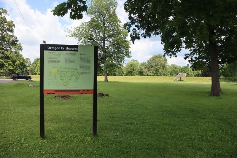
View of the Octagon Earthworks marker in the foreground, with a distant view of the observation platform, that this marker is located on, in the background.
Photographed by Dale K. Benington, June 11, 2022
4. The Newark Earthworks Marker
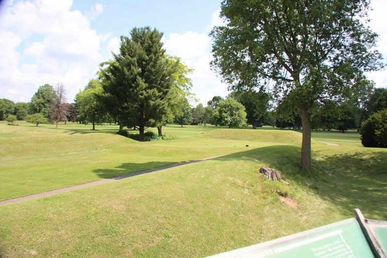
View of the landscape, and the Octagon Earthworks, as seen from the top of the observation platform.
Credits. This page was last revised on May 7, 2025. It was originally submitted on June 16, 2022, by Dale K. Benington of Toledo, Ohio. This page has been viewed 274 times since then and 16 times this year. Last updated on May 7, 2025, by Craig Doda of Napoleon, Ohio. Photos: 1, 2, 3, 4. submitted on June 16, 2022, by Dale K. Benington of Toledo, Ohio. • Devry Becker Jones was the editor who published this page.
