Near Circleville in Garfield County, Utah — The American Mountains (Southwest)
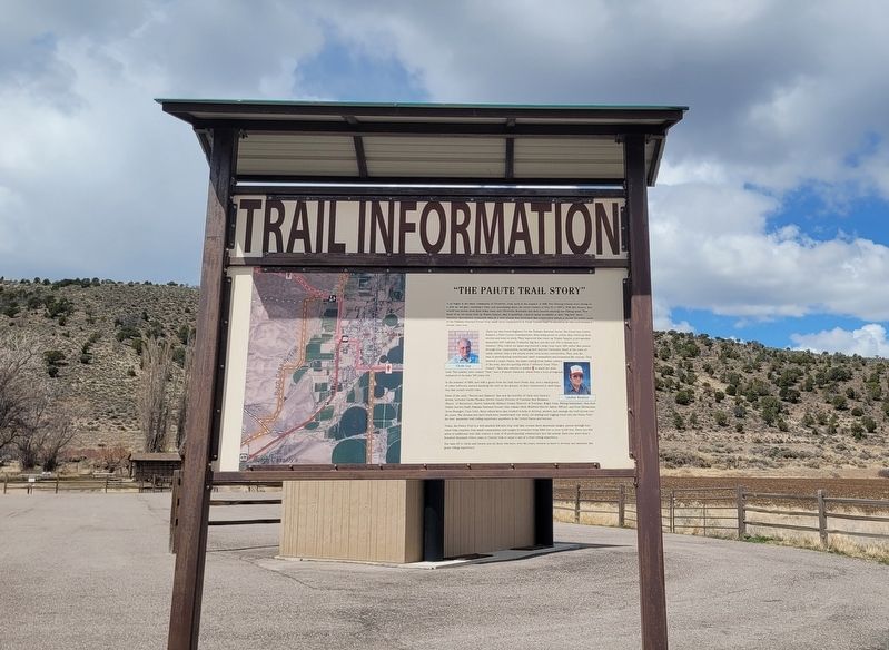
"The Paiute Trail Story"
Trail Information
Photographed by James Hulse, April 4, 2025
1. "The Paiute Trail Story" Marker
Clyde Lay was Forest Engineer for the Fishlake National Forest. His friend was Linden Romine, a Piute County Commissioner. Both being prone to action, they rolled up their sleeves and went to work. They improved that route up Wades Canyon to accomodate motorized OHV vehicles; (3-wheeler Big Red, and the new 300 cc Honda four wheeler). They rolled out maps and plotted a large loop route (260 miles)
this page online
In the summer of 1990, and with a grant from the Utah State Parks, they, and a small group of other believers, started marking the trail on the ground. As they constructed it, their hope was that people would come.
Some of the early "Movers and Shakers" that saw the benefits of Clyde and Linden's dream, included Carma Thomas (Sevier County Director of Tourism), Ron Bushman (Mayor of Marysvale), Sherry Ashworth (Millard County Director of Tourism), Roger Foisy (Riding Enthusiast), Max Reid (Public Service Staff, Fishlake National Forest), Stan Adams (BLM, Richfield District
Photographed by James Hulse, April 4, 2025
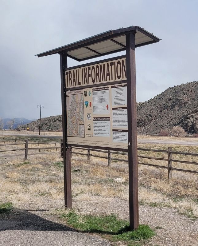
2. "The Paiute Trail Story" Marker - Reverse Side
Today, the Paiute Trail is a well marked 238 mile loop trail that crosses three mountain ranges, passes through four rural Utah counties, four small communities, and ranges in elevation from 5200 feet to over 11,400 feet. There are 639 miles of additional trail that connect a total of 16 participating communities into the system. Each year more than a hundred thousand riders come to Central Utah to enjoy a one of a kind riding experience.
Our hats off to Clyde and Linden and all those who have, over the years, worked so hard to develop and maintain this great riding experience.
Captions
(Photo #1) Clyde Lay
(Photo #2) Linden Romine
Topics. This historical marker is listed in these topic lists: Indigenous Peoples and Communities • Roads & Vehicles. A significant historical year for this entry is 1988.
Location. 38° 8.661′ N, 112° 18.23′ W. Marker is near Circleville, Utah, in Garfield County. It is on U.S. 89 one mile south of Birch Crk Rd, on the right when traveling south. The marker is located at the Butch Cassidy Childhood Home. Touch for map. Marker is at or near this postal address: 17690 N Hwy 89, Circleville UT 84723, United States of America. Touch for directions.

Regionally, this marker is in Canyon Country and specifically in Color Country. It is also in the American Mountain West, on the Colorado Plateau, and at the Four Corners. Globally, it is in North America, the Western Hemisphere, the Western World, and the Anglosphere. Historically, it finds itself in what was once New Spain and also Mexico’s Alta California.

Other nearby markers. At least 8 other markers are within 8 miles of this marker, measured as the crow flies: Trade with the Native Americans (here, next to this marker); Butch Cassidy Childhood Home (within shouting distance of this marker); "More lives than a dozen cats" (within shouting distance of this marker); Circleville (approx. 2.6 miles away); Circleville Veterans Memorial (approx. 2.7 miles away); The Circleville Massacre (approx. 2.7 miles away); Circleville Massacre Monument (approx. 2.7 miles away); Kingston Ward (approx. 7.7 miles away). Touch for a list and map of all markers in Circleville.
Credits. This page was last revised on May 10, 2025. It was originally submitted on May 8, 2025, by James Hulse of Medina, Texas. This page has been viewed 177 times since then and 45 times this year. Photos: 1, 2. submitted on May 10, 2025, by James Hulse of Medina, Texas.
