Newark in Licking County, Ohio — The American Midwest (Great Lakes)
Astronomical Alignments
Photographed by Craig Doda, May 3, 2025
1. Astronomical Alignments Marker
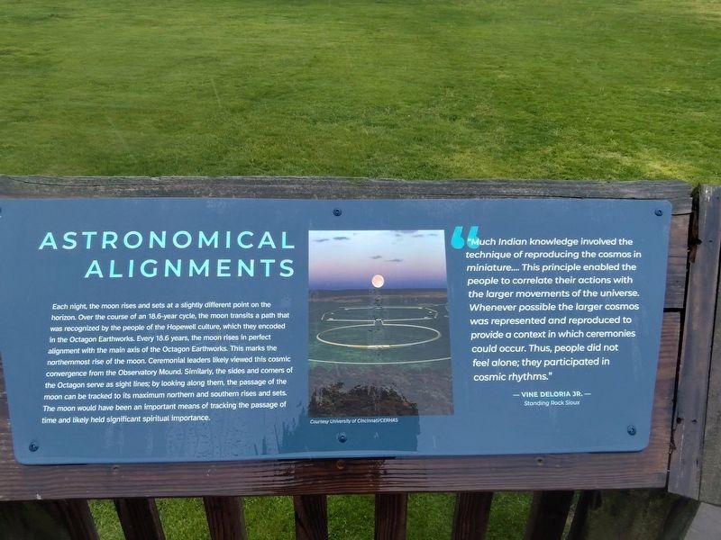
Each night, the moon rises and sets at a slightly different point on the horizon. Over the course of an 18.6-year cycle, the moon transits a path that was recognized by the people of the Hopewell culture, which they encoded in the Octagon Earthworks. Every 18.6 years, the moon rises in perfect alignment with the main axis of the Octagon Earthworks. This marks the northernmost rise of the moon. Ceremonial leaders likely viewed this cosmic convergence from the Observatory Mound. Similarly, the sides and corners of the Octagon serve as sight lines; by looking along them, the passage of the moon can be tracked to its maximum northern and southern rises and sets. The moon would have been an important means of tracking the passage of time and likely held significant spiritual importance.
"Much Indian knowledge involved the technique of reproducing the cosmos in miniature.... This principle enabled the people to correlate their actions with the larger movements of the universe. Whenever possible the larger cosmos was represented and reproduced to provide a context in which ceremonies could occur. Thus, people did not feelalone; they participated in cosmic rhythms."
Click or scan to see
this page online
-Vine Deloria Jr.-
Standing Rock Sioux
Erected by Hopewell Ceremonial Earthworks / Ohio History Connection / unesco World Heritage Site.
Topics. This historical marker is listed in these topic lists: Air & Space • Anthropology & Archaeology • Indigenous Peoples and Communities.
Location. 40° 3.19′ N, 82° 26.785′ W. Marker is in Newark, Ohio, in Licking County. It is at the intersection of North 33rd Street and Parkview Road, on the left when traveling north on North 33rd Street. Touch for map. Marker is at or near this postal address: 125 N 33rd St, Newark OH 43055, United States of America. Touch for directions.

Regionally, this marker is in the Columbus Metropolitan Area. It is also in the American Midwest, in the Corn Belt, in Appalachia, and specifically in Northern Appalachia. Globally, it is in North America, the Western Hemisphere, the Western World, and the Anglosphere. Historically, it finds itself in what was once the Haudenosaunee (Iroquois) Confederacy, the territory of the Mississippian Culture,
Photographed by Craig Doda, May 3, 2025
2. Astronomical Alignments Marker
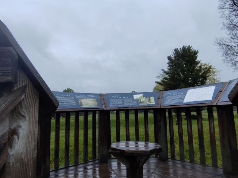
Other nearby markers. At least 8 other markers are within walking distance of this marker: The Earthworks (here, next to this marker); History of the Site (here, next to this marker); Chief Glenna J. Wallace (here, next to this marker); a different marker also named The Builders (here, next to this marker); a different marker also named History of the Site (here, next to this marker); Experience Ancient Brilliance (here, next to this marker); a different marker also named The Builders (here, next to this marker); a different marker also named Octagon Earthworks (within shouting distance of this marker). Touch for a list and map of all markers in Newark.
Other markers no longer nearby. The Circle (was here, next to this marker but has been permanently removed); The Octagon (was here, next to this marker but has been permanently removed); The Newark Earthworks (was here, next to this marker but has been permanently removed); a different marker also named History of the Site (was here, next to this marker but has been permanently removed); The Builders (was here, next to this marker but has been

Photographed by Craig Doda, May 3, 2025
3. Astronomical Alignments Marker
Credits. This page was last revised on May 11, 2025. It was originally submitted on May 9, 2025, by Craig Doda of Napoleon, Ohio. This page has been viewed 165 times since then and 38 times this year. Photos: 1, 2, 3. submitted on May 9, 2025, by Craig Doda of Napoleon, Ohio. • Devry Becker Jones was the editor who published this page.
