
Sault Ste. Marie in Algoma District, Ontario — Central Canada (North America)
Sault Ste. Marie Canal
⎯⎯⎯
Canal de Sault Ste. Marie

Photographed by Cosmos Mariner, June 11, 2024
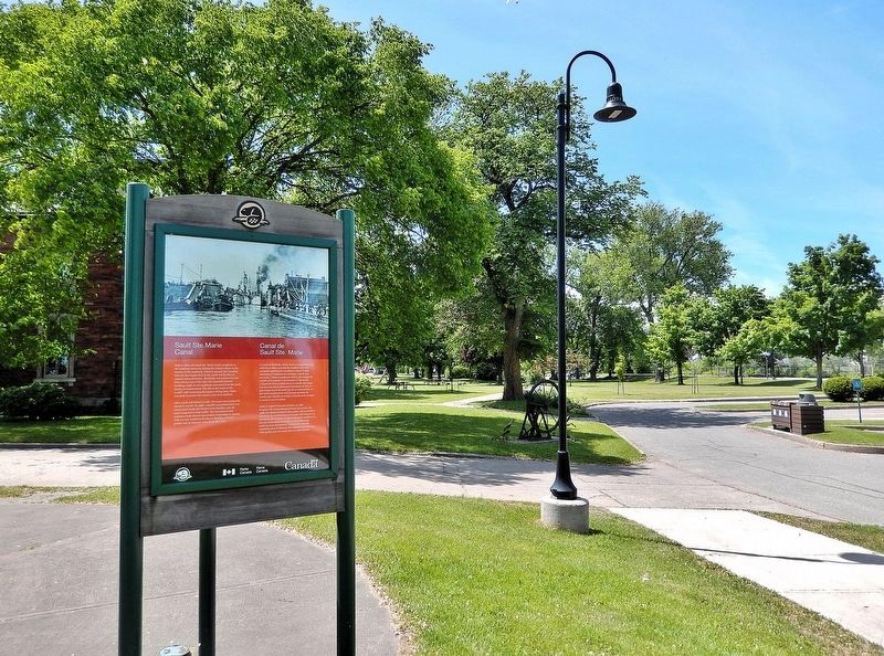
1. Sault Ste. Marie Canal / Canal de Sault Ste. Marie Marker

After a lock wall failure in 1987, the canal was temporarily closed to vessels. In 1998, a smaller recreational lock was constructed inside the historic lock chamber, and the canal reopened to boat traffic. The recreational lock combines both historic and modern technology to operate. Visit our new exhibit in the Stores Building or take a guided tour to discover more about this story.
Après la rupture d'un mur d'écluse en 1987, le canal a été temporairement fermé aux navires. En 1998, une écluse récréative plus petite a été construite à l'intérieur du sas historique et le canal a été rouvert à la circulation des bateaux. L'écluse récréative
this page online
Erected by Parks Canada / Parcs Canada.
Topics. This historical marker is listed in these topic lists: Architecture • Parks & Recreational Areas • Waterways & Vessels. A significant historical year for this entry is 1895.
Location. 46° 30.799′ N, 84° 21.03′ W. Marker is in Sault Ste. Marie, Ontario, in Algoma District. It can be reached from Canal Drive 0.7 kilometers south of Huron Street, on the left when traveling west. The marker is located along the interpretive walkway at the Sault Ste. Marie Canal National Historic Site. Touch for map. Marker is at or near this postal address: 1 Canal Drive, Sault Ste Marie ON P6A 6W4, Canada. Touch for directions.

Regionally, this marker is in the Sault Ste. Marie and Algoma Area and in Northern Ontario. It is also in Central Canada. Globally, it is in North America, in the Great North Woods, on the Great Lakes, on Lake Superior’s North Shore, in
Photographed by Cosmos Mariner, June 11, 2024
2. Sault Ste. Marie Canal / Canal de Sault Ste. Marie Marker
Looking west; the Sault Ste. Marie Canal National Historic Site administration office is partially visible behind the trees in the left background.
Other nearby markers. At least 8 other markers are within walking distance of this marker: The Métis in Sault Ste. Marie / Les Métis de Sault Ste. Marie (here, next to this marker); Baawaating — the Place of the Rapids / Baawaating — le lieu des rapides (here, next to this marker); Equality and Multiculturalism / Égalité et multiculturalisme (here, next to this marker); Celebrating Indigenous History and Heritage / Célébrons l'histoire et le patrimoine autochtones (here, next to this marker); D-Day/Jour J (here, next to this marker); The Canal at war, 1914 / Le canal en guerre, 1914 (a few steps from this marker); The Sault's Industrial Heritage / Le patrimoine industriel du Sault (within shouting distance of this marker); Waterfront / Les Rives (within shouting distance of this marker). Touch for a list and map of all markers in Sault Ste. Marie.
Also see . . . Sault Ste. Marie Canal (Wikipedia).

Photographed by Cosmos Mariner, June 11, 2024
3. Sault Ste. Marie Canal National Historic Site Administration Office
Formerly the Canal Administration Office, it is located about 30 meters west of this historical marker.
Excerpt: The construction of the canal and lock was completed in 1895. At that time it was the largest lock and first electrically operated lock in the world. The canal is about 1.6 km long and originally the lock portion was 274 meters long and 18 meters wide.(Submitted on May 14, 2025, by Cosmos Mariner of Cape Canaveral, Florida.)The canal was designated a National Historic Site in 1987 and is managed by Parks Canada as a unit of the national park system. It welcomes recreational boating and land-based visitors. There are several heritage buildings on the site: the administration building, the superintendent's residence, the canalmen's shelter, the powerhouse and the blacksmith shop, all constructed from red sandstone dug up during the canal's construction. Most of the original machinery used to operate the lock is also still in place. Another unique feature of the site is the Sault Canal Emergency Swing Dam, the only emergency swing dam left in existence, and the only one to ever be used in an emergency.
Photographed by Cosmos Mariner, June 11, 2024
4. Sault Ste. Marie Canal / Canal de Sault Ste. Marie
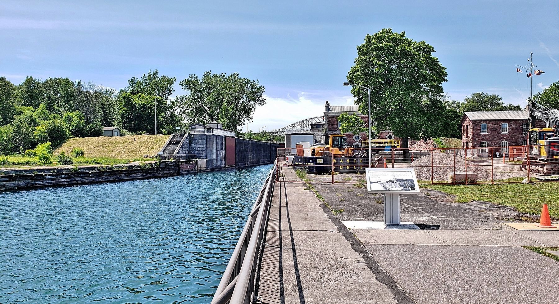
Looking west along the canal toward the east lock gate. The site is undergoing a major restoration at the time of this photo.
Credits. This page was last revised on May 15, 2025. It was originally submitted on May 11, 2025, by Cosmos Mariner of Cape Canaveral, Florida. This page has been viewed 145 times since then and 27 times this year. Photos: 1, 2, 3, 4. submitted on May 14, 2025, by Cosmos Mariner of Cape Canaveral, Florida.
