Hayesville in Clay County, North Carolina — The American South (South Atlantic)
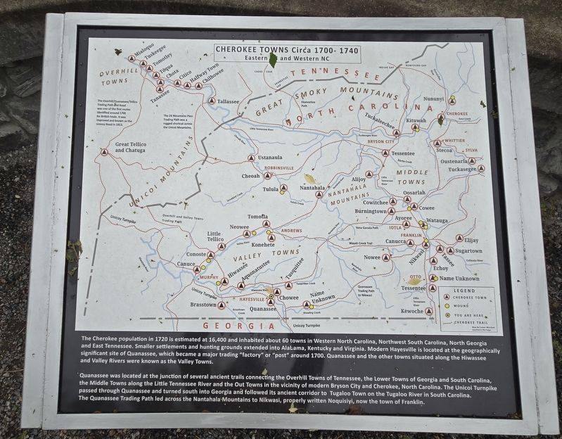
Cherokee Towns Circa 1700-1740
Eastern TN and Western NC
Photographed by Mark Parker, May 10, 2025
1. Cherokee Towns Circa 1700-1740 Marker
The Cherokee population in 1720 is estimated at 16,400 and inhabited about 60 towns in Western North Carolina, Northwest South Carolina, North Georgia and East Tennessee. Smaller settlements and hunting grounds extended into Alabama, Kentucky and Virginia. Modern Hayesville is located at the geographically significant site of Quanassee, which became a major trading "factory" or "post" around 1700. Quanassee and the other towns situated along the Hiwassee and Valley Rivers were known as the Valley Towns.
Quanassee was located at the junction of several ancient trails connecting the Overhill Towns of Tennessee, the Lower Towns of Georgia and South Carolina, the Middle Towns along the Little Tennessee River and the Out Towns in the vicinity of modern Bryson City and Cherokee, North Carolina. The Unicoi Turnpike passed through Quanassee and turned south into Georgia and followed its ancient corridor to Tugaloo Town on the Tugaloo River in South Carolina. The Quanassee Trading Path led across the Nantahala Mountains to Nikwasi, properly written Noquisiyi, now the town of Franklin.
Topics. This historical marker is
this page online
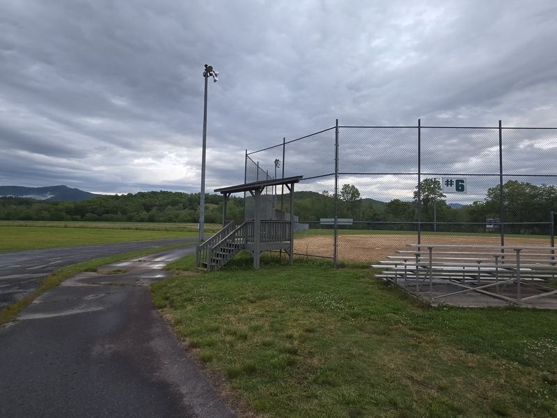
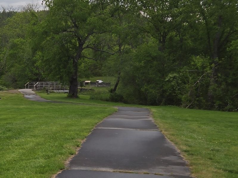
Location. 35° 2.858′ N, 83° 48.516′ W. Marker is in Hayesville, North Carolina, in Clay County. It can be reached from Ball Park Drive 0.4 miles east of Anderson Street when traveling east. Take Ball Park Drive until it ends at Field #6. From the parking lot, take the paved path 1/10 mile past the bridge. The marker is at the end of the path. Touch for map. Marker is at or near this postal address: 384 Ball Pk Dr, Hayesville NC 28904, United States of America. Touch for directions.

Regionally, this marker is in North Carolina’s Mountains. It is also in the American South, specifically in the Upper South, in Appalachia, and specifically in Southern Appalachia. Globally, it is in North America, the Western Hemisphere, the Western World, and the Anglosphere. Historically, it finds itself in what was once the original Cherokee Nation, the territory of the Mississippian Culture, one of the original Thirteen Colonies, one of the Confederate States of America, and
Photographed by Mark Parker, May 10, 2025
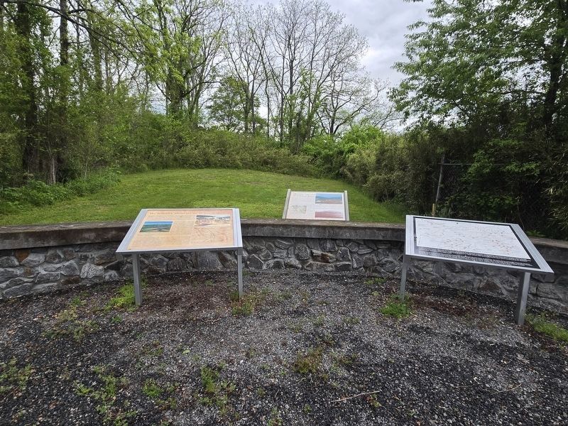
2. Cherokee Towns and 2 othe markers at the Spike Buck Mound site
Other nearby markers. At least 8 other markers are within walking distance of this marker: Quanassee Town and the Spikebuck Mound (here, next to this marker); The Spikebuck Mound and the Origins of Quanassee (here, next to this marker); A Tribute to Traditional Music (approx. half a mile away); A Tribute To Our Quilting Heritage (approx. half a mile away); Historic Clay County Courthouse (approx. half a mile away); Fort Hembree (approx. 0.6 miles away); In Memory Our War Dead (approx. 0.6 miles away); George W. Truett (approx. 0.6 miles away). Touch for a list and map of all markers in Hayesville.
Another marker is no longer nearby. Quanassee Town and the Spikebuck Mound (was here, next to this marker but has been replaced with another marker now near it).
Photographed by Mark Parker, May 10, 2025
3. To reach the marker, find the path near field #6
Photographed by Mark Parker, May 10, 2025
4. Continue along the path and cross the bridge. Markers are just past the bridge
Credits. This page was last revised on May 13, 2025. It was originally submitted on May 12, 2025, by Mark Parker of Hickory, North Carolina. This page has been viewed 253 times since then and 82 times this year. Photos: 1, 2, 3, 4. submitted on May 12, 2025, by Mark Parker of Hickory, North Carolina. • Devry Becker Jones was the editor who published this page.
