Near Monroe in Monroe County, Michigan — The American Midwest (Great Lakes)
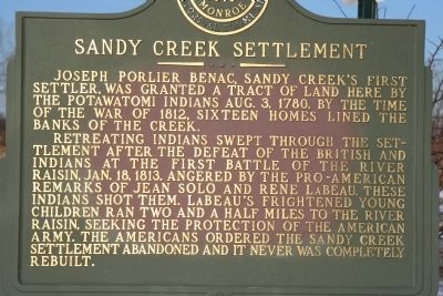
Sandy Creek Settlement
Retreating Indians swept through the settlement after the defeat of the British and Indians at the first Battle of the River Raisin, Jan. 18, 1813. Angered by the pro-American remarks of Jean Solo and Rene LaBeau, these Indians shot them. LaBeau's frightened young children ran two and a half miles to the River Raisin, seeking the protection of the American army. The Americans ordered the Sandy Creek settlement abandoned and it never was completely rebuilt.
Erected by Monroe County Historical Commission.
Topics. This historical marker is listed in these topic lists: Military • Native Americans • Settlements & Settlers • War of 1812. A significant historical date for this entry is January 18, 1839.
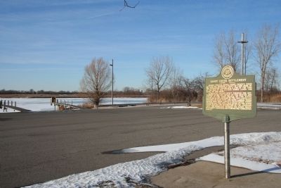
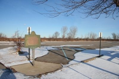
Location. 41° 55.152′ N, 83° 20.087′ W. Marker is near Monroe, Michigan, in Monroe County. Marker is on State Park Road, 1˝ miles east of North Dixie Highway, in the median. This historical marker is located in Sterling State Park, at the site of the park's boat launch. The state park is located just east of I-75, on North Dixie Highway. Touch for map . Marker is at or near this postal address: 2800 State Park Road, Monroe MI 48162, United States of America. Touch for directions.
Other nearby markers. At least 8 other markers are within 2 miles of this marker, measured as the crow flies. Monroe Piers (approx. 0.6 miles away); Wm. C. Sterling State Park (approx. 0.6 miles away); Monroe (approx. 0.6 miles away); Famous Waterfront (approx. 0.7 miles away); Capt. Norman W. Heck Jr (approx. 1.7 miles away); Monroe County Vietnam Veterans Memorial Tree (approx. 1.7 miles away); POW-MIA Chained Eagle (approx. 1.7 miles away); M29 81mm Mortar (approx. 1.7 miles away). Touch for a list and map of all markers in Monroe.
Credits. This page was last revised on June 16, 2016. It was originally submitted on February 7, 2010, by Dale K. Benington of Toledo, Ohio. This page has been viewed 2,473 times since then and 45 times this year. Photos: 1, 2, 3, 4. submitted on February 7, 2010, by Dale K. Benington of Toledo, Ohio.


