Port Dalhousie in St. Catharines in Niagara Region, Ontario — Central Canada (North America)
First Women Rowers In The Royal Canadian Henley Regatta 1948

Photographed by Kevin Westell, May 15, 2025
1. Dedicated To The First Women Rowers To Compete In The Royal Canadian Henley Regatta 1948 And... Marker
Dedicated to the first women rowers to compete in the Royal Canadian Henley Regatta 1948 and the first women's eight oared shells in North America.
"Toady" Bradshaw-Cox • Diane Gayder • Peggy Lemon • Judy Halsted • Audrey Wipper • Helen Paskey • Virginia Williams • Betty Christopher • Shirley Brookson
Beverly Van Sickle-Cox • Lola Long • Betty Pennock • June Rudel • Iris Findlay • Shirley Little • June Dunn • Mary Lou Lewitt • Doreen Sadler
Erected by Kirkpatrick & O'Brine Ltd.
Topics. This historical marker is listed in these topic lists: Sports • Waterways & Vessels • Women. A significant historical year for this entry is 1948.
Location. 43° 12.042′ N, 79° 15.984′ W. Marker is in St. Catharines, Ontario, in Niagara Region. It is in Port Dalhousie. It is on Lakeport Road south of Harbour Walkway Trail, on the right when traveling south. The stone faces south. From the parking lot at the north end of Rennie Park: follow the paved path 30 metres south (past the big white vertical stone "The Muir Brothers' Dry Docks"), then turn left and walk 15 metres. Alternatively, from
this page online

Regionally, this marker is on the Golden Horseshoe and in Niagara Canada. It is also in Central Canada. Globally, it is in North America, on the Great Lakes, in the Western Hemisphere, in the Western World, and in the Anglosphere. Historically, it finds itself in what was once a British colony, the Viceroyalty of New France, the Haudenosaunee (Iroquois) Confederacy, and Rupert’s Land.
Other nearby markers. At least 8 other markers are within walking distance of this marker: The Muir Brother's Dry Docks (within shouting distance of this marker); Muir Bros. Dry Dock Shipbuilders (within shouting distance of this marker); Dalhousie House circa 1850 (within shouting distance of this marker); Restoring the Henley Rowing Course at Martindale Pond (within shouting distance of this marker); St. Catharines Horticultural Society (within shouting distance of this marker); The Pull (about
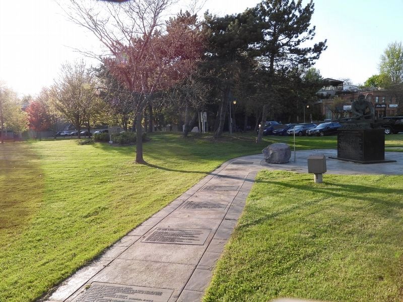
Photographed by Kevin Westell, May 15, 2025
2. Context
Photograph was taken from near Lakeport Road, looking north-east. The target stone is on the left (west), among the bushes (near the bike).
Credits. This page was last revised on May 18, 2025. It was originally submitted on May 16, 2025, by Kevin Westell of St. Catharines, Ontario. This page has been viewed 144 times since then and 36 times this year. Photos: 1, 2. submitted on May 16, 2025, by Kevin Westell of St. Catharines, Ontario. • Devry Becker Jones was the editor who published this page.
