Aberdeen in Brown County, Ohio — The American Midwest (Great Lakes)
Aberdeen
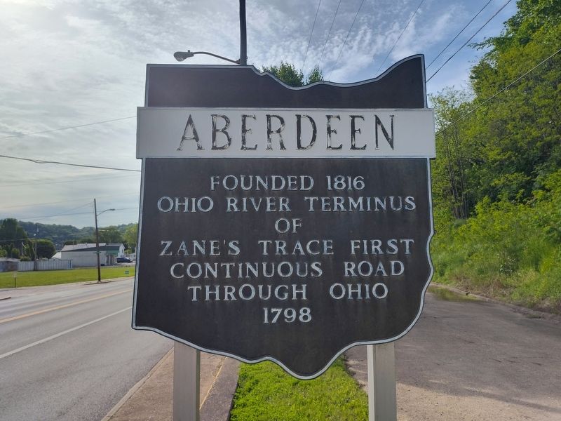
Photographed by Craig Doda, May 10, 2025
1. Aberdeen Marker
Ohio River terminus
of
Zane's Trace first
continuous road
through Ohio
1798
Erected by Ohio Historical Society / Ohio Department of Highways / Ohio Bicentennial Commission.
Topics and series. This historical marker is listed in these topic lists: Roads & Vehicles • Settlements & Settlers • Waterways & Vessels. In addition, it is included in the Ohio Historical Society / The Ohio History Connection series list. A significant historical year for this entry is 1816.
Location. 38° 39.25′ N, 83° 45.479′ W. Marker is in Aberdeen, Ohio, in Brown County. It is at the intersection of Ohio River Scenic Byway (U.S. 52) and Mountain Street on Ohio River Scenic Byway. Touch for map. Marker is at or near this postal address: 10 Main Cross St, Aberdeen OH 45101, United States of America. Touch for directions.

Regionally, this marker is in Greater Cincinnati and in Southern Ohio Hill Country. It is also in the American Midwest, in the Ohio River Valley, in Appalachia, and specifically in Northern Appalachia. Globally, it is in North America, the Western Hemisphere, the Western World, and the Anglosphere.
this page online
Other nearby markers. At least 8 other markers are within walking distance of this marker: A different marker also named Aberdeen (approx. ¼ mile away); Veterans Memorial (approx. ¼ mile away); Front Street Maysville, 1850 (approx. half a mile away in Kentucky); Maysville River Front 1900 (approx. half a mile away in Kentucky); Underground Rail Road (approx. half a mile away in Kentucky); La Fayette's Visit to Maysville (approx. half a mile away in Kentucky); Limestone Landing (approx. half a mile away in Kentucky); Buffalo Trace (approx. half a mile away in Kentucky). Touch for a list and map of all markers in Aberdeen.
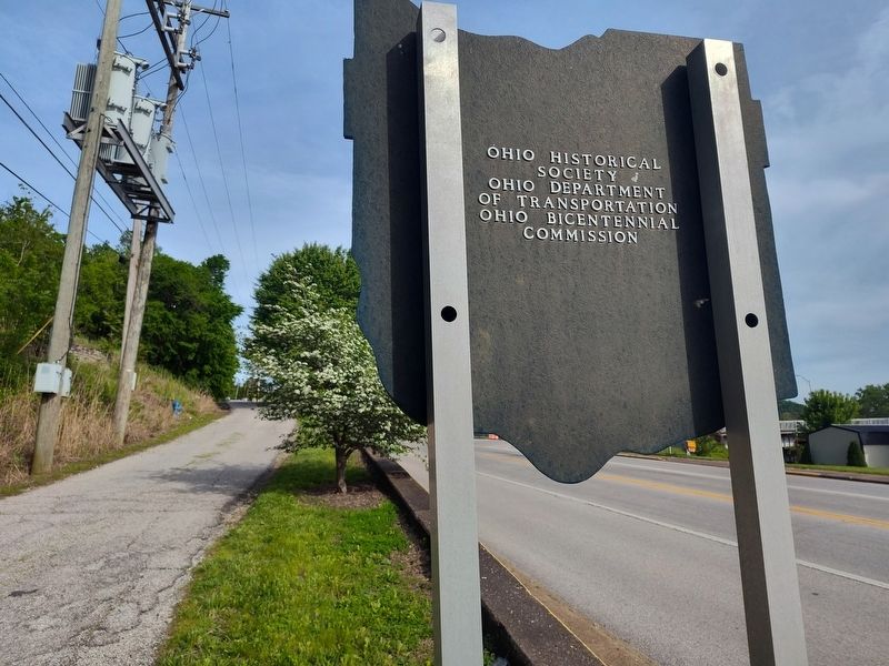
Photographed by Craig Doda, May 10, 2025
2. Aberdeen Marker

Photographed by Craig Doda, May 10, 2025
3. Aberdeen Marker
Credits. This page was last revised on May 21, 2025. It was originally submitted on May 21, 2025, by Craig Doda of Napoleon, Ohio. This page has been viewed 103 times since then and 23 times this year. Photos: 1, 2, 3. submitted on May 21, 2025, by Craig Doda of Napoleon, Ohio. • Devry Becker Jones was the editor who published this page.
