Charles City in Charles City County, Virginia — The American South (Mid-Atlantic)
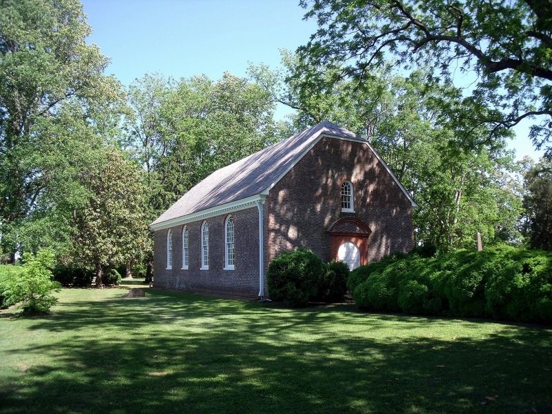
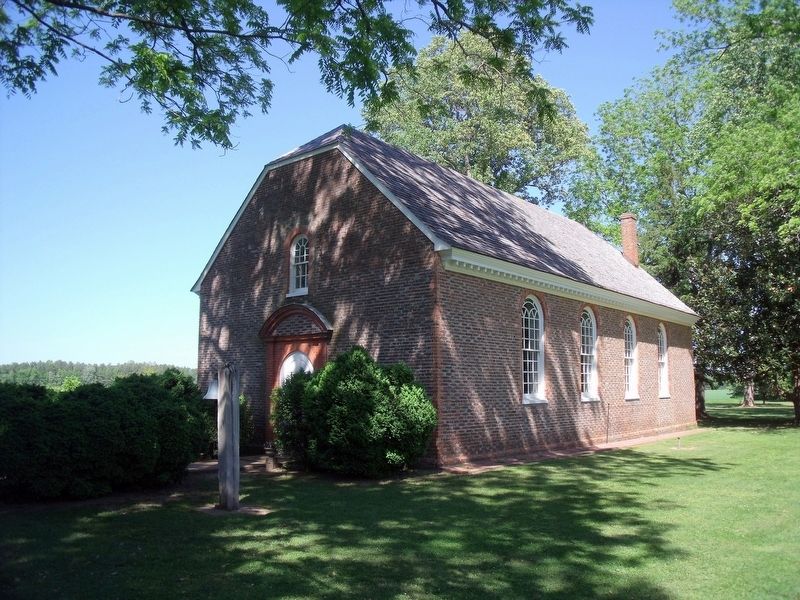
Westover Church
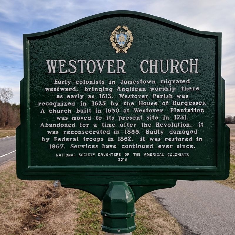
Photographed by Bernard Fisher, January 6, 2019
1. Westover Church Marker
This is a photo of the marker before it was moved near the churchyard gate.
Erected 2018 by National Society Daughters of the American Colonists.
Topics. This historical marker is listed in these topic lists: Colonial Era • Religion & Religious Structures • War, US Civil • War, US Revolutionary. A significant historical year for this entry is 1625.
Location. 37° 19.888′ N, 77° 9.572′ W. Marker is in Charles City, Virginia, in Charles City County. It can be reached from John Tyler Memorial Highway (Virginia Route 5) half a mile east of Barnetts Road (Route 609), on the right when traveling east. The marker has been relocated 0.3 miles south of the Virginia Capital Trail. It is now situated at the Westover Church property gate,. Touch for map. Marker is at or near
this page online

Regionally, this marker is in Coastal Virginia. It is also in the American South, specifically in the Upper South, in the Tidewater, and on the Eastern Seaboard. Globally, it is in the North Atlantic Region, North America, the Western Hemisphere, the Western World, and the Anglosphere. Historically, it finds itself in what was once the territory of the Mississippian Culture, one of the original Thirteen Colonies, one of the Confederate States of America, and the Antebellum South.
Other nearby markers. At least 8 other markers are within 2 miles of this marker, measured as the crow flies: A different marker also named Westover Church (approx. ¼ mile away); Evelynton (approx. 0.4 miles away); Salem Church (approx. 0.6 miles away); Herring Creek (approx. 1.2 miles away); Berkeley and Harrison's Landing (approx. 1½ miles away); Stuart's Ride (approx. 1½ miles away); Westover Plantation (approx. 1½ miles away); Westover (approx. 1½ miles away). Touch for a list and map of all markers in Charles City.
Another
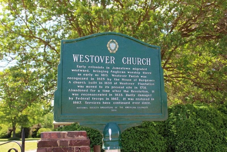
Photographed by Evan Dwyer, April 27, 2025
2. Westover Church Marker (relocated)
Also see . . .
1. Westover Church. Wikipedia (Submitted on January 6, 2019.)
2. Westover Episcopal Church. (Submitted on January 6, 2019.)
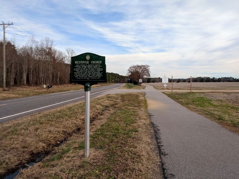
Photographed by Bernard Fisher, January 6, 2019
3. Westover Church Marker (facing east)
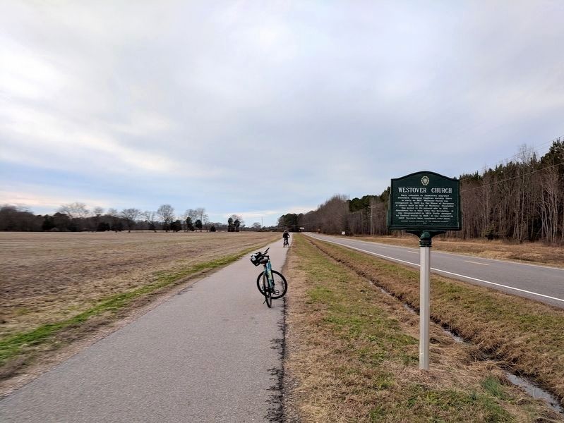
Photographed by Bernard Fisher, January 6, 2019
4. Westover Church Marker (facing west)
Photographed by Bernard Fisher
5. Westover Church
Photographed by Bernard Fisher
6. Westover Church
Credits. This page was last revised on January 6, 2026. It was originally submitted on January 6, 2019, by Bernard Fisher of Richmond, Virginia. This page has been viewed 707 times since then and 45 times this year. Last updated on May 23, 2025, by Evan Dwyer of Richmond, Virginia. Photos: 1. submitted on January 6, 2019, by Bernard Fisher of Richmond, Virginia. 2. submitted on May 23, 2025, by Evan Dwyer of Richmond, Virginia. 3, 4. submitted on January 6, 2019, by Bernard Fisher of Richmond, Virginia. 5, 6. submitted on April 29, 2010, by Bernard Fisher of Richmond, Virginia. • Devry Becker Jones was the editor who published this page.
Editor’s want-list for this marker. A wide shot of the marker in its current location. • Can you help?
