Near Salem in Oconee County, South Carolina — The American South (South Atlantic)
Keowee Town
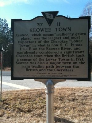
Keowee Town, which means “mulberry grove place,” was the largest and most important of the Cherokee “Lower Towns” in what is now S.C. It was 1 mi. E on the Keowee River, and was already considered a significant Cherokee town when the British took a census of the Lower Towns in 1721. Keowee was also a major town on the main trading path between the British and the Cherokees.
[Marker Reverse]
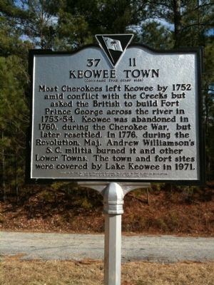
Most Cherokees left Keowee by 1752 amid conflict with the Creeks but asked the British to build Fort Prince George across the river in 1753-54. Keowee was abandoned in 1760, during the Cherokee War, but later resettled. In 1776, during the Revolution, Maj. Andrew Williamson’s S.C. militia burned it and other Lower Towns. The town and fort sites were covered by Lake Keowee in 1971.
Erected 2006 by the Wizard of Tamassee Chapter, Daughters of the American Revolution, and the Oconee County Arts and Historical Commission. (Marker Number 37-11.)
Topics and series. This historical marker is listed in these topic lists: Colonial Era • War, US Revolutionary • Wars, US Indian. In addition, it is included in the Daughters of the American Revolution series list. A significant historical year for this entry is 1721.
Location. 34° 51.774′ N, 82° 55.182′ W. Marker is near Salem, South Carolina, in Oconee County. Marker is at the intersection of Nimmons Bridge Road (State Highway S37-128) and Keowee Town Landing Road (State Highway S 37-98) on Nimmons Bridge Road. Touch for map. Marker is in this post office area: Salem SC 29676, United States of America. Touch for directions.
Other nearby markers. At least 8 other markers are within 6 miles of this marker, measured as the crow flies. Fort Prince George (approx. 2.2 miles away); Salem Confederate Monument (approx. 3˝ miles away); Wm. Jennings Bryan Dorn Bridge (approx. 3.9 miles away); The Cherokee Path (approx. 5 miles away); Henry Craig (approx. 5.3 miles away); Old Pickens Church (approx. 5.3 miles away); Old Pickens Presbyterian Church (approx. 5.3 miles away); Andrew Pickens (approx. 5.3 miles away). Touch for a list and map of all markers in Salem.
More about this marker. Marker 37-11 is a replacement of Marker 37-5.
Credits. This page was last revised on June 16, 2016. It was originally submitted on February 9, 2010, by David Bullard of Seneca, South Carolina. This page has been viewed 2,915 times since then and 155 times this year. Photos: 1, 2, 3. submitted on February 9, 2010, by David Bullard of Seneca, South Carolina. • Craig Swain was the editor who published this page.


