Bernalillo in Sandoval County, New Mexico — The American Mountains (Southwest)
Archaeological excavations
⎯⎯⎯
Excavaciones arqueológicas
Photographed by James Hulse, April 9, 2025
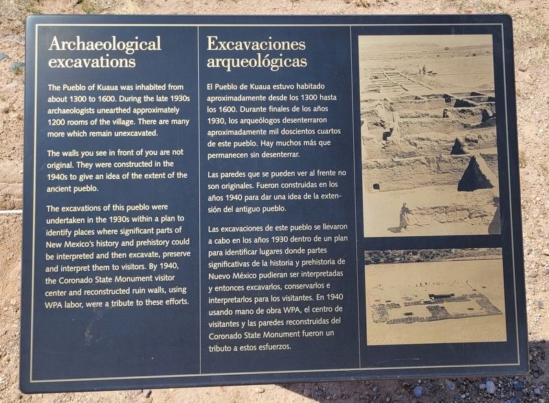
1. Archaeological excavations / Excavaciones arqueológicas Marker
 The Pueblo of Kuaua was inhabited from about 1300 to 1600. During the late 1930s archaeologists unearthed approximately 1200 rooms of the village. There are many more which remain unexcavated.
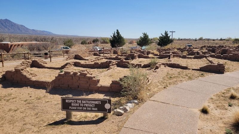
The walls you see in front of you are not original. They were constructed in the 1940s to give an idea of the extent of the ancient pueblo.
The excavations of this pueblo were undertaken in the 1930s within a plan to identify places where significant parts of New Mexico's history and prehistory could be interpreted and then excavate, preserve and interpret them to visitors. By 1940, the Coronado State Monument visitor center and reconstructed ruin walls, using WPA labor, were a tribute to these efforts.
El Pueblo de Kuaua estuvo habitado aproximadamente desde los 1300 hasta los 1600. Durante finales de los años 1930, los arqueólogos desenterraron aproximadamente mil doscientos cuartos de este pueblo. Hay muchos más que permanecen sin desenterrar.
Las paredes que se pueden ver al frente no son originales. Fueron construidas en los años 1940 para dar una idea de la extensión del antiguo pueblo.
Las excavaciones
this page online
Topics. This historical marker is listed in these topic lists: Anthropology & Archaeology • Indigenous Peoples and Communities. A significant historical year for this entry is 1300.
Location. 35° 19.8′ N, 106° 33.417′ W. Marker is in Bernalillo, New Mexico, in Sandoval County. It is on Kuaua Road half a mile east of U.S. 550. The marker is located in the Kuaua Ruins (Coronado Historic Site). Touch for map. Marker is at or near this postal address: 485 Kuaua Rd, Bernalillo NM 87004, United States of America. Touch for directions.

Regionally, this marker is in the San Juan Basin and in Greater Albuquerque. It is also in the American Southwest and at the Four Corners. Globally, it is in North America, the Western Hemisphere,
Photographed by James Hulse, April 9, 2025
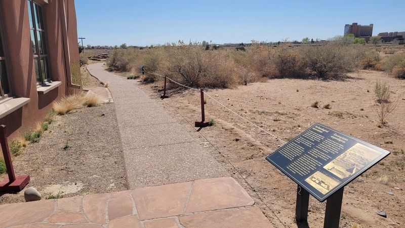
2. The view of the marker along the walkway
Other nearby markers. At least 8 other markers are within walking distance of this marker: Kuaua Ruins (a few steps from this marker); Pueblo (a few steps from this marker); The Siege of Kuaua (within shouting distance of this marker); Was Coronado Ever at Kuaua? (within shouting distance of this marker); Francisco Vasquez de Coronado (within shouting distance of this marker); El Pueblo de Kuaua / Kuaua Pueblo (within shouting distance of this marker); Agricultura Pueblo / Pueblo Agriculture (within shouting distance of this marker); The Plazas / Las Plazas (within shouting distance of this marker). Touch for a list and map of all markers in Bernalillo.
More about this marker. There is a small fee to visit the Kuaua Ruins (Coronado Historic Site).
Also see . . . Coronado Historic Site. New Mexico Historic Sites
Coronado Historic Site and the ancient Kuaua Pueblo are located just minutes north of Albuquerque (off of I-25, Exit 242) in Bernalillo.(Submitted on May 25, 2025, by James Hulse of Medina, Texas.)In 1540, Francisco Vásquez de Coronado—with 500 soldiers and 2,000 Indigenous allies from New Spain—entered the Rio Grande valley somewhere near this site. Coronado was searching for the fabled Seven Cities of Gold.Photographed by James Hulse, April 9, 20253. Archaeological Ruins
Credits. This page was last revised on May 26, 2025. It was originally submitted on May 25, 2025, by James Hulse of Medina, Texas. This page has been viewed 117 times since then and 13 times this year. Photos: 1, 2, 3. submitted on May 26, 2025, by James Hulse of Medina, Texas.
