Mountain Grove in Central Frontenac in Frontenac County, Ontario — Central Canada (North America)
The Frontenac Road/Le Chemin Frontenac
Photographed by William Fischer, Jr., May 12, 2025
1. The Frontenac Road Marker

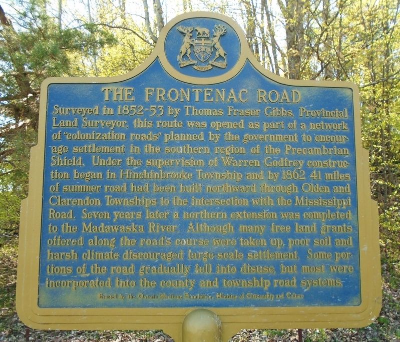
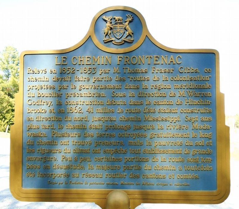
Surveyed in 1852-53 by Thomas Fraser Gibbs, Provincial Land Surveyor, this route was opened as part of a network of "colonization roads" planned by the government to encourage settlement in the southern region of the Precambrian Shield. Under the supervision of Warren Godfrey construction began in Hinchinbrooke Township and, by 1862 41 miles of summer road had been built northward through Olden and Clarendon Townships to the intersection with the Mississippi Road. Seven years later, a northern extension was completed to the Madawaska River. Although many free land grants offered along the road's course were taken up, poor soil and harsh climate discouraged large-scale settlement. Some portions of the road gradually fell into disuse, but most were incorporated into the county and township road systems.
this page online
Erected by Ontario Heritage Foundation/
Topics and series. This historical marker is listed in these topic lists: Charity & Public Work • Immigration • Roads & Vehicles. In addition, it is included in the Canada, Ontario Heritage Trust series list. A significant historical year for this entry is 1852.
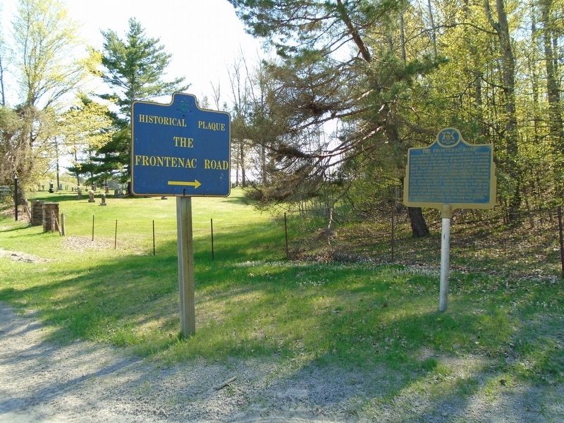
Location. 44° 44.54′ N, 76° 49.703′ W. Marker is in Central Frontenac, Ontario, in Frontenac County. It is in Mountain Grove. It is at the intersection of Frontenac Road and Ferguson Road, on the right when
Photographed by William Fischer, Jr., May 12, 2025
2. Le Chemin Frontenac Marker

Regionally, this marker is in Eastern Ontario and specifically in Southeastern Ontario. It is also in Central Canada. Globally, it is in North America, on the Great Lakes, in the Western Hemisphere, in the Western World, and in the Anglosphere. Historically, it finds itself in what was once a British colony, the Viceroyalty of New France, the Haudenosaunee (Iroquois) Confederacy, and Rupert’s Land.
Other nearby markers. At least 8 other markers are within 11 kilometers of this marker, measured as the crow flies: St. John's Anglican Cemetery (within shouting distance of this marker); War Memorial Cenotaph (approx. 1.5 kilometers away); The Pioneers of Olden (approx. 1.5 kilometers away); Kennebec (approx. 8 kilometers away); Arden Families Memorial (approx. 8 kilometers away); Simon Whitfield (approx. 11.2 kilometers away); First Station (approx. 11.3 kilometers away); Benton's Cut (approx. 11.3 kilometers away). Touch for a list and map of all
Photographed by William Fischer, Jr., May 12, 2025
3. The Frontenac Road/Le Chemin Frontenac Marker
Credits. This page was last revised on May 27, 2025. It was originally submitted on May 27, 2025, by William Fischer, Jr. of Reynoldsburg, Ohio. This page has been viewed 192 times since then and 78 times this year. Photos: 1, 2, 3. submitted on May 27, 2025, by William Fischer, Jr. of Reynoldsburg, Ohio.
