Near Port Lambton in Lambton County, Ontario — Central Canada (North America)
Rum Runners
Photographed by Tim Boyd, May 11, 2025
1. Rum Runners Marker
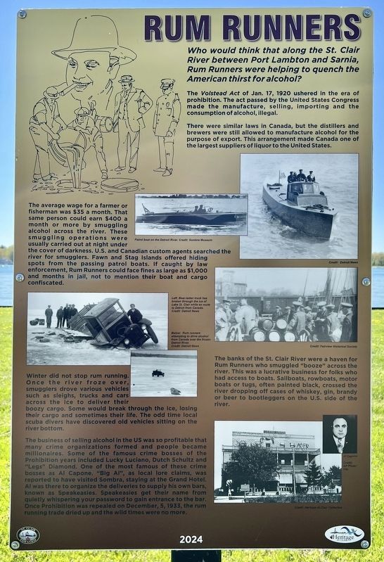
Who would think that along the St. Clair River between Port Lambton and Sarnia, Rum Runners were helping to quench the American thirst for alcohol?
The Volstead Act of Jan. 17, 1920 ushered in the era of prohibition. The act passed by the United States Congress made the manufacture, selling, importing and the consumption of alcohol, illegal.
There were similar laws in Canada, but the distillers and brewers were still allowed to manufacture alcohol for the purpose of export. This arrangement made Canada one of the largest suppliers of liquor to the United States.
The average wage for a farmer or fisherman was $35 a month. That same person could earn $400 a month or more by smuggling alcohol across the river. These smuggling operations were usually carried out at night under the cover of darkness. U.S. and Canadian custom agents searched the river for smugglers. Fawn and Stag Islands offered hiding spots from the passing patrol boats. If caught by law enforcement, Rum Runners could face fines as large as $1,000 and months in jail, not to mention their boat and cargo confiscated.
The banks of the St. Clair River were a haven for Rum Runners who smuggled "booze" across the river. This was a lucrative business for folks who had access to boats. Sailboats, rowboats, motor boats or tugs, often painted black, crossed the river dropping off cases of whiskey, gin, brandy or beer to bootleggers on the U.S. side of the river.
Winter did not stop rum running. Once the river froze over, smugglers drove various vehicles such as sleighs, trucks and cars across the ice to deliver their boozy cargo. Some would break through the ice, losing their cargo and sometimes their life. The odd time local scuba divers have discovered old vehicles sitting on the river bottom.
The business of selling alcohol in the
this page online
Erected 2024 by Heritage St. Clair.
Topics. This historical marker is listed in these topic lists: Industry & Commerce • Law Enforcement • Waterways & Vessels. A significant historical year for this entry is 1920.
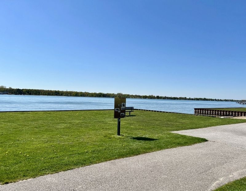
Location. 42° 38.704′ N, 82° 30.275′ W. Marker is near Port Lambton, Ontario, in Lambton County. It is on St. Clair Parkway 0.3 kilometers north of West Pointe Line, on the left when traveling north. The marker is in Brander Park, at the water’s edge approx. 100 metres
Photographed by Tim Boyd, May 11, 2025
2. Rum Runners Marker

Regionally, this marker is in the Southwest Ontario Area and in Southwestern Ontario. It is also in Central Canada. Globally, it is in North America, on the Great Lakes, in the Western Hemisphere, in the Western World, and in the Anglosphere. Historically, it finds itself in what was once a British colony, the Viceroyalty of New France, the Haudenosaunee (Iroquois) Confederacy, and Rupert’s Land.
Other nearby markers. At least 8 other markers are within 5 kilometers of this marker, measured as the crow flies: Baby Point (within shouting distance of this marker); Dr. Maud Menten, M.D., Ph.D. 1879-1960 (within shouting distance of this marker); Passenger Ships on the Lower St. Clair River (about 120 meters away, measured in a direct line); Port Lambton Hotels (about 150 meters away); St. Clair River Habitat Restoration (approx. 1.6 kilometers away in the U.S.); a different marker also named St. Clair River Habitat Restoration (approx. 1.8 kilometers away in the U.S.);
Photographed by Tim Boyd, May 11, 2025
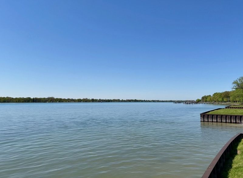
3. The St. Clair River at Port Franks, 2025
Credits. This page was last revised on May 28, 2025. It was originally submitted on May 14, 2025, by Tim Boyd of Hamilton, Ontario. This page has been viewed 175 times since then and 68 times this year. Last updated on May 28, 2025, by Tim Boyd of Hamilton, Ontario. Photos: 1, 2, 3. submitted on May 14, 2025, by Tim Boyd of Hamilton, Ontario. • Devry Becker Jones was the editor who published this page.
