Curlew in Ferry County, Washington — The American West (Northwest)
Chief Joseph Tonasket
1822 - 1891
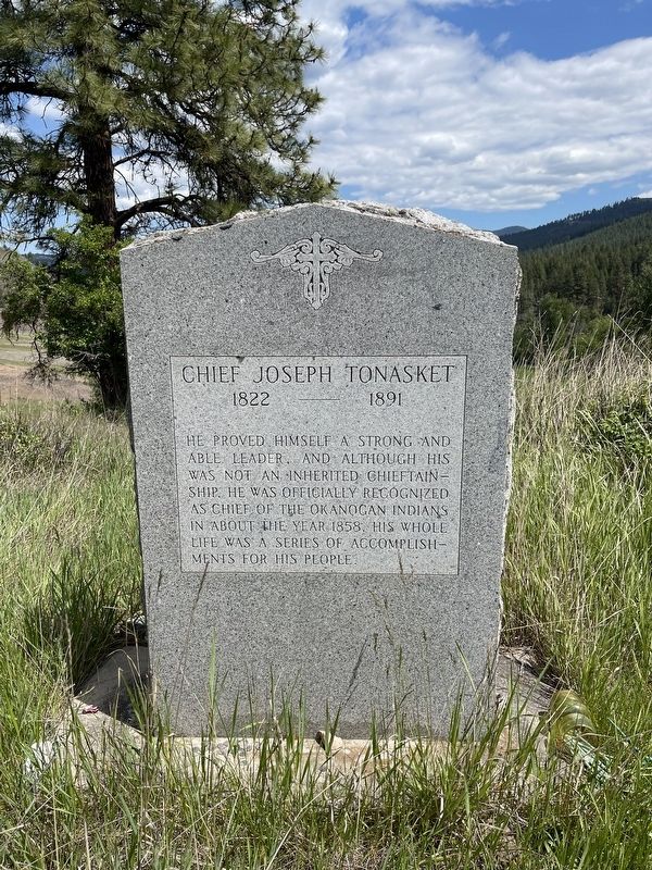
Photographed by Mark Teshera, May 24, 2025
1. Chief Joseph Tonasket Marker
Topics. This historical marker is listed in these topic lists: Cemeteries & Burial Sites • Indigenous Peoples and Communities. A significant historical year for this entry is 1858.
Location. 48° 53.507′ N, 118° 35.934′ W. Marker is in Curlew, Washington, in Ferry County. It can be reached from Washington 21 east of Vulcan Mountain Road. Touch for map. Marker is at or near this postal address: 18183 WA-21, Curlew WA 99118, United States of America. Touch for directions.

Regionally, this marker is in the Okanogan Highlands. It is also in the American Mountain West and in the Lewis & Clark Corridor. Globally, it is in North America, on the Pacific Rim, in the Western Hemisphere, in the Western World, and in the Anglosphere.
Other nearby markers. At least 5 other markers are within 23 kilometers of this marker, measured as the crow flies: Ranald MacDonald (approx. 7.7
this page online
Another marker is no longer nearby. Kettle Valley Railroad (was approx. 19 kilometers away in Canada but has been replaced with another marker now near it).
Also see . . . Profile for Chief Joseph Tonasket. (Submitted on July 25, 2025, by Devry Becker Jones of Washington, District of Columbia.)
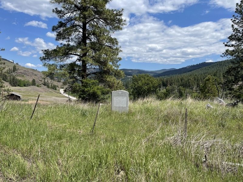
Photographed by Mark Teshera, May 24, 2025
2. Chief Joseph Tonasket Marker
Credits. This page was last revised on November 17, 2025. It was originally submitted on May 30, 2025, by Mark Teshera of Oroville, Washington. This page has been viewed 459 times since then and 98 times this year. Photos: 1, 2. submitted on May 30, 2025, by Mark Teshera of Oroville, Washington. • James Hulse was the editor who published this page.
