Dresden in Weakley County, Tennessee — The American South (East South Central)
Divided By Conflict
Civil War in Weakley County
| — | Tennessee Civil War Trails | — |

Photographed by David Austin, June 1, 2025
1. Divided By Conflict Marker
Drewry's side won the vote but most county men—more than 1,000—joined the Confederate army. Enlistments began in May 1861, when The Hickory Blues (Co. G, 9th Tennessee Infantry) were formed at Gardner's Station. Captains Bradford Edwards, A.C. Gardner, and A.M Boyd commanded the company during the war.
On May 6, 1862, Confederate Col. Thomas Claiborne's 1,300-man 6th Tennessee Cavalry attacked three small companies of the 5th Iowa Cavalry bivouacked 12 miles north of Dresden on the Obion River at Lochridge Mill. While defending a bridge so that his men could escape, Union Maj. Carl Schaffer de Boernstein was mortally wounded in a sword fight with Confederate Capt. John G. Ballentine, who was also wounded. Both
this page online
Eventually almost 400 local men joined the Federal cause. Capt. John Neeley formed Company B, 7th Tennessee Infantry, in November 1862, enlisting men in Weakley and adjoining Carroll and Gibson Counties. On the day after Christmas, Confederate Gen. Nathan B. Forrest, during his 1st West Tennessee Raid, ransacked the Federal garrison at Dresden and burned a bridge. He and his men then bivouacked there overnight to rest, get supplies, and gather intelligence about approaching Union troops.
After the war ended, the United Daughters of the Confederacy erected the nearby monument in memory of Weakley County's Confederate soldiers.
(captions)
Capt. John G. Ballentine, from Confederate Veteran Magazine (1917)
Maj. Carl Schaffer de Boernstein Courtesy University of Tennessee
Weakley County Courthouse
Lochridge Hoestead - Courtesy University of Tennessee
Erected by Tennessee Civil War Trails.
Topics and series. This historical marker is listed in this topic list: War, US Civil. In addition, it is included in the Tennessee Civil War Trails
Photographed by David Austin, June 1, 2025
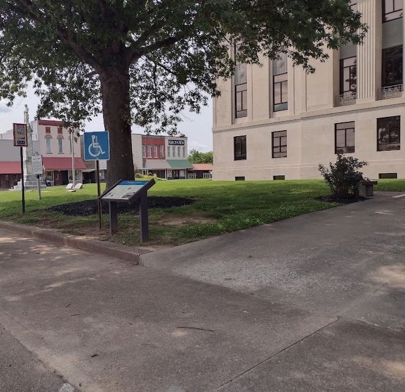
2. Divided By Conflict Marker
Location. 36° 17.512′ N, 88° 42.508′ W. Marker is in Dresden, Tennessee, in Weakley County. It is on West Main Street (Tennessee Route 54) west of North Wilson Street, on the right when traveling west. In front of Weakley County Courthouse. Touch for map. Marker is at or near this postal address: 116 W Main St, Dresden TN 38225, United States of America. Touch for directions.

Regionally, this marker is in West Tennessee. It is also in the American South, specifically in the Deep South, and specifically in the Upper South. Globally, it is in North America, the Western Hemisphere, the Western World, and the Anglosphere. Historically, it finds itself in what was once the territory of the Mississippian Culture, one of the Confederate States of America, and the Antebellum South.
Other nearby markers. At least 8 other markers are within 10 miles of this marker, measured as the crow flies: Weakley County (here, next to this marker); Weakley County Tennessee Confederate Memorial (a few steps from this marker); Weakley County War Memorial (within shouting distance of this marker); New Salem Cumberland Presbyterian Church (approx. 4.1 miles away); Janes Mill (approx. 6.8 miles away); Gleason Veterans Memorial (approx. 7.7 miles away); The University of Tennessee at Martin (approx. 9.2 miles away); Civil War Skirmish (approx. 9.8 miles away). Touch for a list and map of all markers in Dresden.
Credits. This page was last revised on June 2, 2025. It was originally submitted on June 1, 2025, by David Austin of Scotts Hill, Tennessee. This page has been viewed 320 times since then and 58 times this year. Photos: 1, 2. submitted on June 1, 2025, by David Austin of Scotts Hill, Tennessee. • Bernard Fisher was the editor who published this page.
