
Niagara-on-the-Lake in Niagara Region, Ontario — Central Canada (North America)
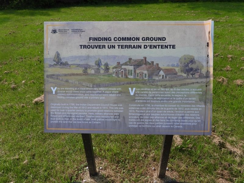
Finding Common Ground
Trouver Un Terrain D'Entente
Photographed by Kevin Westell, June 2, 2025
1. Finding Common Ground Marker

You are standing at a place where very different people with diverse world views once came together. A place where respect, communication, and negotiation were valued and finding common ground was a primary goal.
Originally built in 1796, the Indian Department Council House was destroyed during the War of 1812 and rebuilt in 1815. This site was used for over a quarter century to promote good relations between the British and Aboriginal peoples. Here, military alliances were forged and differences resolved, Treaties were established and trust built so that, in the event of war, both parties would fight to protect the land that we now know as Canada.
Vous pénétrez ici en un lieu qui, au fil des siècles, a accueilli une variété de personnes ayant des perceptions différentes du monde. Dans cette enceinte, le respect, la communication, la négociation et la quête d'un terrain d'entente ont toujours revêtu une grande importance.
Construite en 1796, la chambre du conseil du ministère des Affaires indiennes a été détruite lors de la guerre de 1812,
this page online
Erected by Parks Canada.
Topics. This historical marker is listed in these topic lists: Government & Politics • Indigenous Peoples and Communities • Peace. A significant historical year for this entry is 1796.
Location. 43° 14.926′ N, 79° 4.156′ W. Marker is in Niagara-on-the-Lake, Ontario, in Niagara Region. It can be reached from Wellington Street. This marker is within the Parks Canada land called "The Commons", 75 metres south of a path named "Otter Trail". It is:
- 300 metres east of the Butler's Barracks parking lot at the end of Mary Street
- 250 metres south-east of Queens Parade. Touch for map. Marker is in this post office area: Niagara-on-the-Lake ON L0S 1J0, Canada. Touch for directions.

Regionally, this marker
Photographed by Kevin Westell, June 2, 2025
2. Marker in context
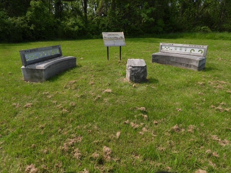
This panel marker is adjacent to a couple of benches and a cube-like stone marker, in a grassy field.
Other nearby markers. At least 8 other markers are within walking distance of this marker: The Site Of The Military Hospital And Indian Council House (here, next to this marker); Indian Council House At Niagara (within shouting distance of this marker); In Their Footsteps / Sur Leurs Traces (about 90 meters away, measured in a direct line); Even before Canada was an independent nation (approx. 0.3 kilometers away); From Colony To Nation: Standing On Guard For Canada (approx. 0.3 kilometers away); The Scouting Movement In Canada / Le Scoutisme au Canada (approx. 0.3 kilometers away); Courting International Tennis (approx. 0.4 kilometers away); 1st Canadian Parachute Battalion / 1er Bataillon de parachutistes canadiens (approx. 0.4 kilometers away).

Photographed by Kevin Westell, June 2, 2025
3. Marker, viewed from Otter Trail
In case the grass grows tall enough to conceal the markers in the field: start at this panel marker (also about Indian Council House) beside Otter Trail, and proceed at right angles. The target panel marker is 10 metres short of the forest.
Credits. This page was last revised on June 10, 2025. It was originally submitted on June 4, 2025, by Kevin Westell of St. Catharines, Ontario. This page has been viewed 84 times since then and 9 times this year. Photos: 1, 2, 3. submitted on June 4, 2025, by Kevin Westell of St. Catharines, Ontario. • Andrew Ruppenstein was the editor who published this page.
