San Jose in Jacksonville in Duval County, Florida — The American South (South Atlantic)
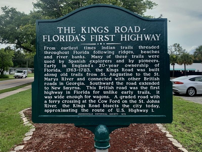
The Kings Road - Florida’s First Highway
Photographed by Tim Fillmon, June 4, 2025
1. The Kings Road ~ Florida’s First Highway Marker
Erected 1975 by Jacksonville Historical Society.
Topics. This historical marker is listed in these topic lists: Exploration • Indigenous Peoples and Communities • Roads & Vehicles. A significant historical year for this entry is 1763.
Location. 30° 14.753′ N, 81° 36.962′ W. Marker is in Jacksonville, Florida, in Duval County. It is in San Jose. It is at the intersection of Old Kings Road South and Hernando Road, on the right when traveling north
this page online

Regionally, this marker is in Florida’s First Coast. It is also in the American South and on the Eastern Seaboard. Globally, it is in the North Atlantic Region, North America, a Gulf of Mexico state, the Western Hemisphere, the Western World, and the Anglosphere. Historically, it finds itself in what was once New Spain, the territory of the Mississippian Culture, one of the Confederate States of America, and the Antebellum South.
Other nearby markers. At least 8 other markers are within 5 miles of this marker, measured as the crow flies: San Jose Country Club (approx. 0.6 miles away); San Jose Estates Administrative Building (approx. 0.6 miles away); Old Philips Congregational Church (approx. 3.6 miles away); Philips ~ Craig Swamp Cemetery (approx. 3.8 miles away); St. Nicholas Cemetery (approx. 3.8 miles away); Oriental Gardens (approx. 3.8 miles away); Douglas Anderson School (approx. 4 miles away); Millers Creek (approx. 4.2 miles away).
Photographed by Tim Fillmon, June 4, 2025
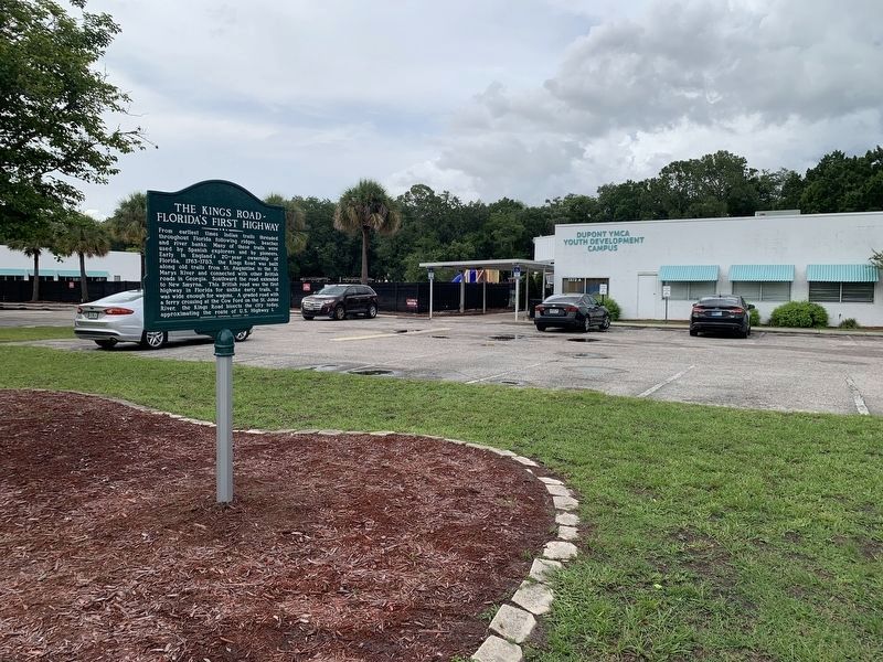
2. The Kings Road ~ Florida’s First Highway Marker
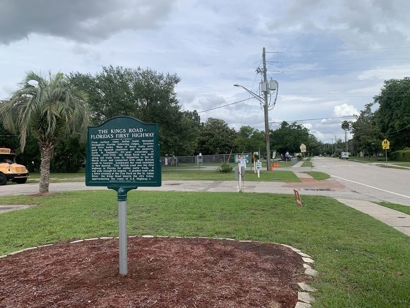
More about this marker. After more than thirty years of being stored in a backyard of a nearby neighbor, this marker was restored and re-erected on June 4, 2025.
Photographed by Tim Fillmon, June 4, 2025
3. The Kings Road ~ Florida’s First Highway Marker
Credits. This page was last revised on June 30, 2025. It was originally submitted on June 4, 2025, by Tim Fillmon of Webster, Florida. This page has been viewed 487 times since then and 162 times this year. Photos: 1, 2, 3. submitted on June 4, 2025, by Tim Fillmon of Webster, Florida.
