Hunts Point in the Bronx in Bronx County, New York — The American Northeast (Mid-Atlantic)
The Bronx River
A Brief History
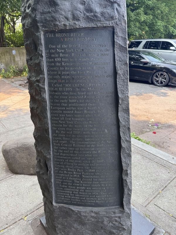
One of the little known marvels of the New York City landscape, the 23-mile Bronx River descents more than 400 feet as it winds its way from the Kensico dam in Westchester County to its mouth in the Bronx where it joins the East River. It is the only major watercourse within city limits that is not entirely tidal.
Called "Aquehung" — River of High Bluffs — by the Mohegan Indians who first lived and fished along it, the river attracted European traders in the early 1600's for the sleek, fat beaver that proliferated there. The first European settler was a Swedish sea captain named Jonas Bronck, 1639. The river was later med after him. In 1898 when all five boroughs were integrated into New York City, the Bronx was chosen for the name of the borough, after the river that flowed through its heart.
By the mid 1700's mills located along the river for its its waterpower and produced paper, flour, pottery, tapestries, barrels, and snuff. The construction of the New York Central Railroad in the 1840's turned the valley into an industrial corridor, and by the end of the century the Bronx River had degenerated into what one
this page online
Today many people are returning to the river, continuing the restoration and stewardship that began in 1974. They are returning for recreation and natural beauty along with plants and animals such as perch, tuliptrees, turtles, red-tailed hawks, great blue heron and many others.
Erected 2006 by NYC Parks.
Topics and series. This historical marker is listed in these topic lists: Indigenous Peoples and Communities • Industry & Commerce • Settlements & Settlers • Waterways & Vessels. In addition, it is included in the NYC Parks series list. A significant historical year for this entry is 1639.
Location. 40° 49.051′ N, 73° 52.955′ W. Marker is in Bronx, New York, in Bronx County.
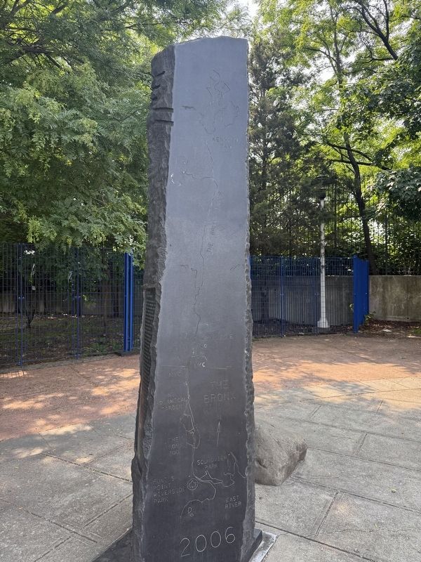

Regionally, this marker is in New York City. It is also in the American Northeast, in the Mid-Atlantic, and on the Eastern Seaboard. Globally, it is in the North Atlantic Region, North America, the Western Hemisphere, the Western World, and the Anglosphere. Historically, it finds itself in what was once New Netherland and also one of the original Thirteen Colonies.
Other nearby markers. At least 8 other markers are within walking distance of this marker: what's that box doing over there? (about 400 feet away, measured in a direct line); Lyons Square Playground (approx. 0.4 miles away); a different marker also named Lyons Square Playground (approx. half a mile away); Joseph Rodman Drake Park (approx. half a mile away); a different marker also named Lyons Square Playground (approx. half a mile away); Fufidio Triangle War Memorial (approx. half a mile away); Fufidio Triangle (approx. half a mile
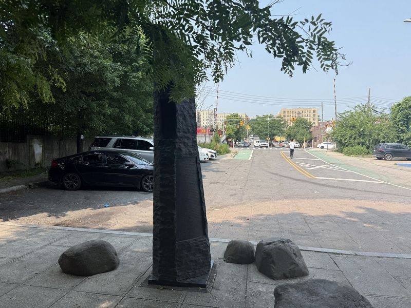
Photographed by Devry Becker Jones (CC0), June 6, 2025
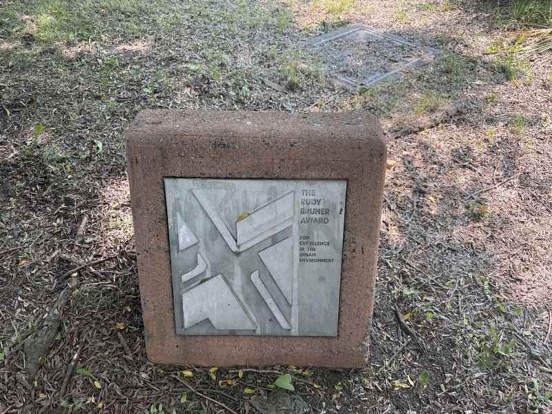
4. Signage inside of the park
The Rudy Bruner Award for Excellence in the Urban Environment
Credits. This page was last revised on June 8, 2025. It was originally submitted on June 8, 2025, by Devry Becker Jones of Washington, District of Columbia. This page has been viewed 198 times since then and 42 times this year. Photos: 1, 2, 3, 4. submitted on June 8, 2025, by Devry Becker Jones of Washington, District of Columbia.
