Parowan in Iron County, Utah — The American Mountains (Southwest)
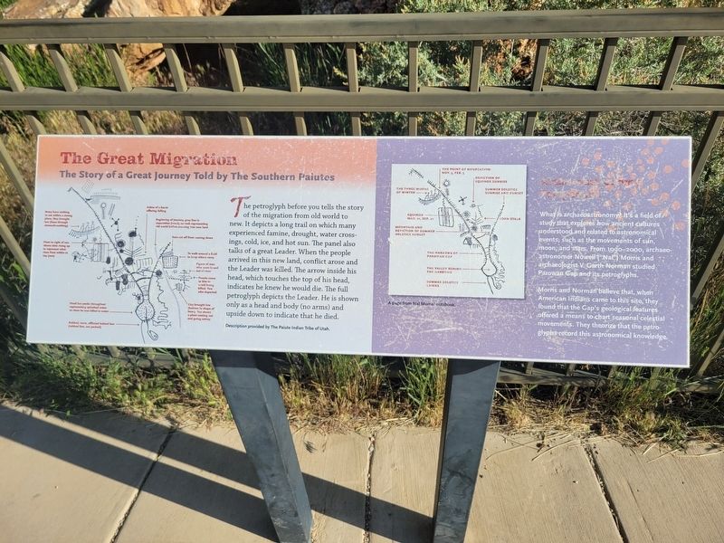
The Great Migration
The Story of a Great Journey Told by The Southern Paiutes
Photographed by Jeremy Snow, May 31, 2025
1. The Great Migration Marker
Archaeoastronomy Perspective
What is archaeoastronomy It's a field of study that explores how ancient cultures understood and related to astronomical events, such at the movements of sun, moon, and stars. From 1990-2000, archaeo-astronomer Nowell ("Nal") Morris and archaeologist V. Garth Norman studied Parowan Gap and its petroglyphs.
Morris and Norman believe that, when American Indians came to this site, they found that the Gap's geological features offered a means to chart seasonal celestial movements. They theorize that the petroglyphs record this astronomical knowledge.
Topics.
this page online
Location. 37° 54.566′ N, 112° 59.092′ W. Marker is in Parowan, Utah, in Iron County. It can be reached from West Gap Road. Marker is located along the sideway leading from the Parawon Gap parking lot to the petroglyphs. Touch for map. Marker is at or near this postal address: W Gap Road, Parowan UT 84761, United States of America. Touch for directions.

Regionally, this marker is in Utah’s Color Country. It is also in the American Mountain West and on the Colorado Plateau. Globally, it is in North America, the Rocky Mountains, the Western Hemisphere, the Western World, and the Anglosphere. Historically, it finds itself in what was once New Spain and also Mexico’s Alta California.
Other nearby markers. At least 8 other markers are within 8 miles of this marker, measured as the crow flies: Paiute Perspective (here, next to this marker); Parowan Gap Petroglyphs (a few steps from this marker); Hopi Perspective (a few steps from this marker); Art or Language? / How These Images Were Made
Photographed by Jeremy Snow, May 31, 2025
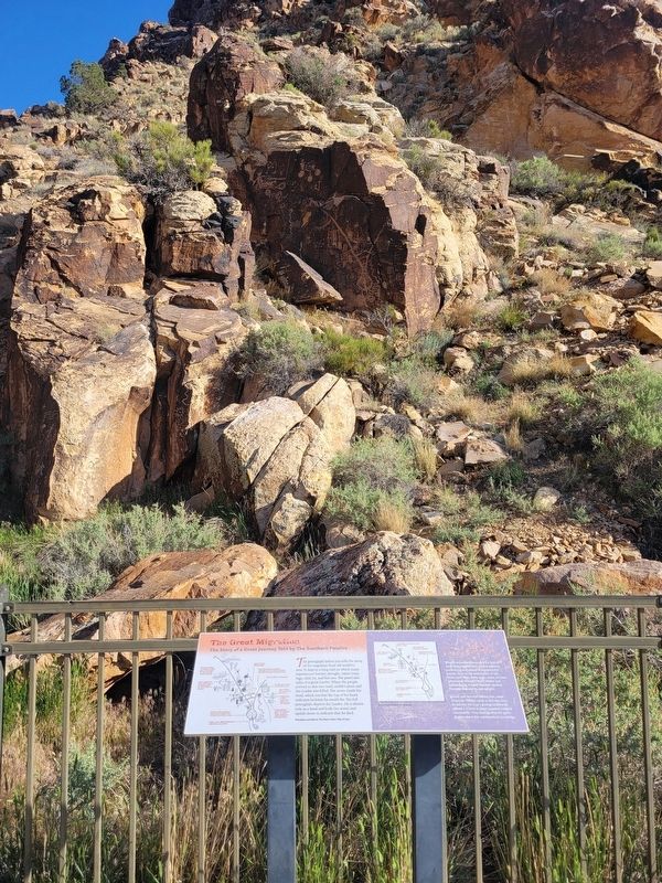
2. The Great Migration Marker
Photographed by Jeremy Snow, May 31, 2025
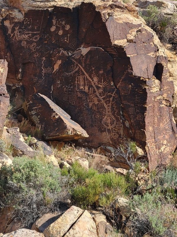
3. Nearby Petroglyph Panel depicted and described in the Marker
Credits. This page was last revised on June 9, 2025. It was originally submitted on June 9, 2025, by Jeremy Snow of Cedar City, Utah. This page has been viewed 128 times since then and 22 times this year. Photos: 1, 2, 3. submitted on June 9, 2025, by Jeremy Snow of Cedar City, Utah. • Andrew Ruppenstein was the editor who published this page.
