
Hunts Point in the Bronx in Bronx County, New York — The American Northeast (Mid-Atlantic)
Barretto Point Park
12.2 acres
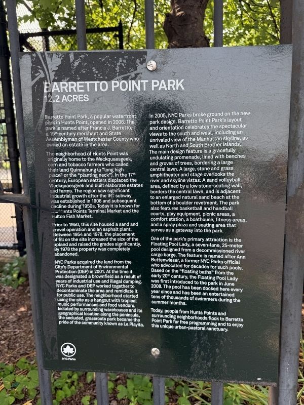
Barretto Point Park, a popular waterfront park in Hunts Point, opened in 2006. The park is named after Francis J. Barretto, a 19th century merchant and State Assemblyman of Westchester County who owned an estate in the area.
The neighborhood of Hunts Point was originally home to the Weckquaesgeek, corn and tobacco farmers who called their land Quinnahung (a "long high place" or the "planting neck"). In the 17th century, European settlers displaced the Weckquaesgeek and built elaborate estates and farms. The region saw significant industrial growth after the IRT subway was established in 1908 and subsequent decline during 1950s. Today it is known for the Hunts Point Terminal Market and the Fulton Fish Market.
Prior to 1950, this site housed a sand and gravel operation and an asphalt plant. Between 1954 and 1978, the placement of fill on the site increased the size of the upland and raised the grades significantly. By 1978 the property was completely abandoned.
NYC Parks acquired the land from the City's Department of Environmental Protection (DEP) in 2001. At the time it was designated a brownfield as a result
this page online
In 2005, NYC Parks broke ground on the new park design. Barretto Point Park's layout and orientation celebrates the spectacular views to the south and west, including an unrivaled view of the Manhattan skyline, as well as North and South Brother Islands. The main design feature is a gracefully undulating promenade, lined with benches and groves of trees, bordering a large central lawn. A large, stone and grass amphitheater and stage overlooks the river and skyline vistas. A sand volleyball area, defined by a low stone-seating wall, borders the central lawn, and is adjacent to an enlarged natural sand beach at the bottom of a boulder revetment. The park also features basketball and handball courts, play equipment, picnic areas,
One of the park's primary attraction is the Floating Pool Lady, a seven-lane, 25-meter pool designed from the decommissioned river cargo barge. The feature is named after Ann Buttenwieser, a former NYC Parks official who advocated for decades for such pools. Based on the "floating baths" from the early 20th century, the Floating Pool Lady was first introduced to the park in June 2008. The pool has been docked here every year since and has been an entertained tens of thousands swimmers during the summer months.
Today, people from Hunts Point and surrounding neighborhoods flock to Barretto Point Park for free programming and to enjoy this unique urban-pastoral sanctuary.
Erected by NYC Parks. (Marker Number 301.)
Topics and series. This historical marker is listed in these topic lists: Architecture • Environment • Industry & Commerce • Parks & Recreational Areas. In addition, it is included in the NYC Parks series list. A significant historical month for this entry is June 2008.
Location. 40° 48.371′ N, 73° 53.28′ W.

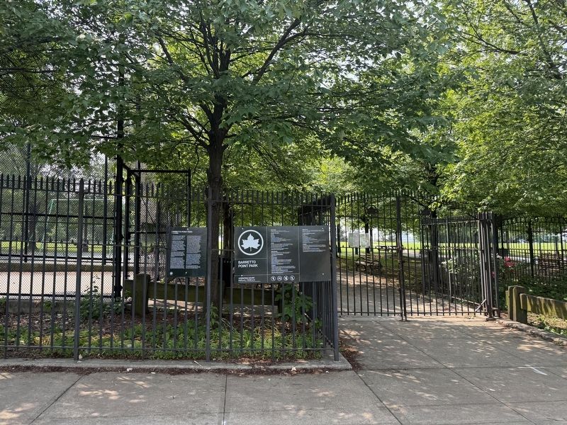
Regionally, this marker is in New York City. It is also in the American Northeast, in the Mid-Atlantic, and on the Eastern Seaboard. Globally, it is in the North Atlantic Region, North America, the Western Hemisphere, the Western World, and the Anglosphere. Historically, it finds itself in what was once New Netherland and also one of the original Thirteen Colonies.
Other nearby markers. At least 8 other markers are within walking distance of this marker: General Slocum Disaster (about 500 feet away, measured in a direct line); The Islands of "Barretto Bay" (about 500 feet away); Joseph Rodman Drake Park (approx. 0.4 miles away); Fufidio Triangle War Memorial (approx. half a mile away); Fufidio Triangle (approx. half a mile away); The Bronx River (approx. 0.8 miles away); Willis Avenue Bridge Stones (approx. 0.9 miles away); what's that box doing over there?
Photographed by Devry Becker Jones (CC0), June 6, 2025
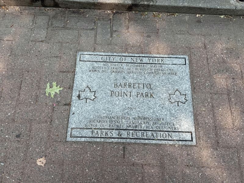
4. Dedication plaque on the grounds of the park
Credits. This page was last revised on June 9, 2025. It was originally submitted on June 9, 2025, by Devry Becker Jones of Washington, District of Columbia. This page has been viewed 196 times since then and 35 times this year. Photos: 1, 2, 3, 4. submitted on June 9, 2025, by Devry Becker Jones of Washington, District of Columbia.
