
Thorold in Niagara Region, Ontario — Central Canada (North America)
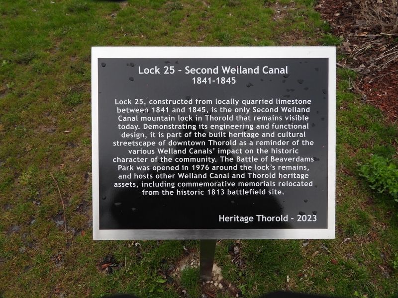
Lock 25 - Second Welland Canal 1841-1845
Photographed by Kevin Westell, April 26, 2025
1. Lock 25 - Second Welland Canal 1841-1845 Marker
Erected 2023 by Heritage Thorold.
Topics and series. This historical marker is listed in these topic lists: Parks & Recreational Areas • Waterways & Vessels. In addition, it is included in the The Welland Canals series list. A significant historical year for this entry is 1841.
Location. 43° 7.317′ N, 79° 12.037′ W. Marker is in Thorold, Ontario, in Niagara Region. It is on Sullivan Avenue. This sign is within Battle Of Beaverdams Park, along the walking trail. It is 100 yards south of the Battle Of Beaverdams
this page online

Regionally, this marker is on Ontario’s Golden Horseshoe and in Niagara Canada. It is also in Central Canada. Globally, it is in North America, on the Great Lakes, in the Western Hemisphere, in the Western World, and in the Anglosphere. Historically, it finds itself in what was once a British colony, the Viceroyalty of New France, the Haudenosaunee (Iroquois) Confederacy, and Rupert’s Land.
Other nearby markers. At least 8 other markers are within walking distance of this marker: The Founding of Thorold (here, next to this marker); The 1827 Stone (within shouting distance of this marker); The JB Stone (within shouting distance of this marker); In Memory of John Bean, Ph.D., M.D. (within shouting distance of this marker); In Memory of Unknown American Soldiers (about 90 meters away, measured in a direct line); Beaver Dams (about 90 meters away); City of Thorold Time Capsule (about 90 meters away); Laura Ingersoll Secord (about
Photographed by Kevin Westell, April 26, 2025
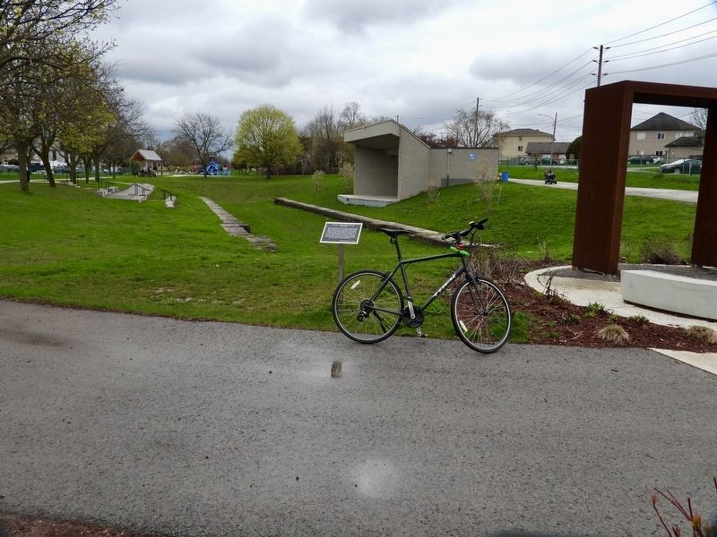
2. Lock 25 - Second Welland Canal 1841-1845 - Marker in context

Photographed by Kevin Westell, April 26, 2025
3. Lock 25 - west lock wall
Foreground is the recess for the downstream lock gate door; the gate door hinge was located here. They left most of the lock chamber full of earth; this canal could handle boats of draft 3 metres (10 feet).
Credits. This page was last revised on June 10, 2025. It was originally submitted on June 9, 2025, by Kevin Westell of St. Catharines, Ontario. This page has been viewed 118 times since then and 20 times this year. Photos: 1, 2. submitted on June 9, 2025, by Kevin Westell of St. Catharines, Ontario. 3. submitted on June 10, 2025, by Kevin Westell of St. Catharines, Ontario. • Andrew Ruppenstein was the editor who published this page.
