
Near Kulm in Lamoure County, North Dakota — The American Midwest (Upper Plains)
Whitestone Hill Battlefield State Historic Site
Photographed by Connor Olson, June 15, 2021
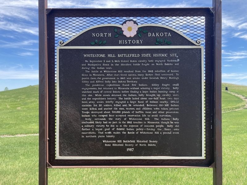
1. Whitestone Hill Battlefield State Historic Site Marker
The battle at Whitestone Hill resulted from the 1862 rebellion of Santee Sioux in Minnesota. After short-lived success, many Santee fled westward. To punish them, the government in 1863 sent armies under Generals Henry Hastings Sibley and Alfred Sully into Dakota Territory.
The ponderous expeditions found few Indians. Sibley fought small engagements, but returned to Minnesota without winning a major victory. Sully searched much of central Dakota before finding a large Indian hunting camp at this site. While scouts detained the Indians, Sully brought up cavalry units and the expedition's battery. The battle lasted about one-half hour: two days later, army scouts briefly engaged a large band of Indians nearby. Official statistics list 20 soldiers killed and 38 wounded. Between 150-300 Indians were killed, and another 156 men, women, and children were taken prisoner. Troops destroyed about 500,000 pounds of buffalo meat and other possessions.
this page online
Irony surrounds the story of Whitestone Hill. The Indians Sully confronted likely had no part in the 1862 troubles in Minnesota; though he won a military victory, he did so at the expense of innocent people. Sully did further a larger goal of federal Indian policy -- forcing the Sioux onto reservations." That result makes the Battle of Whitestone Hill a pivotal event in northern plains history.
Erected 1987 by Whitestone Hill Battlefield Historical Society; State Historical Society of North Dakota.
Topics. This historical marker is listed in these topic lists: War, US Civil • Wars, US Indian. A significant historical date for this entry is September 3, 1863.
Location. 46° 10.128′ N, 98° 51.407′ W. Marker is near Kulm, North Dakota, in Lamoure County. It can be reached from 73rd Avenue Southeast near 86th Avenue Southeast. The marker is located in Whitestone Hill State Historic Site. Touch for map. Marker is in this post office area: Kulm ND 58456, United States of America. Touch for directions.

Regionally, this marker is in North Dakota’s Drift Prairie.
Photographed by Connor Olson, June 15, 2021
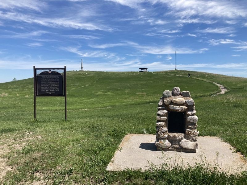
2. Marker is on the left and the battlefield monument can be seen in the background
Other nearby markers. At least 2 other markers are within walking distance of this marker: In Memory of the Sioux Indians (here, next to this marker); In Memory of the Soldiers (about 400 feet away, measured in a direct line).
Also see . . .
1. Whitestone Hill State Historic Site. (Submitted on June 20, 2021, by Connor Olson of Menomonee Falls, Wisconsin.)
2. Battle of Whitestone Hill. (Submitted on June 20, 2021, by Connor Olson of Menomonee Falls, Wisconsin.)
3. Whitestone Hill - National Park Service - Civil War. (Submitted on June 9, 2025, by Mike McKeown of Baltimore, Maryland.)
Photographed by Connor Olson, June 15, 2021
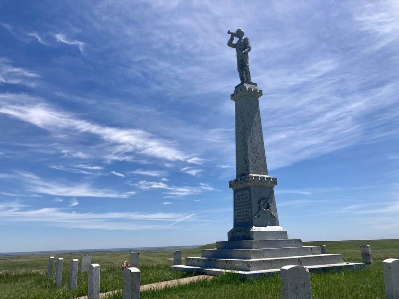
3. Whitestone Hill Battle Monument
Credits. This page was last revised on June 17, 2025. It was originally submitted on June 20, 2021, by Connor Olson of Menomonee Falls, Wisconsin. This page has been viewed 899 times since then and 71 times this year. Last updated on June 9, 2025, by Mike McKeown of Baltimore, Maryland. Photos: 1, 2, 3. submitted on June 20, 2021, by Connor Olson of Menomonee Falls, Wisconsin. • J. Makali Bruton was the editor who published this page.
