Van Buren in Carter County, Missouri — The American Midwest (Upper Plains)
Van Buren
Photographed by Craig Swain, August 29, 2010
1. Van Buren Marker
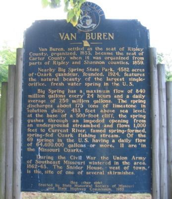
Van Buren, settled as the seat of Ripley County, organized, 1833, became the seat of Carter County when it was organized from parts of Ripley and Shannon counties, 1859.
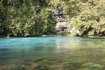
Nearby Big Spring State Park, 4582 acres of Ozark grandeur, founded 1924, features the natural beauty of the largest single-orifice, fresh water spring in the U.S.
Big Spring has a maximum flow of 840 million gallons every 24 hours and a daily average of 250 million gallons. The spring discharges about 175 tons of limestone in solution daily. 433 feet above sea level, at the base of a 500-foot cliff, the spring gushes through an impeded opening from an underground streambed and flows 1,000 feet into Current River, famed spring-formed, spring-fed Ozark fishing stream. Of the 69 springs in the U.S. having a dailyflow of 64,600,000 gallons or more, 11 are in the Missouri Ozarks.
During the Civil War the Union Army of Southeast Missouri wintered in the area 1862-63. The Snider House, west of town is the site of one of several skirmishes.
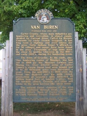
Carter County, whose main industries are limbering and recreation, is almost evenly divided by Current River. Called La
this page online
The town of Grandin, to the south, once-time lumbering center of Missouri, was laid out in 1888 by the Missouri Lumber and Mining Co. Over 100,000 acres of Carter County's virgin forest land were bought and 15 to 20 thousand acres were harvested a year. From the mid-1890's to 1909 when the forest was depleted and the mills closed, production at the Grandin's mills exceeded 60 million board feet of lumber a year. With the sawmills closed, Grandin and other mill towns in the area became like ghost towns.
The natural forest resource of the area is being restored through local, state, and national effort. Much of Carter County lies in Clark National Forest, founded 1933-37.
Erected 1955 by State Historical Society of Missouri and State Highway Commission.
Topics and series. This historical marker is listed in these topic lists:
Photographed by Craig Swain, August 29, 2010
2. Reverse of Marker
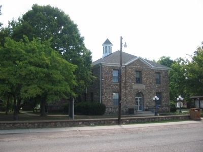
Location. 36° 59.708′ N, 91° 0.873′ W. Marker is in Van Buren, Missouri, in Carter County. It is at the intersection of Main Street (Business U.S. 60) and Oliver Street, on the right when traveling north on Main Street. Located in front of the Carter County Courthouse. Touch for map. Marker is at or near this postal address: 402 Main St, Van Buren MO 63965, United States of America. Touch for directions.

Regionally, this marker is in Southeast Missouri. It is also in the American Ozarks, in the Lewis & Clark Corridor, and in the Corn Belt. Globally, it is in North America, the Western Hemisphere, the Western World, and the Anglosphere. Historically, it finds itself in what was once the territory of the Mississippian Culture, the Louisiana Purchase, and the Antebellum South.
Other nearby markers. At least 7 other markers are within 13 miles of this marker, measured as the crow flies: Carter County Veterans Memorial (a few steps
Photographed by Craig Swain, August 29, 2010
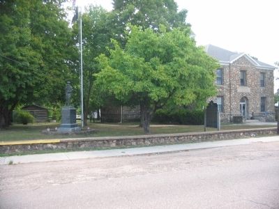
3. County World War I Memorial, Marker, and Courthouse
Another marker is no longer nearby. The Ancient Ozarks (was approx. 12.8 miles away but has been confirmed missing).
Regarding Van Buren. Clark National Forest, mentioned on the marker, was consolidated into Mark Twain National Forest in the 1970s. Also Big Springs State Park was incorporated into the Ozark National Scenic Riverways, administered by the National Park Service, in the late 1970s.
Photographed by Craig Swain, August 29, 2010
4. Courthouse Cornerstone
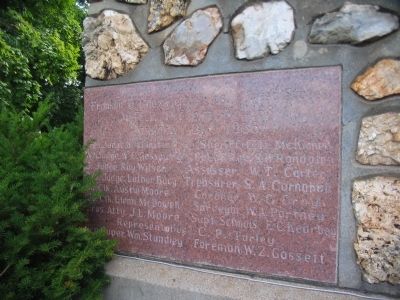
The cornerstone indicates the new building was W.P.A. Project No. 168. January 2, 1936
Photographed by Craig Swain, August 29, 2010
5. Carter County Courthouse
Photographed by Craig Swain, August 29, 2010
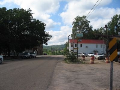
6. Main Street Van Buren
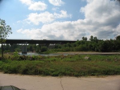
The old US Highway 60 passed directly through town and crossed the Current River at the end of Main Street.
Photographed by Craig Swain, August 29, 2010
7. Highway 60 (By-Pass) Bridge over Current River
Photographed by Craig Swain, August 28, 2010
8. Big Springs
Credits. This page was last revised on June 27, 2025. It was originally submitted on September 25, 2010, by Craig Swain of Leesburg, Virginia. This page has been viewed 2,571 times since then and 101 times this year. Last updated on June 12, 2025, by Edward Troxel of Creal Springs, Illinois. Photos: 1, 2, 3, 4, 5, 6, 7, 8. submitted on September 25, 2010, by Craig Swain of Leesburg, Virginia. • Devry Becker Jones was the editor who published this page.
