Murray in Carrying Place in Hastings County, Ontario — Central Canada (North America)
Bay of Quinte Carrying Place
⎯⎯⎯
Le Portage de la Baie de Quinte
Photographed by Tim Boyd, June 8, 2025
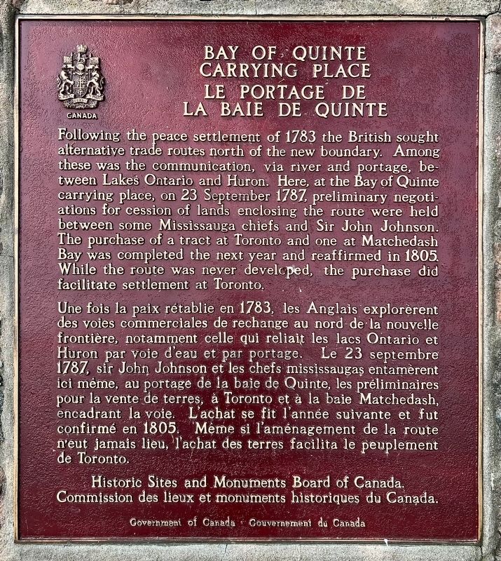
1. Bay of Quinte Carrying Place Marker

Following the peace settlement of 1783 the British sought alternative trade routes north of the new boundary. Among these was the communication, via river and portage, between Lakes Ontario and Huron. Here, at the Bay of Quinte carrying place, on 23 September 1787, preliminary negotiations for cession of lands enclosing the route were held between some Mississauga chiefs and Sir John Johnson. The purchase of a tract at Toronto and one at Matchedash Bay was completed the next year and reaffirmed in 1805. While the route was never developed, the purchase did facilitate settlement at Toronto.
Une fois la paix rétablie en 1783, les Anglais explorèrent des voies commerciales de rechange au nord de la nouvelle frontière, notamment celle qui reliait les lacs Ontario et Huron par voie d'eau et par portage. Le 23 septembre 1787, sir John Johnson et les chefs mississaugas entamèrent ici même, au portage de la baie de Quinte, les préliminaires encadrer le de terres a toronto a la baie Matchedash encadrant la voie. confirmé en 1805. Même si l'aménagement
this page online
Erected by Historical Sites and Monuments Board of Canada.
Topics and series. This historical marker is listed in these topic lists: Indigenous Peoples and Communities • Settlements & Settlers • Waterways & Vessels. In addition, it is included in the Canada, Historic Sites and Monuments Board series list. A significant historical year for this entry is 1787.
Location. 44° 2.923′ N, 77° 34.914′ W. Marker is in Carrying Place, Ontario, in Hastings County. It is in Murray. It is at the intersection of Loyalist Parkway and County Road 64, on the right when traveling south on Loyalist Parkway. Touch for map. Marker is at or near this postal address: 4 Old Portage Road, Carrying Place ON K0K 1L0, Canada. Touch for directions.

Regionally, this marker is in Eastern Ontario and specifically in Southeastern Ontario. It is also in Central Canada. Globally, it is in North America, on the Great Lakes, in the Western Hemisphere, in the Western World, and in the Anglosphere. Historically, it finds itself in what was once a British colony,
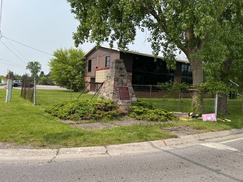
Photographed by Tim Boyd, June 8, 2025
2. Bay of Quinte Carrying Place / Le Portage de la Baie de Quinte Marker
Other nearby markers. At least 8 other markers are within 6 kilometers of this marker, measured as the crow flies: The Important Connection / Un lien important (approx. 1.5 kilometers away); Murray Canal / Le canal Murray (approx. 1.5 kilometers away); Site of Trenton Cooperage Mills (approx. 5.5 kilometers away); Hugh O'Neil Friendship Garden (approx. 5.6 kilometers away); Champlain's War Party, 1615 (approx. 5.7 kilometers away); O. G. "Buster" Alyea Memorial Park (approx. 5.7 kilometers away); Liberation of Holland 45th Anniversary (approx. 5.7 kilometers away); War Memorial Cenotaph (approx. 5.8 kilometers away). Touch for a list and map of all markers in Carrying Place.
Also see . . . Carrying Place of the Bay of Quinte National Historic Site. Government of Canada website entry (Submitted on August 9, 2025, by Larry Gertner of New York, New York.)
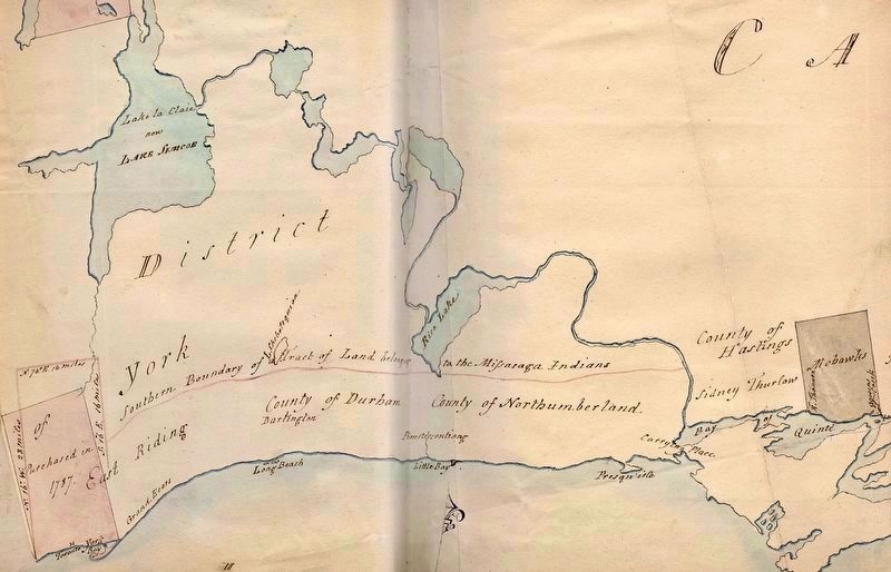
via Toronto Public Library (public domain)
3. Map ca 1790s, showing the Bay of Quinte Carrying Place and early Indigenous land surrenders
Credits. This page was last revised on August 9, 2025. It was originally submitted on June 14, 2025, by Tim Boyd of Hamilton, Ontario. This page has been viewed 128 times since then and 24 times this year. Photos: 1, 2, 3. submitted on June 14, 2025, by Tim Boyd of Hamilton, Ontario. • Andrew Ruppenstein was the editor who published this page.
