Carolina Beach in New Hanover County, North Carolina — The American South (South Atlantic)
Joseph Ryder Lewis Jr. Civil War Park

Photographed by Evan Dwyer, January 24, 2025
1. Joseph Ryder Lewis Jr. Civil War Park Marker
Welcome to the Joseph Ryder Lewis Jr. Civil War Park. Mr. Lewis (1926-2010) was a Carolina Beach resident, U.S. Army veteran, and member of the Federal Point Historic Preservation Society. Keenly interested in Cape Fear history, he donated 12 acres that included Confederate earthworks of the so-called "Sugar Loaf lines" to the Town of Carolina Beach for a public Civil War park.
The Sugar Loaf lines served as auxiliary defenses to Fort Fisher 4½ miles to the south. They also helped guard Wilmington, North Carolina, the South's main seaport for maritime trade with Europe, and by late 1864 the Confederacy's most important city.
Confederate commerce vessels, called blockade-runners, smuggled vital military supplies for General Robert E. Lee's forces in Virginia, as well as good for civilians, through the U.S. Navy's blockade of Southern seaports. Great Britain became the Confederacy's major trading partner.
To protect the Confederacy's "life preserving" business, engineers built a vast network of forts and batteries at the mouth of the Cape Fear River and along the beaches and river shores in both New Hanover and
this page online
As Union forces prepared to attack Fort Fisher in the autumn of 1864, Maj. Gen. W.H.C. Whiting, commander of the Department of the Cape Fear, expanded existing defenses to meet the serious threat. He selected a "strong position" on Federal Point, stretching from he headwaters of Myrtle Grove Sound (modern Carolina Beach canal) to Sugar Loaf Hill on the east bank of the Cape Fear River, for an extensive line of fieldworks. They would play an important role in the Wilmington Campaign, 1864-1865.
The Joseph Ryder Lewis Jr. Civil War Park was made possible by the Town of Carolina Beach, the Federal Point Historic Preservation Society, and the following contributors:
Brunswick Civil War Round Table
Cape Fear Civil War Round Table
[Carolina Beach] Island Gazette
Dr. Chris E. Fonvielle Jr.
Paul Laird
Joseph Ryder Lewis Jr. family
Daniel Ray Norris, SlapDash Publishing
SEPI Engineering and Construction
Sons of Union Veterans of the Civil War Charitable Foundation, Milford, Ohio
Volunteers from the N.C. Department of Natural and Cultural Resources
Volunteers from the Federal Point Historic Preservation Society
Volunteers from the Fort Fisher State Historic Site and Underwater Archaeology Branch
For additional information contact:
Federal Point Historic Preservation Society
1121-A North Lake Park Boulevard
Carolina Beach, NC 28428
(910) 458-0502
[email protected]
(captions)
Blockade-runner Colonel Lamb
Atlas to Accompany the Official Records of the Union and Confederate Armies of the War of the Rebellion
Erected 2021

Photographed by Evan Dwyer, January 24, 2025
2. Joseph Ryder Lewis Jr. Civil War Park Entrance
Topics. This historical marker is listed in these topic lists: Parks & Recreational Areas • War, US Civil. A significant historical year for this entry is 1864.
Location. 34° 2.7′ N, 77° 53.788′ W. Marker is in Carolina Beach, North Carolina, in New Hanover County. It can be reached from North Lake Park Boulevard (U.S. 421) 0.2 miles north of Bennet Lane, on the right when traveling north. Located north of the Publix Super Market Commons at Federal Point. Touch for map. Marker is at or near this postal address: 1018 N Lake Park Blvd, Carolina Beach NC 28428, United States of America. Touch for directions.

Regionally, this marker is in the Coastal Plain and on the Cape Fear Coast. It is also in the American South, specifically in the Upper South, in the Tidewater, and on the Eastern Seaboard. Globally, it is in the North Atlantic Region, North America, the Western Hemisphere, the Western World, and the Anglosphere. Historically, it finds itself in what was once the territory of the Mississippian Culture, one of the original Thirteen Colonies, one of the Confederate

Photographed by Via, unknown
3. Joseph Ryder Lewis Jr. Civil War Park
Town of Carolina Beach website entry:
Click for more information.
Click for more information.
Other nearby markers. At least 8 other markers are within walking distance of this marker: Battlefield of Sugar Loaf (a few steps from this marker); We are strongly entrenched here... (within shouting distance of this marker); To close the port of Wilmington... (about 300 feet away, measured in a direct line); I hope we can hold Wilmington (about 300 feet away); Such parts of the Sugar Loaf line... (about 300 feet away); For a little while it was a lively and interesting fight (about 300 feet away); Sugar Loaf Line (about 600 feet away); Civil War Fortifications (approx. 0.3 miles away). Touch for a list and map of all markers in Carolina Beach.
Regarding Joseph Ryder Lewis Jr. Civil War Park. Additional preserved segments of this earthwork line are in the Carolina Beach Village and in Carolina Beach State Park. An associated earthwork gun battery is in Forest By The Sea condominiums' parking lot. Note that during the Civil War, Federal Point was renamed Confederate Point.
Also see . . . Saving History Saturday: Joseph Ryder Lewis Jr. Civil War Park. Emerging Civil War
Photographed by Evan Dwyer, January 24, 2025
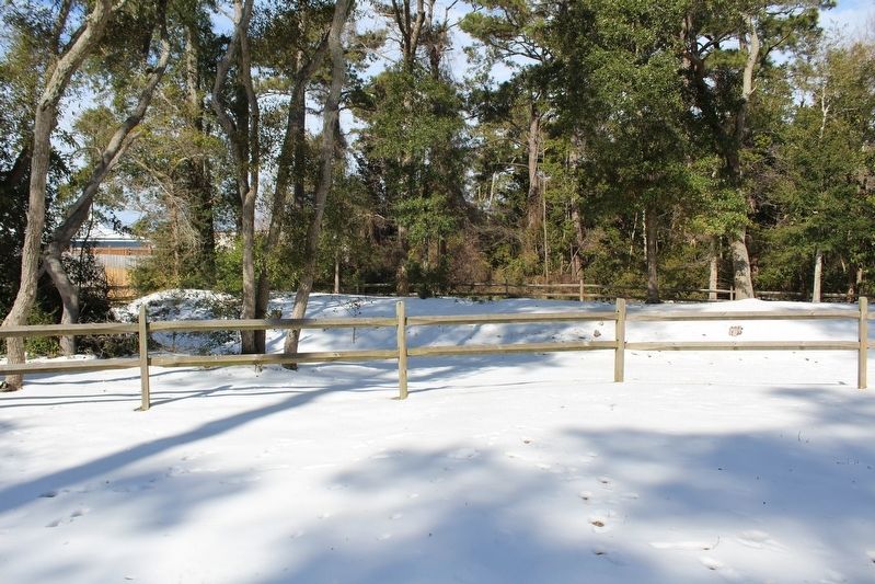
4. Earthworks within the Park
Credits. This page was last revised on March 12, 2026. It was originally submitted on June 15, 2025, by Evan Dwyer of Richmond, Virginia. This page has been viewed 684 times since then and 277 times this year. Photos: 1, 2. submitted on June 15, 2025, by Evan Dwyer of Richmond, Virginia. 3. submitted on March 12, 2026, by Larry Gertner of New York, New York. 4. submitted on June 15, 2025, by Evan Dwyer of Richmond, Virginia. • Bernard Fisher was the editor who published this page.
