Near Milner in Lamar County, Georgia — The American South (South Atlantic)
Old Alabama Road
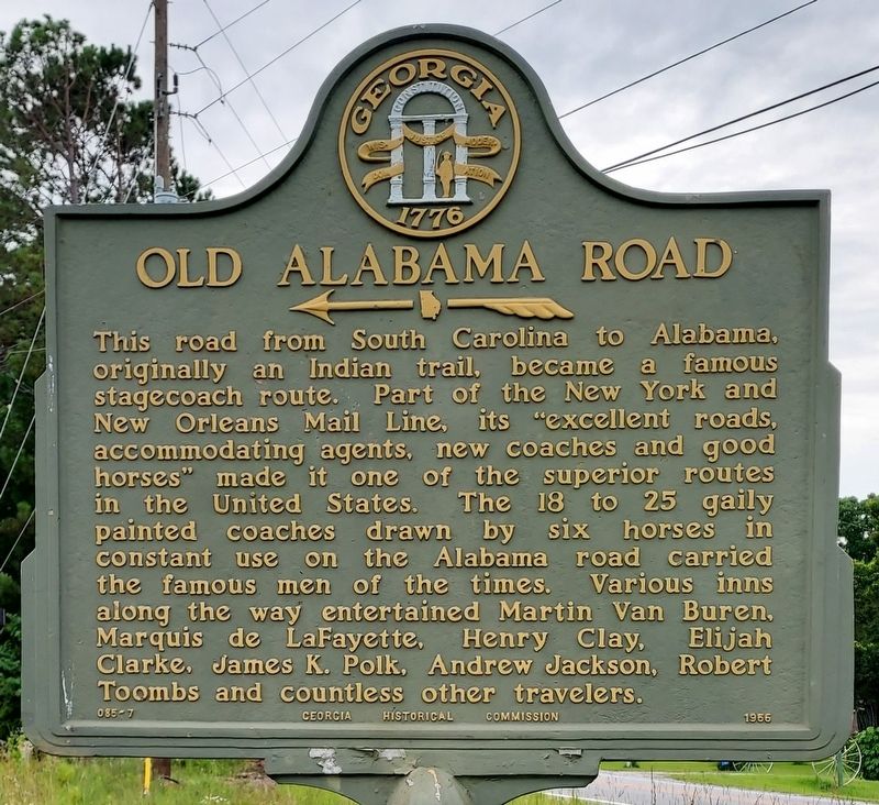
Photographed by John C. Carter, June 8, 2025
1. Old Alabama Road Marker
Erected 1956 by Georgia Historical Commission. (Marker Number 085-7.)
Topics. This historical marker is listed in these topic lists: Indigenous Peoples and Communities • Industry & Commerce • Roads & Vehicles • Settlements & Settlers.
Location. 33° 7.133′ N, 84° 10.592′ W. Marker is near Milner, Georgia, in Lamar County. It is at the intersection of Liberty Hill Road and Lawrence Road, on the right when traveling east on Liberty Hill Road. Touch for map. Marker is in
this page online

Regionally, this marker is in the Piedmont. It is also in the American South and specifically in the Deep South. Globally, it is in North America, the Western Hemisphere, the Western World, and the Anglosphere. Historically, it finds itself in what was once the territory of the Mississippian Culture, one of the original Thirteen Colonies, one of the Confederate States of America, and the Antebellum South.
Other nearby markers. At least 8 other markers are within 5 miles of this marker, measured as the crow flies: Confederate Cemetery (about 400 feet away, measured in a direct line); Confederate Hospital (approx. 1.1 miles away); Federals at Barnesville (approx. 3.9 miles away); Gachet Home (approx. 4.4 miles away); Barnesville Railroad Depot (approx. 4.6 miles away); a different marker also named Confederate Hospital (approx. 4.6 miles away); Barnesville Post Office (approx. 4.6 miles away); Women of the Confederacy (approx. 4.6 miles away). Touch for a list and map of all markers in Milner.
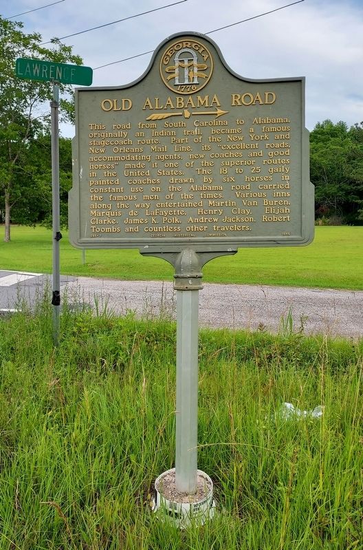
Photographed by John C. Carter, June 8, 2025
2. Old Alabama Road Marker
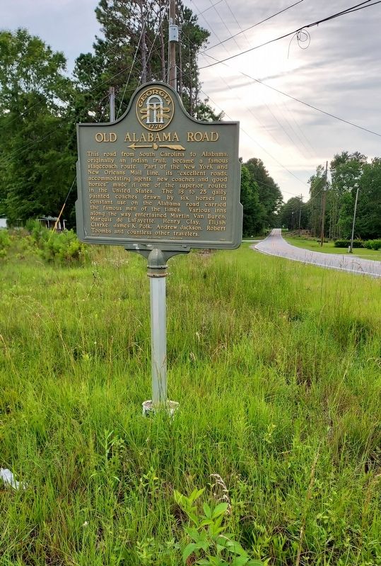
Photographed by John C. Carter, June 8, 2025
3. Old Alabama Road Marker

Photographed by John C. Carter, June 8, 2025
4. Old Alabama Road Marker
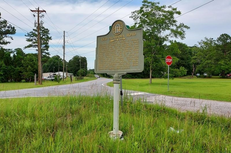
Photographed by John C. Carter, June 8, 2025
5. Old Alabama Road Marker
Credits. This page was last revised on June 19, 2025. It was originally submitted on June 19, 2025, by John C. Carter of St. Petersburg, Florida. This page has been viewed 185 times since then and 89 times this year. Photos: 1, 2, 3, 4, 5. submitted on June 19, 2025, by John C. Carter of St. Petersburg, Florida. • Bernard Fisher was the editor who published this page.
