Fort Totten in Queens in Queens County, New York — The American Northeast (Mid-Atlantic)
Parade Ground
Constructed in 1867
Original use: Parade Ground
Current uses: Special Events, Festivals, General Recreation
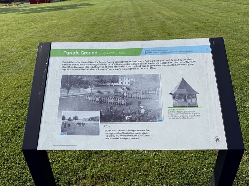
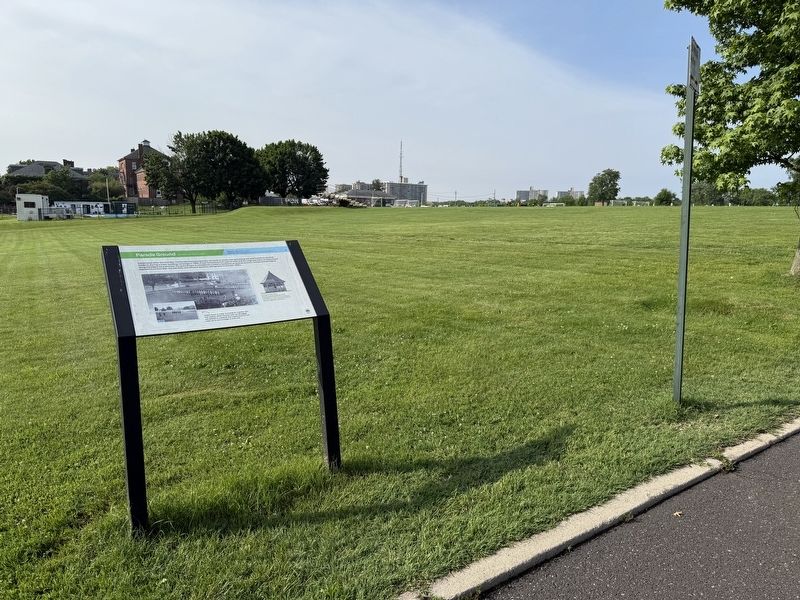
Established after the Civil War, the Parade Ground originally ran north to south, facing Building 422 and flanked by the Post Gardens. During a major building campaign in 1906, it was reoriented from east to west and the large oak trees currently found along the edges were planted. The ground here is considered a historic landmark as several sections contain archaeological deposits from Civil War-era barracks and officers' quarters dating back to the late 1800s.
[Captions:]
Living Landmarks
Both the octagonal gazebo in the northeastern corner and the in-ground pool that was once used by the military are also registered landmarks.
Soldiers stand in muster and ready for inspection from their superior officer. Decades later, this photograph was featured on a postcard that soldiers stationed here could use to send messages to loved ones.
Erected by NYC Parks.
Topics and series. This historical marker is listed in these topic lists: Anthropology & Archaeology • Forts and Castles • Parks & Recreational Areas.
this page online
Location. 40° 47.596′ N, 73° 46.518′ W. Marker is in Queens, New York, in Queens County. It is in Fort Totten. It is on Weaver Avenue west of Shore Road, on the right when traveling east. Touch for map. Marker is at or near this postal address: 418 Weaver Ave, Bayside NY 11359, United States of America. Touch for directions.

Regionally, this marker is in New York City and on Long Island. It is also in the American Northeast, in the Mid-Atlantic, and on the Eastern Seaboard. Globally, it is in the North Atlantic Region, North America, the Western Hemisphere, the Western World, and the Anglosphere. Historically, it finds itself in what was once New Netherland and also one of the original Thirteen Colonies.
Other nearby markers. At least 8 other markers are within walking distance of this marker: 422 Weaver Ave. (about 400 feet away, measured in a direct line); Fort Totten (about 600 feet away); 304 Shore Road (about 700 feet away); 208 Totten Ave. (about 700 feet away); New York City Fire Department September 11 Memorial
Credits. This page was last revised on June 19, 2025. It was originally submitted on June 19, 2025, by Devry Becker Jones of Washington, District of Columbia. This page has been viewed 101 times since then and 29 times this year. Photos: 1, 2. submitted on June 19, 2025, by Devry Becker Jones of Washington, District of Columbia.
