Fort Totten in Queens in Queens County, New York — The American Northeast (Mid-Atlantic)
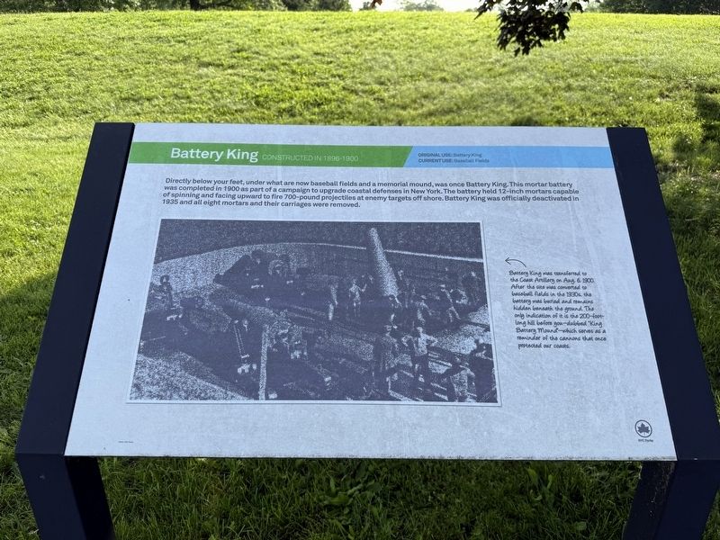
Battery King
Constructed in 1896-1900
Original use: Battery King
Current use: Baseball Fields
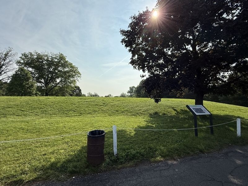
Directly below your feet, under what are now baseball fields and a memorial mound, was once Battery King. This mortar battery was completed in 1900 as part of a campaign to upgrade coastal defenses in New York. The battery held 12-inch mortars capable of spinning and facing upward to fire 700-pound projectiles at enemy targets off shore. Battery King was officially deactivated in 1935 and all eight mortars and their carriages were removed.
[Caption:]
Battery King was transferred to the Coast Artillery on Aug. 6, 1900. After the site was converted to baseball fields in the 1930s, the battery was buried and remains hidden beneath the ground. The only indication of it is the 200-foot-long hill before you—dubbed "King Battery Mound"—which serves as a reminder of the cannons that once protected our coasts.
Erected by NYC Parks.
Topics and series. This historical marker is listed in these topic lists: Forts and Castles • Parks & Recreational Areas • Sports • Waterways & Vessels. In addition, it is included in the NYC Parks series list. A significant historical date for this entry is August 6, 1900.
Location. 40° 47.683′ N,
this page online

Regionally, this marker is in New York City and on Long Island. It is also in the American Northeast, in the Mid-Atlantic, and on the Eastern Seaboard. Globally, it is in the North Atlantic Region, North America, the Western Hemisphere, the Western World, and the Anglosphere. Historically, it finds itself in what was once New Netherland and also one of the original Thirteen Colonies.
Other nearby markers. At least 8 other markers are within walking distance of this marker: 502 Lee Road (about 300 feet away, measured in a direct line); 638 Totten Ave. (about 700 feet away); Thorne-Wilkins Cemetery (approx. 0.2 miles away); 207 Totten Ave. (approx. 0.2 miles away); 422 Weaver Ave. (approx. 0.2 miles away); 208 Totten Ave. (approx. 0.2 miles away); Fort Totten (approx. 0.2 miles away); Parade Ground (approx. 0.2 miles
Other markers no longer nearby. Fort Totten Park (was about 600 feet away but has been permanently removed); Main Magazine of Fort Totten (was about 700 feet away but has been permanently removed).
Credits. This page was last revised on June 19, 2025. It was originally submitted on June 19, 2025, by Devry Becker Jones of Washington, District of Columbia. This page has been viewed 130 times since then and 33 times this year. Photos: 1, 2. submitted on June 19, 2025, by Devry Becker Jones of Washington, District of Columbia.
