
Woodrow on Staten Island in Richmond County, New York — The American Northeast (Mid-Atlantic)
Harris Brothers Park
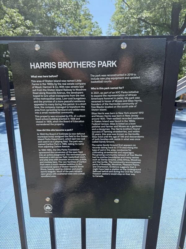
What was here before?
This area of Staten Island was named Little Farms in the 1900s by the real estate company of Wood, Harmon & Co. With new streets laid out from the Staten Island Railway to Woodrow Road along Rossville Avenue, the developers hoped to lure urban transplants from the rest of the metropolitan area. Low-cost bungalows and the promise of a more peaceful existence appealed to many during this period. In a short time, the company managed to transform the area from sprawling farmland and wilderness into a small residential community.
This property was occupied by P.S. 47, a short-lived school building erected in 1928 and closed in 1939, when the Board of Education surrendered the property.
How did this site become a park?
In 1940 the Board of Estimate (a now-defunct municipal body) assigned the field to the Staten Island Parks Department, which laid new sod and used it as a playing field. The park was named Carlton Park in 1985, taking its name from adjoining Carlton Avenue.
In 1993-1994, the City Parks Foundation sponsored the conversion of the open field into an active playground. The renovated
this page online
The park was reconstructed in 2019 to include new play equipment and updated basketball courts.
Who is this park named for?
In 2021, as part of an NYC Parks initiative to expand the representation of African Americans honored in parks, the park was renamed in honor of Moses and Silas Harris, founders of the Harrisville community of free Blacks located on the south side of Staten Island.
Silas Harris was born in New York around 1810 and Moses Harris was born in New Jersey around 1820. Their earliest recorded residence in Staten Island was found in the 1850s Federal Census. Silas is listed as a boot polisher and farmer and Moses as a gardener and a clergyman. The Harris brothers found success in farming strawberries, and within 25 years, this area was known
The name Sandy Ground first appears on records dating back to 1779 describing the type of soil in the area, conducive for cultivating strawberries and asparagus. The growing community network of free Blacks had no precise boundaries and many names such as Sandy Ground, Little Africa, Woodrow, and Harrisville. The community encompassed parts of Rossville, Woodrow, Pleasant Plains, and Charleston. Evidence suggests that it might have been a station on the Underground Railroad before and during the Civil War where freedom seekers would stop on their way to Canada.
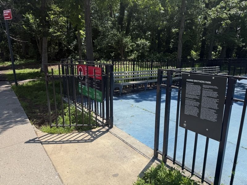
Erected by NYC Parks. (Marker Number 301.)
Topics and series. This historical marker is listed in these topic lists: Abolition & Underground RR • African Americans • Parks & Recreational Areas • Settlements & Settlers. In addition, it is included in the NYC Parks series list. A significant historical year for this entry is 1928.
Location. 40° 32.005′ N, 74° 12.135′ W. Marker is on Staten Island, New York, in Richmond County.
Photographed by Devry Becker Jones (CC0), June 8, 2025
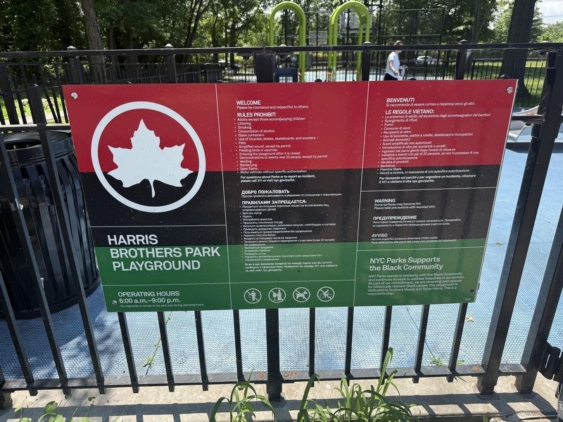
3. NYC Parks signage Harris Brothers Park Playground
This color scheme indicates that the park was included in the project to share Afrocentric stories in New York City's parks.

Regionally, this marker is in New York City. It is also in the American Mid-Atlantic. Globally, it is in North America and the Western World. Historically, it finds itself in what was once one of the original Thirteen Colonies.
Other nearby markers. At least 8 other markers are within 2 miles of this marker, measured as the crow flies: 5910 Amboy Road (approx. half a mile away); Bishop Francis Asbury (approx. 0.6 miles away); Woodrow Methodist Church (approx. 0.7 miles away); Pleasant Plains Memorial (approx. one mile away); Our Veterans Memorial (approx. 1.2 miles away); Welcome to the Clay Pit Ponds Bird Conservation Area (approx. 1.3 miles away); September 11, 2001 Memorial (approx. 1.3 miles away); Battle of the Bulge Memorial (approx. 1.3 miles away). Touch for a list and map of all markers in Staten Island.

Photographed by Devry Becker Jones (CC0), July 4, 2025
4. Plaque on the Staten Island Ferry
Staten Island Community founded by free people of color
Circa 1828
In the 19th century, it served as a stop on the Underground Railroad.
The Staten Island Ferry is proud to honor the history of the African-American community of Staten Island by sharing its name.
,br>
Credits. This page was last revised on July 12, 2025. It was originally submitted on June 19, 2025, by Devry Becker Jones of Washington, District of Columbia. This page has been viewed 141 times since then and 24 times this year. Photos: 1, 2, 3. submitted on June 19, 2025, by Devry Becker Jones of Washington, District of Columbia. 4. submitted on July 12, 2025, by Devry Becker Jones of Washington, District of Columbia.
