Northwest in Virginia Beach, Virginia — The American South (Mid-Atlantic)
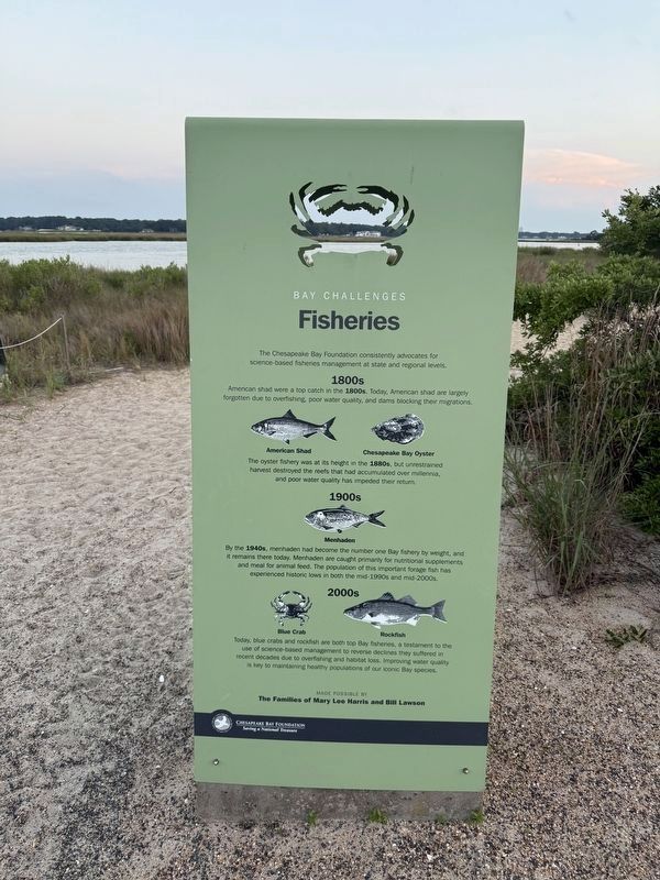
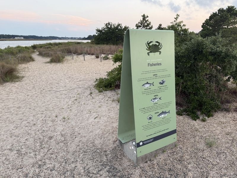
Fisheries
Bay Challenges
⎯⎯⎯
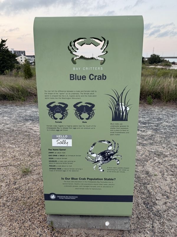
Blue Crab
Bay Critters
Bay Challenges
The oyster fishery was at its height in the 1880s, but unrestrained harvest destroyed the reefs that had accumulated over millennia, and poor water quality has impeded their return.
Bay Critters
this page online
Female crabs migrate to Virginia waters near the mouth of the Chesapeake Bay to release their eggs and can produce up to 3.2 million eggs per brood.
Blue crabs use underwater grasses for shelter from predators and a place to feed on small invertebrates and plant matter.
The Name Game!
Jimmy: an adult male
She crab or sally: an immature female
Sook: a mature female
Doubler: a male crab carrying an about-to-become-fertile female
Peeler: a crab about to molt
Sponge crab: a mature female carrying a mass of fertilized eggs on her abdomen
A blue crab's paddle-shaped swimming fins can rotate up to 40 times per minute.
Is Our Blue Crab Population Stable?
The blue crab population in the Chesapeake Bay fluctuates due to several factors. Healthy crab populations require clean water, plentiful underwater grasses, well-managed harvests, and an abundance of adult female crabs for reproduction.
Erected by Chesapeake
Topics. This historical marker is listed in these topic lists: Animals • Environment • Industry & Commerce • Waterways & Vessels.
Location. 36° 54.216′ N, 76° 5.756′ W. Marker is in Virginia Beach, Virginia. It is in Northwest. It can be reached from Marlin Bay Drive east of Winston Place, on the right when traveling east. Touch for map. Marker is at or near this postal address: 3663 Marlin Bay Dr, Virginia Beach VA 23455, United States of America. Touch for directions.

Regionally, this marker is in Hampton Roads, specifically in Coastal Virginia, and in the Hampton Roads Metropolitan Area. It is also in the American South, specifically in the Upper South, in the Tidewater, and on the Eastern Seaboard. Globally, it is in the North Atlantic Region, North America, the Western Hemisphere, the Western World, and the Anglosphere. Historically, it finds itself in what was once the territory of the Mississippian Culture, one of the original Thirteen Colonies, one of the Confederate States of America, and the Antebellum South.
Other nearby markers. At
Credits. This page was last revised on June 21, 2025. It was originally submitted on June 21, 2025, by Devry Becker Jones of Washington, District of Columbia. This page has been viewed 111 times since then and 20 times this year. Photos: 1, 2, 3. submitted on June 21, 2025, by Devry Becker Jones of Washington, District of Columbia.
