Fort Story in Virginia Beach, Virginia — The American South (Mid-Atlantic)
Aids to Navigation
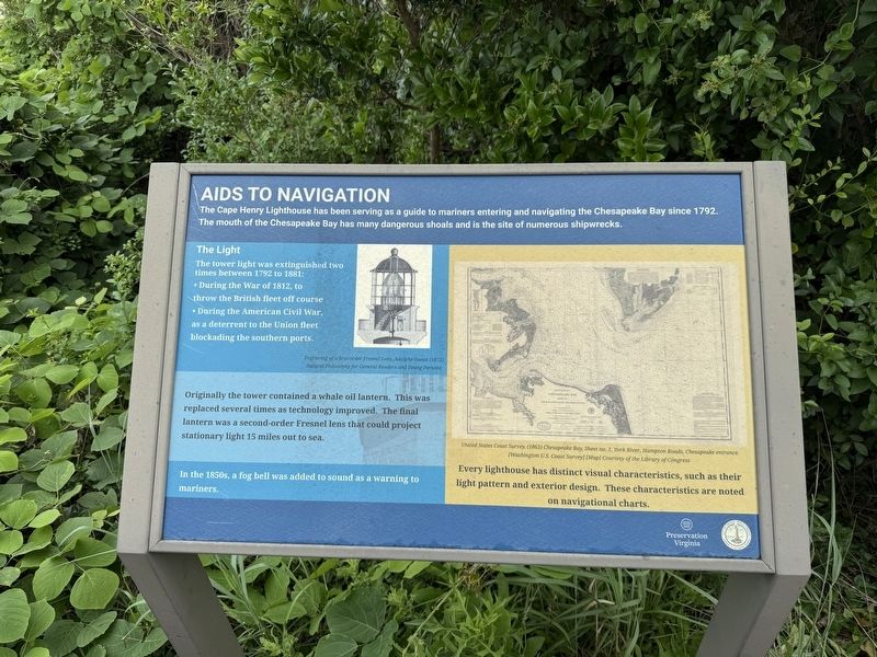
The Cape Henry Lighthouse has been serving as a guide to mariners entering and navigating the Chesapeake Bay since 1792. The mouth of the Chesapeake Bay has many dangerous shoals and is the site of numerous shipwrecks.
The Light
The tower light was extinguished two times between 1792 to 1881:
• During the War of 1812, to throw the British fleet off course
• During the American Civil War, as a deterrent to the Union fleet blockading the southern ports.
Originally the tower contained a whale oil lantern. This was replaced several times as technology improved. The final lantern was a second-order Fresnel lens that could project stationary light 15 miles out to sea.
In the 1850s, a fog bell was added to sound as a warning to mariners.
Every lighthouse has distinct visual characteristics, such as their light pattern and exterior design. The characteristics are noted on navigational charts.
Erected by Preservation Virginia; City of Virginia Beach, Virginia.
Topics and series. This historical marker is listed in these topic lists: Communications • War of 1812 • War, US Civil • Waterways & Vessels.
this page online
Location. 36° 55.546′ N, 76° 0.48′ W. Marker is in Virginia Beach, Virginia. It is in Fort Story. It can be reached from the intersection of Sicily Road and Antic Avenue, on the right when traveling south. Touch for map. Marker is at or near this postal address: 583 Atlantic Ave, Virginia Beach VA 23459, United States of America. Touch for directions.

Regionally, this marker is in Virginia’s Hampton Roads, specifically in Coastal Virginia, and in the Hampton Roads Metropolitan Area. It is also in the American South, specifically in the Upper South, in the Tidewater, and on the Eastern Seaboard. Globally, it is in the North Atlantic Region, North America, the Western Hemisphere, the Western World, and the Anglosphere. Historically, it finds itself in what was once the territory of the Mississippian Culture, one of the original Thirteen Colonies, one of the Confederate States of America, and the Antebellum South.
Other nearby markers. At least 8 other markers are within walking distance of this marker: Through the Years
Photographed by Devry Becker Jones (CC0), June 13, 2025
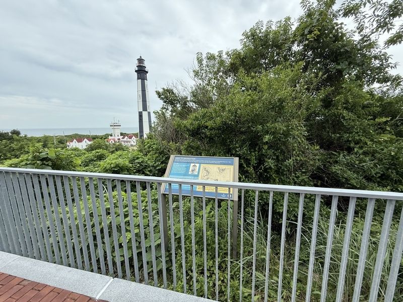
2. Aids to Navigation Marker
The New Cape Henry Lighthouse is visible in the distance.
Credits. This page was last revised on June 21, 2025. It was originally submitted on June 21, 2025, by Devry Becker Jones of Washington, District of Columbia. This page has been viewed 130 times since then and 24 times this year. Photos: 1, 2. submitted on June 21, 2025, by Devry Becker Jones of Washington, District of Columbia.
