
Apalachicola in Franklin County, Florida — The American South (South Atlantic)
Apalachicola During the Civil War

Photographed by Cosmos Mariner, June 16, 2025
1. Apalachicola During the Civil War Marker
When the Civil War began, the Apalachicola River was a vital transportation artery. With its Chattahoochee and Flint River tributaries navigable as far north as Columbus and Albany in Georgia, the river provided access to Apalachicola, a vital Southern shipping port.
Part of the Union strategy for waging the Civil war was to blockade the Southern coastline, choking off commerce and slowly strangling the Confederacy. Rivers like the Apalachicola could then be used to access the interior. As part of the Union naval strategy to blockade Southern ports, the U.S. Navy closed access to the Chattahoochee River system at Apalachicola on June 11, 1861 and maintained its coastal presence there for the remainder of the war.
Confederates responded by fortifying upstream, placing heavy cannons along their banks in a desperate effort to hold back the gunboats of the Union Navy.
Southern forces defended the town for the first year of the war, but by Spring of 1862 the Confederate forces had evacuated the town, principally due to the fact that the state convention abolished the state militia, who were garrisoning Apalachicola. It took
this page online
The Union navy settled into a long, dull presence on the coast, while Confederate officers and engineers upriver struggled to build a ship that could break the blockade and restore trade to the region. The strategic importance of the blockade was threefold: Columbus, Ga., one of the most industrialized cities in the Deep South, sat at the head of the navigable portion of the Chattahoochee River; Apalachicola, a major shipping center, lay on the coast and; a fertile cotton-growing region, the lifeblood of the Southern economy, sprawled between the two.
Apalachicola became a ghost of its antebellum self since the blockade cut off all trade to and
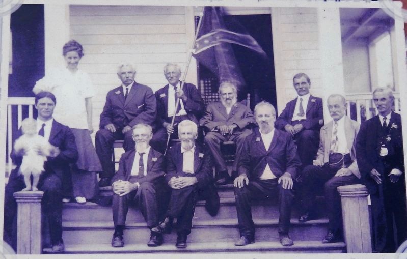
2. Marker detail: Unidentified photo
Sarah Orman and Confederate sympathizers at Orman House?
Although Apalachicola suffered economically as a result of the Civil War, the city made transition to peacetime with a brief revival of the cotton trade until railroads, destroyed in Georgia during the war, were rebuilt. Then Apalachicola entered a decade of economic stagnation until the lumber industry began to blossom in the late 1870s and heralded a new economic life for the City.
Local legend states that Sarah Orman, a proud Confederate, would simulate roof repairs whenever Union troops arrived in town. She would place a large nail keg on the Captain's walk of the house to alert southern sympathizers upriver and Confederate soldiers coming home on furlough that the Union was in Apalachicola. During the war the Orman fortune was dealt a blow and the family was forced to sell the bricks of the "Charity House" and all that currently remains
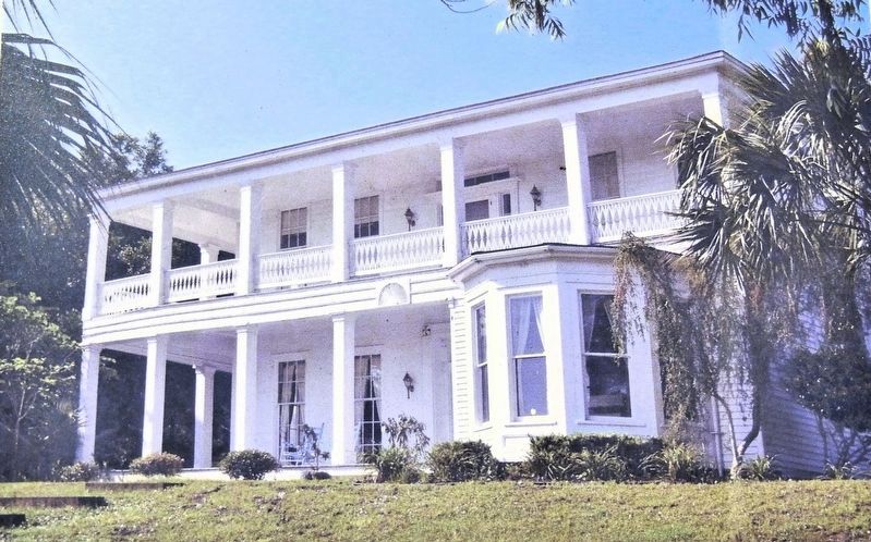
3. Marker detail: Orman House
Today the Orman House Museum State Park provides a unique glimpse back in time to Apalachicola during the early 1800s.
Scan the code to read more Apalachicola history at www.Cityofapalachicola.com
Erected by City of Apalachicola.
Topics. This historical marker is listed in these topic lists: Industry & Commerce • War, US Civil • Waterways & Vessels. A significant historical date for this entry is June 11, 1861.
Location. 29° 43.812′ N, 84° 59.286′ W. Marker is in Apalachicola, Florida, in Franklin County. It is on Market Street just south of Avenue I, on the left when traveling south. Touch for map. Marker is at or near this postal address: 202 Market Street, Apalachicola FL 32320, United States of America. Touch for directions.

Regionally, this marker is on the Florida Panhandle. It is also in the American South, specifically in the Deep South, and on the Gulf Coast. Globally, it is in the North Atlantic Region, North America, a Gulf of Mexico state, the Western Hemisphere, the Western World, and the Anglosphere. Historically, it finds itself in what was once New Spain, the territory of the Mississippian Culture, one of the Confederate States of America, and the Antebellum South.
Other nearby markers. At
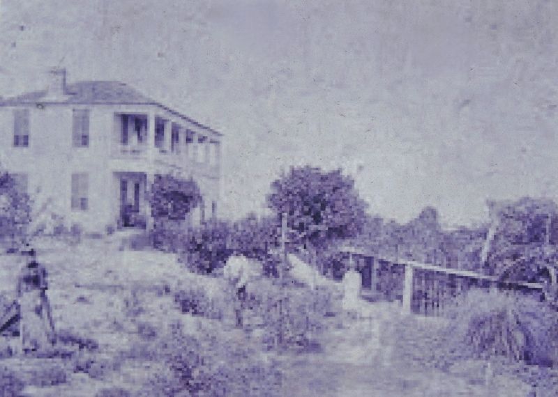
Courtesy Florida State Parks
4. Marker detail: Orman House
Orman House shown in early photo high on the bluff overlooking the Apalachicola River.

Photographed by Cosmos Mariner, June 16, 2025
5. Apalachicola During the Civil War Marker
Looking north from Market Street.
Credits. This page was last revised on June 21, 2025. It was originally submitted on June 21, 2025, by Cosmos Mariner of Cape Canaveral, Florida. This page has been viewed 276 times since then and 89 times this year. Photos: 1, 2, 3, 4, 5. submitted on June 21, 2025, by Cosmos Mariner of Cape Canaveral, Florida.
