Fair Haven in New Haven in South Central Region, Connecticut — The American Northeast (New England)
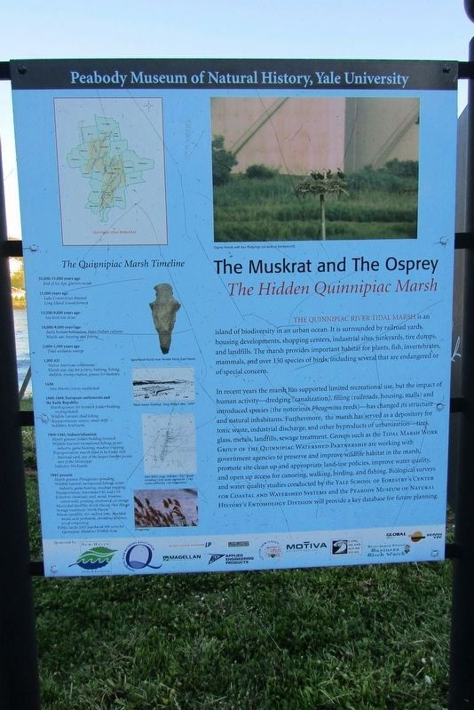
The Quinnipiac Marsh Timeline
Peabody Museum of Natural History, Yale University
Photographed by Conrad Ward, April 26, 2024
1. The Quinnipiac Marsh Timeline Marker
35,000-15,000 years ago
End of Ice Age, glaciers recede
15,000 years ago
Lake Connecticut drained
Long Island Sound formed
13,500-9,000 years ago
Sea level rise slows
10,000-9,000 years ago
Early human habitation, Paleo-Indian cultures
Marsh use: hunting and fishing
2,000-1,500 years ago
Tidal wetlands emerge
1,000 AD
Native American settlements
Marsh use: clay for pottery, hunting, fishing, shellfish, transportation, grasses for basketry
1638
New Haven Colony established
1600-1860, European settlements and the Early Republic
Marsh grasses: for livestock fodder/bedding, roofing/thatch
Wildlife harvest: shad fishing
Transportation: canoes, small skiffs
Industry: brickyards
1860-1945, Industrialization
Marsh grasses: fodder/bedding livestock
Wildlife harvest: recreational fishing, oyster industry, game hunting, muskrat trapping
Transportation: marsh filled in by Cedar Hill Railroad yard, one of the largest transfer points east of the Mississippi
Industry: brickyards
1945-present
Marsh grasses: Phragmites spreading
Wildlife harvest: recreational fishing, oyster industry, game hunting, muskrat trapping
Transportation: Interstates 1-91 and 1-95
Industry: chemicals, steel, metal, firearms, cotton mills, printing, electronics, oil storage
Municipal landfills: North Haven, New Haven
Sewage treatment: North Haven
Private landfills: 20+ million tires, shredded metal, auto junkyards, shredding facilities, wood composting
Public lands: DEP purchased 900 acres for Quinnipiac Meadows Wildlife Area.
Erected by Peabody Museum of Natural History, Yale University.
Topics. This historical marker is listed in these topic lists: Environment • Indigenous Peoples and Communities • Industry & Commerce.
Location. 41° 18.53′ N, 72° 53.34′ W.
this page online

Regionally, this marker is in the Connecticut River Valley and on the Connecticut Shoreline. It is also in the American Northeast, in New England, and on the Eastern Seaboard. Globally, it is in the North Atlantic Region, North America, the Western Hemisphere, the Western World, and the Anglosphere. Historically, it finds itself in what was once New Haven County and also one of the original Thirteen Colonies.
Other nearby markers. At least 8 other markers are within 2 miles of this marker, measured as the crow flies: How have people changed the marsh? (a few steps from this marker); The Quinnipiac River (approx. 0.2 miles away); Grannis Island (approx. 0.7 miles away); Welcome to the Preserve (approx. 0.8 miles away); The Connecticut Twenty-Ninth Colored Regiment, C. V. Infantry (approx.
Photographed by Conrad Ward, April 26, 2024
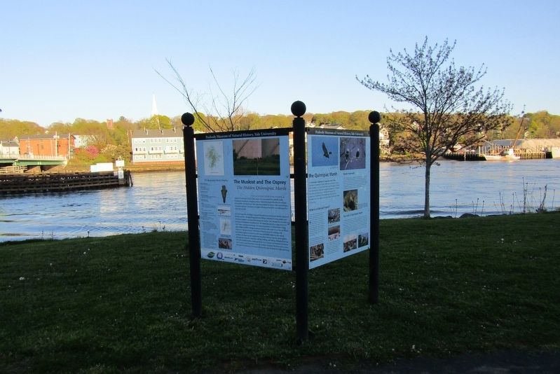
2. The Quinnipiac Marsh Timeline Marker
Also see . . .
1. Yale Peabody Museum. (Submitted on May 30, 2025, by Michael Herrick of Southbury, Connecticut.)
2. Peabody Museum of Natural History (Wikipedia). (Submitted on May 30, 2025, by Michael Herrick of Southbury, Connecticut.)
Photographed by Conrad Ward, April 26, 2024
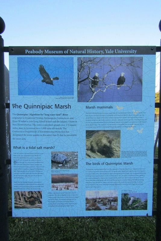
3. Neighboring panel
Credits. This page was last revised on May 19, 2026. It was originally submitted on May 26, 2025, by Conrad Ward of Guilford, Connecticut. This page has been viewed 151 times since then and 20 times this year. Last updated on June 21, 2025, by Conrad Ward of Guilford, Connecticut. Photos: 1, 2, 3. submitted on May 26, 2025, by Conrad Ward of Guilford, Connecticut. • Devry Becker Jones was the editor who published this page.
