Marker Logo
THE HISTORICAL
MARKER DATABASE
“Bite-Size Bits of Local, National, and Global History”
Nags Head in Dare County, North Carolina — The American South (South Atlantic)
 

About the Park
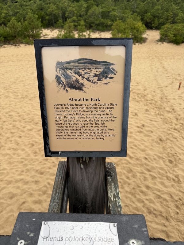
 
 
About the Park Marker image. Click for full size.
By Devry Becker Jones (CC0), June 13, 2025
1. About the Park Marker
Inscription. Jockey's Ridge became a North Carolina State Park in 1975 after local residents and visitors resisted the move to develop the dune. The name, Jockey's Ridge, is a mystery as to its origin. Perhaps it came from the practice of the early "bankers" who used the flats around the base of the dunes to race the Spanish mustangs that ran wild in the area while spectators watched from atop the dune. More likely, the name may have originated as a result of the ownership of the dune by a family with the name of, or similar to, Jackey.
 
Erected by Friends of Jockey's Ridge.
 
Topics. This historical marker is listed in these topic lists: Natural FeaturesParks & Recreational Areas. A significant historical year for this entry is 1975.
 
Location. 35° 57.756′ N, 75° 37.92′ W. Marker is in Nags Head, North Carolina, in Dare County. It can be reached from West Carolista Drive west of South Croatoan Highway (U.S. 158), on the right when traveling south. Touch for map. Marker is at or near this postal address: 300 W Carolista Dr, Nags Head NC 27959, United States of America. Touch for directions.

Regionally, this marker is in North
Paid Advertisement
Click or scan to see
this page online
Carolina’s Coastal Plain and on the Outer Banks. It is also in the American South, specifically in the Upper South, in the Tidewater, and on the Eastern Seaboard. Globally, it is in the North Atlantic Region, North America, the Western Hemisphere, the Western World, and the Anglosphere. Historically, it finds itself in what was once the territory of the Mississippian Culture, one of the original Thirteen Colonies, one of the Confederate States of America, and the Antebellum South.

Other nearby markers. At least 8 other markers are within 3 miles of this marker, measured as the crow flies: Jockey’s Ridge State Park (about 400 feet away, measured in a direct line); A Natural Wind Laboratory (about 400 feet away); Jockey's Ridge (about 500 feet away); Carolista Baum (approx. 0.3 miles away); Francis & Gertrude Rogallo (approx. 0.4 miles away); Wreck of the U.S.S. Huron (approx. 0.9 miles away); Veterans Memorial (approx. 2.2 miles away); The Mystery Wreck (approx. 2.2 miles away). Touch for a list and map of all markers in Nags Head.
 
Another marker is no longer nearby. The Wreck of the Huron (was approx. 0.9
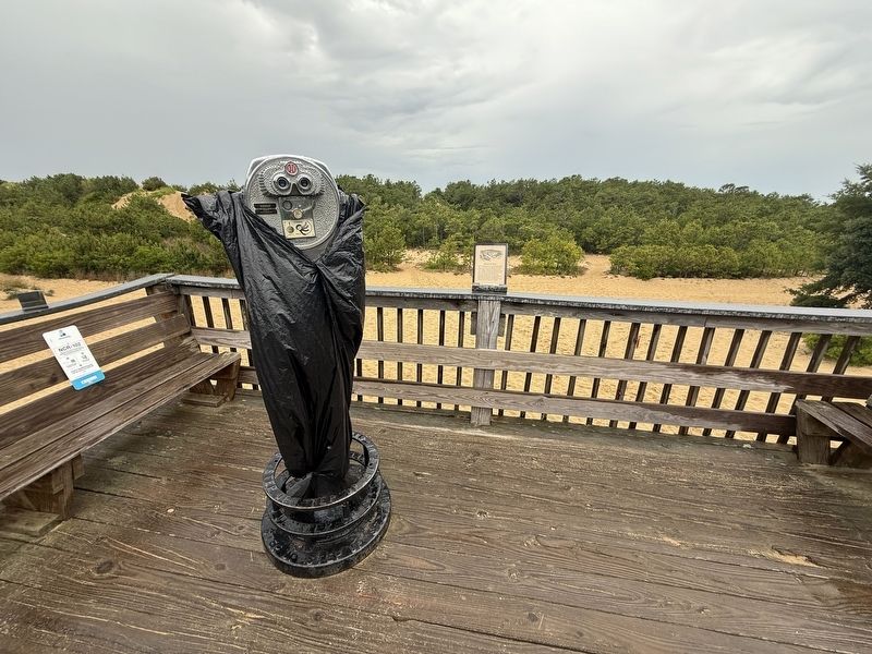
About the Park Marker image. Click for full size.
Photographed by Devry Becker Jones (CC0), June 13, 2025
2. About the Park Marker
miles away but has been confirmed missing).
 
 
Credits. This page was last revised on June 21, 2025. It was originally submitted on June 21, 2025, by Devry Becker Jones of Washington, District of Columbia. This page has been viewed 116 times since then and 26 times this year. Photos:   1, 2. submitted on June 21, 2025, by Devry Becker Jones of Washington, District of Columbia.

m=276268

CeraNet Cloud Computing sponsors the Historical Marker Database.
This website earns income from purchases you make after using our links to Amazon.com. We appreciate your support.
Paid Advertisement
Jul. 26, 2026