Plymouth in Washington County, North Carolina — The American South (South Atlantic)
Battle of Plymouth
Strategic Port & Transportation Center
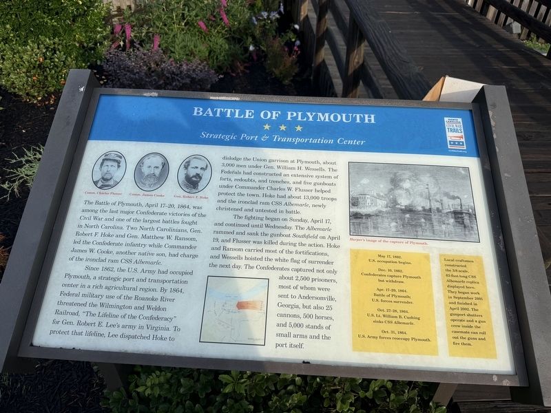
The Battle of Plymouth, April 17-20, 1864, was among the last major Confederate victories of the Civil War and one of the largest battles fought in North Carolina. Two North Carolinians, Gen. Robert F. Hoke and Gen. Matthew W. Ransom, led the Confederate infantry while Commander James W. Cook, another native son, had charge of the ironclad ram CSS Albemarle.
Since 1862, the U.S. Army had occupied Plymouth, a strategic port and transportation center in a rich agricultural region. By 1864, Federal military use of the Roanoke River threatened the Wilmington and Weldon Railroad, "The Lifeline of the Confederacy" for Gen. Robert E. Lee's army in Virginia. To protect that lifeline, Lee dispatched Hoke to dislodge the Union garrison at Plymouth, about 3,000 men under Gen. William H. Wessells. The Federals had constructed an extensive system of forts, redoubts, and trenches, and five gunboats under Commander Charles W. Flusser helped protect the town. Hoke had about 13,000 troops and the ironclad ram CSS Almebarle, newly christened and untested in battle.
The fighting began on Sunday, April 17, and continued until Wednesday.
this page online
[Sidebar:]
May 17, 1862. U.S. occupation begins.
Dec. 10, 1862. Confederates capture Plymouth but withdraw.
Apr. 17-20, 1864. Battle of Plymouth; U.S. forces surrender.
Oct. 27-28, 1864. U.S. Lt. William B. Cushing sinks CSS Albemarle.
Oct. 31, 1864. U.S. Army forces reoccupy Plymouth.
[Sidebar:]
Local craftsmen constructed the 3/8-scale, 63-foot-long CSS Albemarle replica displayed here. They began work in September 2001 and finished in April 2002. The gunport shutters operate and a gun crew inside the casemate can roll out the guns and fire them.
Erected by North Carolina Civil War Trails.
Topics and series. This historical marker is listed in these topic lists: War, US Civil • Waterways & Vessels.
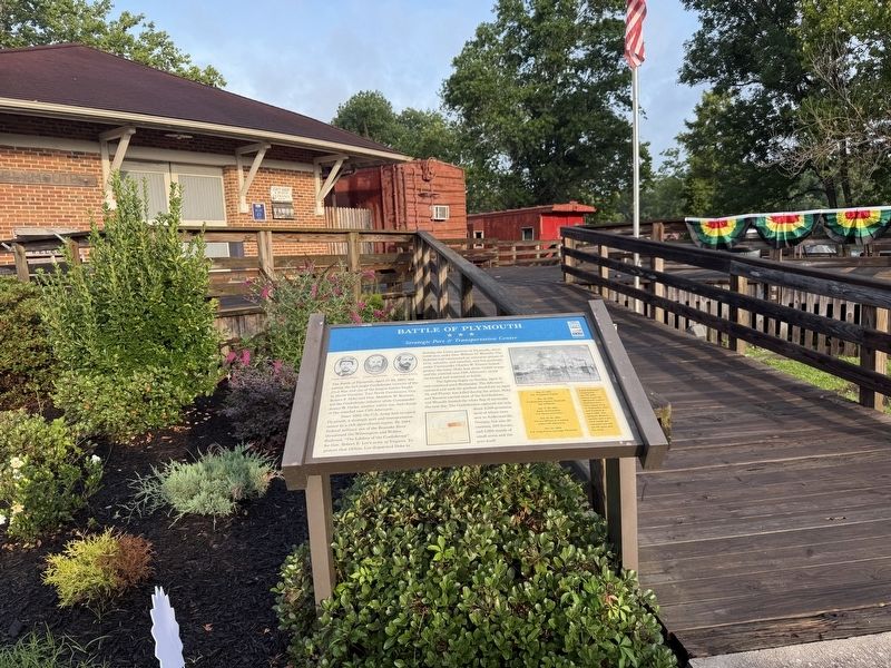
Location. 35° 52.122′ N, 76° 44.871′ W. Marker is in Plymouth, North Carolina, in Washington County. It is on East Water Street east of Madison Street, on the right when traveling west. Touch for map. Marker is at or near this postal address: 302 E Water St, Plymouth NC 27962, United States of America. Touch for directions.

Regionally, this marker is in the Coastal Plain. It is also in the American South, specifically in the Upper South, in the Tidewater, and on the Eastern Seaboard. Globally, it is in the North Atlantic Region, North America, the Western Hemisphere, the Western World, and the Anglosphere. Historically, it finds itself in what was once the territory of the Mississippian Culture, one of the original Thirteen Colonies, one of the Confederate States of America, and the Antebellum South.
Other nearby markers. At least 8 other markers are within walking distance of this marker: Replica 6.4 inch Brooke Rifled Cannon (a few steps from this marker); CSS Albemarle (within shouting distance

circa July 1, 2012
3. The capture of Plymouth, North Carolina, October 31, 1864 1864.
(Illus. in: Harper's Weekly, (1864 December 24), p. 820. Library of Congress [LC-USZ62-61969])
Battle of Plymouth (1864) at North Carolina History Project:
Click for more information.
Battle of Plymouth (1864) at North Carolina History Project:
Click for more information.
Other markers no longer nearby. Battle of Plymouth (has been replaced with this marker); Ram Albemarle (was about 700 feet away but has been replaced with another marker now near it).
Related marker. Click here for another marker that is related to this marker. This marker has replaced the linked marker.
Credits. This page was last revised on June 22, 2025. It was originally submitted on June 22, 2025, by Devry Becker Jones of Washington, District of Columbia. This page has been viewed 213 times since then and 43 times this year. Photos: 1, 2. submitted on June 22, 2025, by Devry Becker Jones of Washington, District of Columbia. 3. submitted on July 1, 2012, by Bernard Fisher of Richmond, Virginia.
