Plymouth in Washington County, North Carolina — The American South (South Atlantic)
Plymouth Water Street Landing Park
Photographed by Devry Becker Jones (CC0), June 14, 2025
1. Plymouth Water Street Landing Park Marker
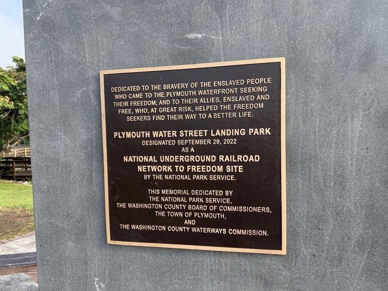
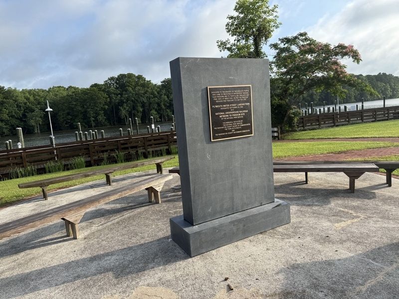
Dedicated to the bravery of the enslaved people who came to the Plymouth waterfront seeking their freedom; and to their allies, enslaved and free, who, at great risk, helped the freedom seekers to find their way to a better life.
Designated September 29, 2022
as a
National Underground Railroad
Network to Freedom Site
by the National Park Service.
Erected by National Park Service, U.S. Department of the Interior; The Washington County Board of Commissioners; the Town of Plymouth, North Carolina; and the Washington County Waterways Commission.
Topics and series. This historical marker is listed in these topic lists: Abolition & Underground RR • African Americans • Industry & Commerce • Waterways & Vessels. In addition, it is included in the Network to Freedom series list. A significant historical date for this entry is September 29, 2022.
Location. 35° 51.989′ N, 76° 45.23′ W. Marker is in Plymouth, North Carolina, in Washington County. It is at the intersection of West Water Street and Monroe Street, on the right when traveling west on West Water Street. Touch for map. Marker
this page online

Regionally, this marker is in North Carolina’s Coastal Plain. It is also in the American South, specifically in the Upper South, in the Tidewater, and on the Eastern Seaboard. Globally, it is in the North Atlantic Region, North America, the Western Hemisphere, the Western World, and the Anglosphere. Historically, it finds itself in what was once the territory of the Mississippian Culture, one of the original Thirteen Colonies, one of the Confederate States of America, and the Antebellum South.
Other nearby markers. At least 8 other markers are within walking distance of this marker: Plymouth was at the Center of the Underground Railroad in North Carolina (here, next to this marker); Why Plymouth? (here, next to this marker); Roanoke River Lighthouse (a few steps from this marker); Hampton Academy (approx. 0.2 miles away); Brick House Landing (approx. 0.2 miles away); Augustin Daly (approx. ¼ mile away); Battle of Plymouth (approx. ¼ mile away); Cushing’s Torpedo (approx. ¼ mile away). Touch for a list and map
Photographed by Devry Becker Jones (CC0), June 14, 2025
2. Plymouth Water Street Landing Park Marker
Another marker is no longer nearby. Battle of Plymouth (was approx. ¼ mile away but has been replaced with another marker now near it).
Credits. This page was last revised on June 22, 2025. It was originally submitted on June 22, 2025, by Devry Becker Jones of Washington, District of Columbia. This page has been viewed 115 times since then and 15 times this year. Photos: 1, 2. submitted on June 22, 2025, by Devry Becker Jones of Washington, District of Columbia.
