Ladera Ranch in Orange County, California — The American West (Pacific Coastal)
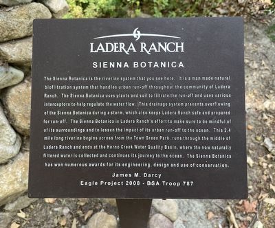
Sienna Botanica
Photographed by Adam Margolis, June 22, 2025
1. Sienna Botanica Marker
Erected by James M. Darcy, BSA Troop 787.
Topics. This historical marker is listed in these topic lists: Animals • Horticulture & Forestry • Parks & Recreational Areas
this page online
Location. 33° 33.516′ N, 117° 38.173′ W. Marker is in Ladera Ranch, California, in Orange County. It is on Falkner Drive. Touch for map. Marker is at or near this postal address: 34 Falkner Dr, Ladera Ranch CA 92694, United States of America. Touch for directions.

Regionally, this marker is in Greater Los Angeles and in the Peninsular Ranges. It is also on the American Pacific Coast. Globally, it is in North America, on the Ring of Fire, in the Pacific Rim, in the Western Hemisphere, in the Western World, and in the Anglosphere. Historically, it finds itself in what was once New Spain and also Mexico’s Alta California.
Other nearby markers. At least 8 other markers are within 3 miles of this marker, measured as the crow flies: Reese Joseph Imhoff (approx. ¾ mile away); Sergeant Matt Davis Park (approx. 1.6 miles away); Oso Parkway Bridge (approx. 1.8 miles away); James Hill, Born 1963 (approx. 1.8 miles away); a different marker also named Oso Parkway Bridge (approx. 2 miles away); Topanga Formation (approx. 2½ miles away); Aguaje del Cuate Historic Highway 101
Photographed by Adam Margolis, June 22, 2025
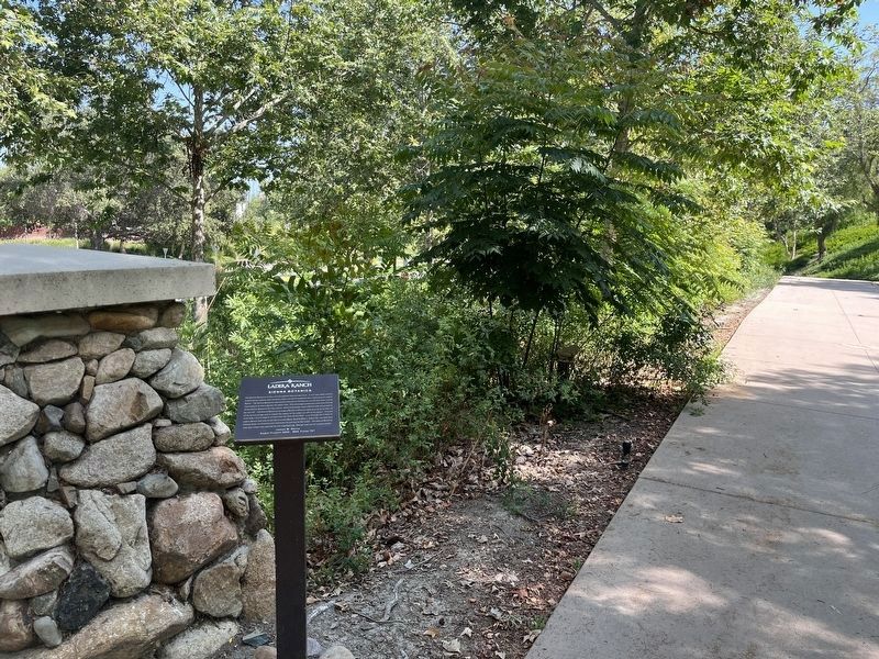
2. Sienna Botanica Trail and Marker
Photographed by Adam Margolis, June 22, 2025
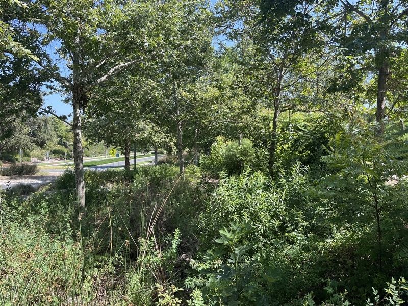
3. Sienna Botanica
Credits. This page was last revised on July 13, 2025. It was originally submitted on June 23, 2025, by Adam Margolis of Mission Viejo, California. This page has been viewed 109 times since then and 16 times this year. Photos: 1, 2, 3. submitted on June 23, 2025, by Adam Margolis of Mission Viejo, California. • Bill Pfingsten was the editor who published this page.
