Near Winton in Hertford County, North Carolina — The American South (South Atlantic)
Meherrin Town
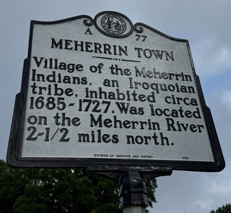
Erected 1992 by Division of Archives and History. (Marker Number A-77.)
Topics and series. This historical marker is listed in these topic lists: Indigenous Peoples and Communities • Settlements & Settlers • Waterways & Vessels. In addition, it is included in the North Carolina Division of Archives and History series list. A significant historical year for this entry is 1685.
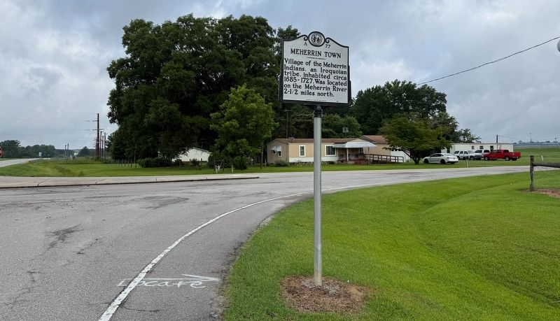
Location. 36° 24.006′ N, 76° 57.506′ W. Marker is near Winton, North Carolina, in Hertford County. It is at the intersection of U.S. 158 and Parkers Fishery Road (County Road 1175), on the right when traveling west on U.S. 158. Touch for map. Marker is at or near this postal address: 103 Parkers Fishery Rd, Winton NC 27986, United States of America. Touch for directions.

Regionally, this marker is in North Carolina’s Coastal Plain. It is also in the American South, specifically in the Upper South, in the Tidewater, and on the Eastern Seaboard. Globally, it is in the North Atlantic Region, North
this page online
Other nearby markers. At least 8 other markers are within 3 miles of this marker, measured as the crow flies: Hertford County UDC Monument (approx. 1.4 miles away); Burning of Winton (approx. 1.4 miles away); Hertford County WWI Memorial (approx. 1.4 miles away); Chowan Academy (approx. 1.4 miles away); a different marker also named Burning of Winton (approx. 1½ miles away); Early Exploration (approx. 1.6 miles away); Lemuel W. Boone (approx. 2.2 miles away); Potecasi Creek (approx. 2½ miles away). Touch for a list and map of all markers in Winton.
Another marker is no longer nearby. Burning of Winton (was approx. 1.4 miles away but has been replaced with another marker now near it).
Also see . . . Meherrin Town (A-77). Division of Archives and History profile of the marker including an expanded marker. (Submitted on June 23, 2025, by Devry Becker Jones of Washington, District of Columbia.)
Credits. This page was last revised on June 23, 2025. It was originally submitted on June 23, 2025, by Devry Becker Jones of Washington, District of Columbia. This page has been viewed 154 times since then and 53 times this year. Photos: 1, 2. submitted on June 23, 2025, by Devry Becker Jones of Washington, District of Columbia.
